Good afternoon, everyone. Snow continues to slowly melt across the Commonwealth as we get set for another light snow maker to impact parts of southern and southeastern Kentucky. This is ahead of a big pattern change that will usher in a very busy pattern for February.
I have no changes on the chance for a light snowfall tonight and Monday morning in the south and southeast…
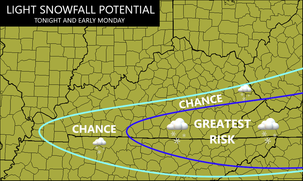
There’s a chance for some areas to pick up on an inch down here, so keep that in mind for early Monday travel.
The rest of the state sees calm weather that should last through the middle of the week. After that, let’s crank up the action.
Our southwestern storm system kicks out and rolls in here with heavy rain and gusty winds starting later Thursday and going through Saturday. Winds may reach 40mph with this system before colder air wraps in behind this for Groundhog Day Sunday…
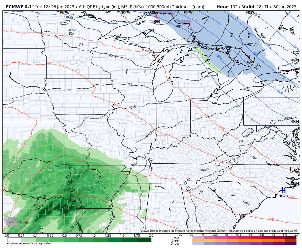
1″2″ of rain look common with this system, but the chance is there for this to come in higher than that. The models are getting wetter as we get closer.
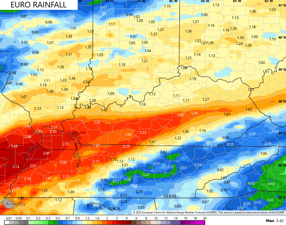
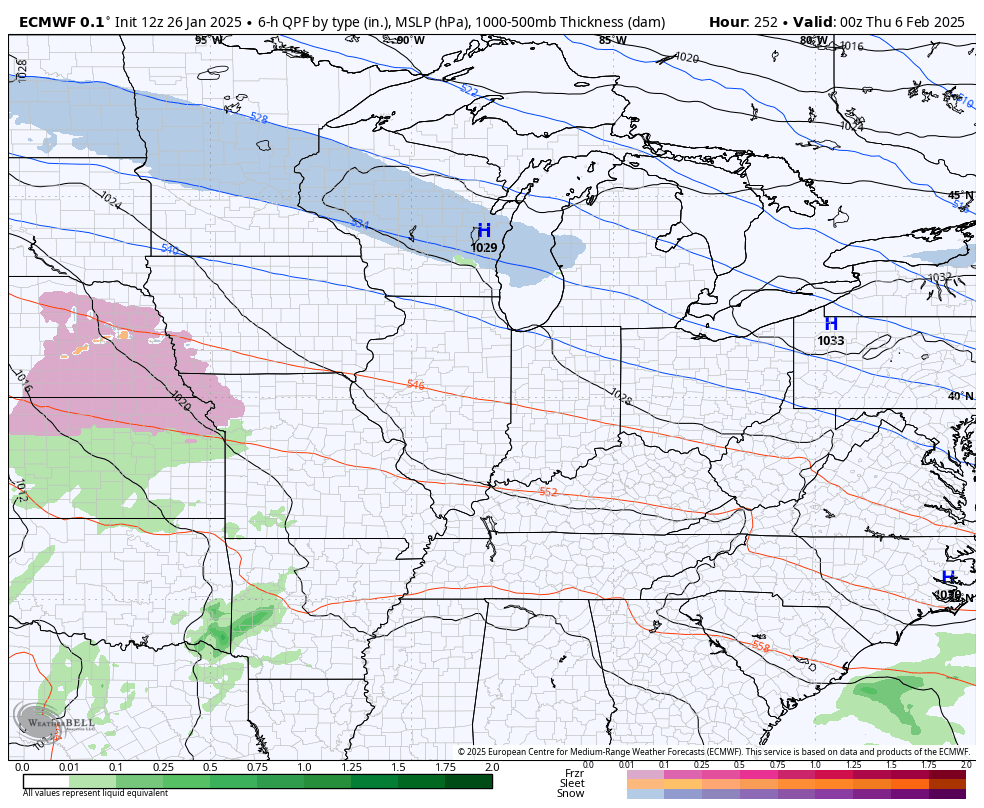
Here’s the EURO rainfall forecast…
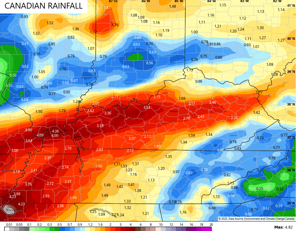
The Canadian has some 3″ + rain totals…
From here, we are going to see the models struggle with this active pattern that starts wet and goes back to winter later in the first week of the month.
The latest EURO continues to track several storm systems during this transition and it’s also seeing them wind up farther south than earlier runs…
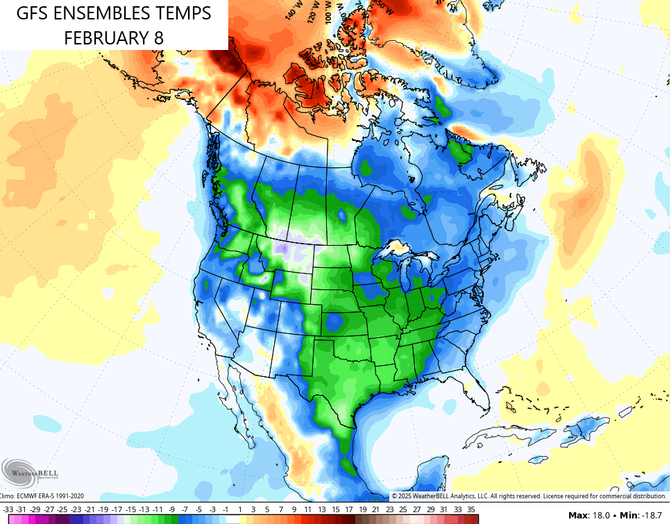
That farther south and east track for these storms may very well continue as the models slowly grasp the amount of cold coming back into the country. The GFS Ensembles are now catching up to the reality of this cold coming into the west and spreading east…
I may drop in for another update this evening. I leave you with your friendly Kentucky Weather radars to track the precipitation development to our south and southwest…

Have a great day and take care.
