Good afternoon, everyone. I wanted to drop by with a quick update on the action-packed pattern ahead of us. This gets started with the chance for a few strong to severe storms in parts of the region later Wednesday with rounds of heavy rain kicking in behind that.
As a warm front lifts northward across the state later Wednesday with a 30 degree temp spread on either side of this. Thunderstorms fire in the vicinity of the front and some of these may be strong or severe through Wednesday night, especially in the south.
This is where the Storm Prediction Center is highlighting with a low-end risk for a few severe storms…

There’s just enough shear available for a quick tornado spin up…

If any storm does go severe, damaging wind would be the primary threat…

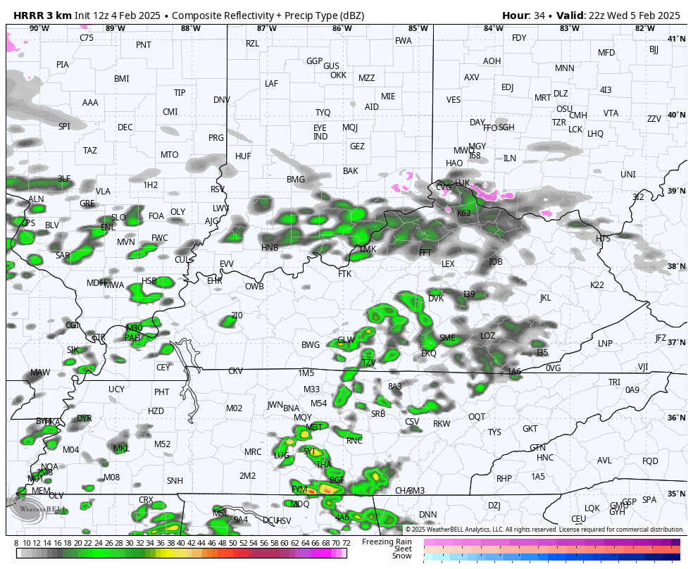
You can see these storms start going up on the future radar from the HRRR. This starts late Wednesday afternoon and goes through Thursday morning…
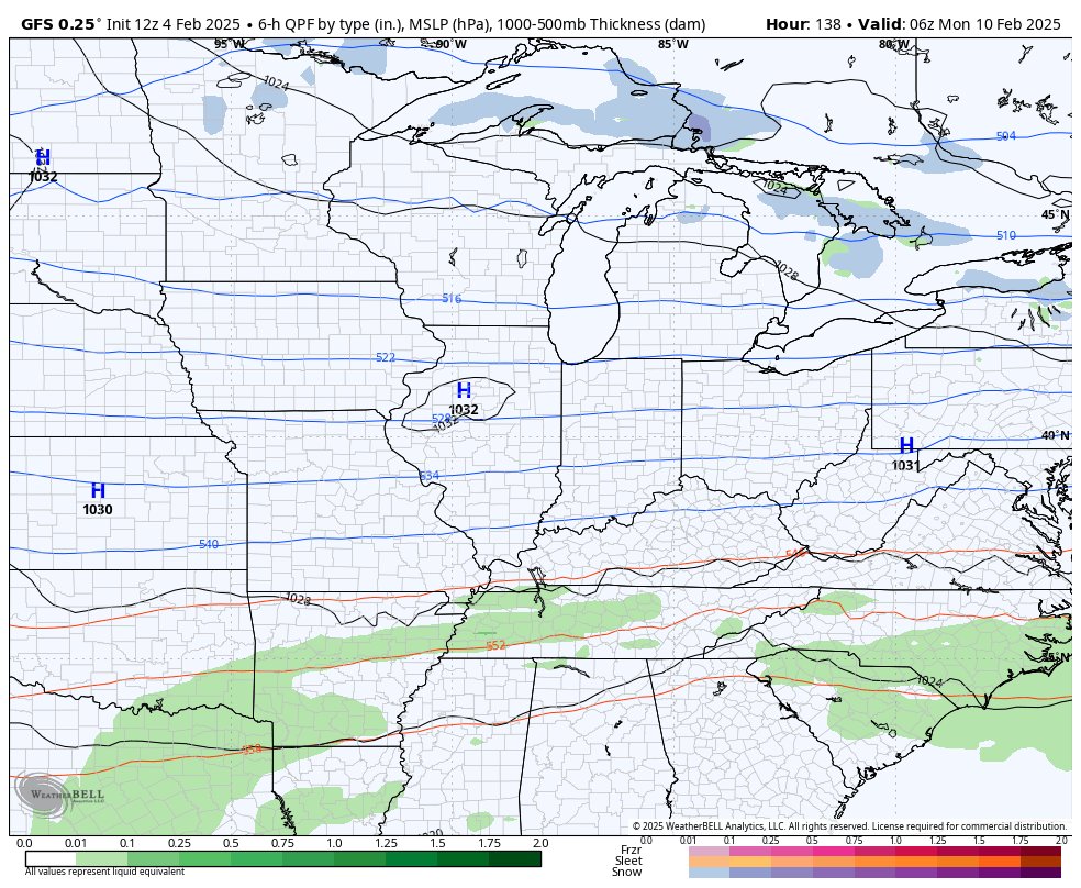
This system rolls through by Thursday night with another system on tap this weekend. That could also bring more in the way of heavy rain, setting the stage for some flooding issues. My thoughts on all this have not changed…

I also don’t have any changes with next week as the pattern is likely to threaten us with winter weather on more than one occasion.
The models will continue to slowly figure all this out with some wild swings likely to continue. Speaking of wild swings, the GFS went from showing storms going by well to our north to now showing these systems well to our south…
I’ll update everything on WKYT starting at 4pm then again here on KWC this evening.
Enjoy your day and take care.

to snow and ice