Good afternoon, everyone. The first part of our winter storm has come and gone with a general 1″-6″ for most of Kentucky. Round two arrives tonight, adding to those totals and ushering in bitterly cold wind chills.
Winter Weather Advisories are out for some areas with this next round of snow moving in. My view is it’s part of the same storm system so just extend the warning time instead of complicating matters with multiple headlines out at the same time, but I digress. Everything we do in weather should be to make things as easy as we can for the general public to understand.
Here’s a look at the latest Advisories and warnings…

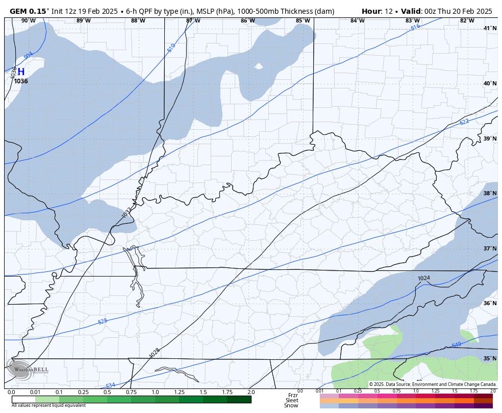
This next round of snow should drop another 1″-3″ across central and eastern Kentucky.
In these types of northwest flow setups, I’ve found that if you look at the thermal minimum at 850mb, some healthy snows develop along and just ahead of that. In this case we have -18c air at 850mb moving in here. Sure enough, that’s exactly where the models are showing snow developing this evening through early Thursday…
With such cold air in place, the fluff factor is going to be off the charts! This will be another high impact travel event overnight into Thursday.
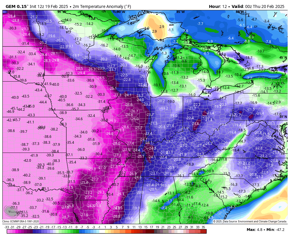
Bitterly cold temps are out there today and will be with us through Friday. How far below normal are these temps? Check it out…
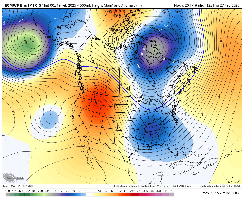
Winter isn’t done after this, even as it takes a break early next week. The pattern taking shape for early March is ugly and can bring a lot of cold and snow threats our way…
I’ll have the latest on WKYT-TV coming later today and on KWC this evening. As usual, I leave you with your tracking tools including our Kentucky Weather Cams to watch the wild weather across entire region…

Enjoy the afternoon and take care.

I’ll believe March models when it’s actually March.
Jeff, didn’t you say that about this current cold we have this week?