Good Saturday, everyone. Many Kentuckians are picking up the pieces today after deadly tornadoes and severe weather swept across the state last night. After a break this weekend, more in the way of big storms and heavy rains target the region in the coming days.
Multiple fatalities have been confirmed with a tornado that swept from Somerset to London. The extent of the damage, injuries and fatalities will become clearer through the day as crews continue to survey everything.
The initial damage from the London area is pretty catastrophic…
This is a look at the damage at Sunshine Hills in Laurel County.
Find the latest information on our website: https://t.co/GuHrVC09hm pic.twitter.com/ra50c275sn— WKYT (@WKYT) May 17, 2025
My heart breaks for these folks. Prayers up for all those impacted by this recent wave of severe weather.
The weather is much calmer today with sun and 70s.
There’s the chance for a few storms going up in the west and south on Sunday and there’s even a low-end risk for severe storms in the west…

That risk area pushes a bit east for Monday…

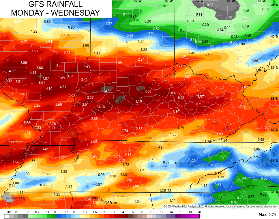
This is when clusters of strong to severe storms drop in from northwest to southeast and continue through Tuesday into Wednesday…
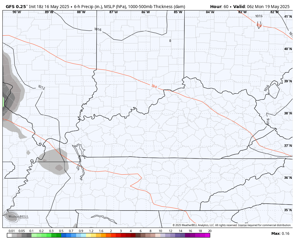
In addition to the severe threat, the potential for additional flooding rains will be noted. Recent model runs are suggesting a general 1″-4″ of rain during this time…
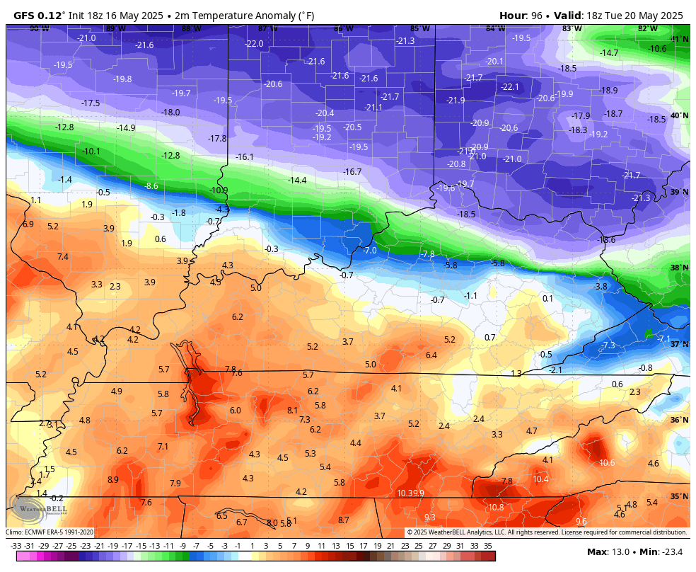
The heavy rains will finally come to an end as chilly winds kick in from the middle of the week through the start of the Memorial Day Weekend. Temps are WELL below normal as the Barney colors show back up…
Have a great Saturday and take care.

Wed-Fri seem to bear out your thoughts, but it’s still not bad.
Let’s all show love and support the best we can to the survivors/victims’ families affected by last night’s devastation.
At 10:30am CDT nearly 85,000 Kentuckians remain without power. We had two tornado warnings in the Bowling Green area, one was from the supercell that ravaged Somerset. My PWS recorded an 83mph wind gust. Chainsaws are buzzing all around the neighborhood.