Good Friday, everyone. We continue to gear up for a big time blast of early fall weather across the state as we head into the closing days of August. This blast is coming on the heels of the pretty darn nice weather we have out there to start the weekend.
Temps over the past few days have been below normal for many areas with today finding temps getting closer to the normal middle 80s. Skies look good and this bodes well for high school football action this evening.
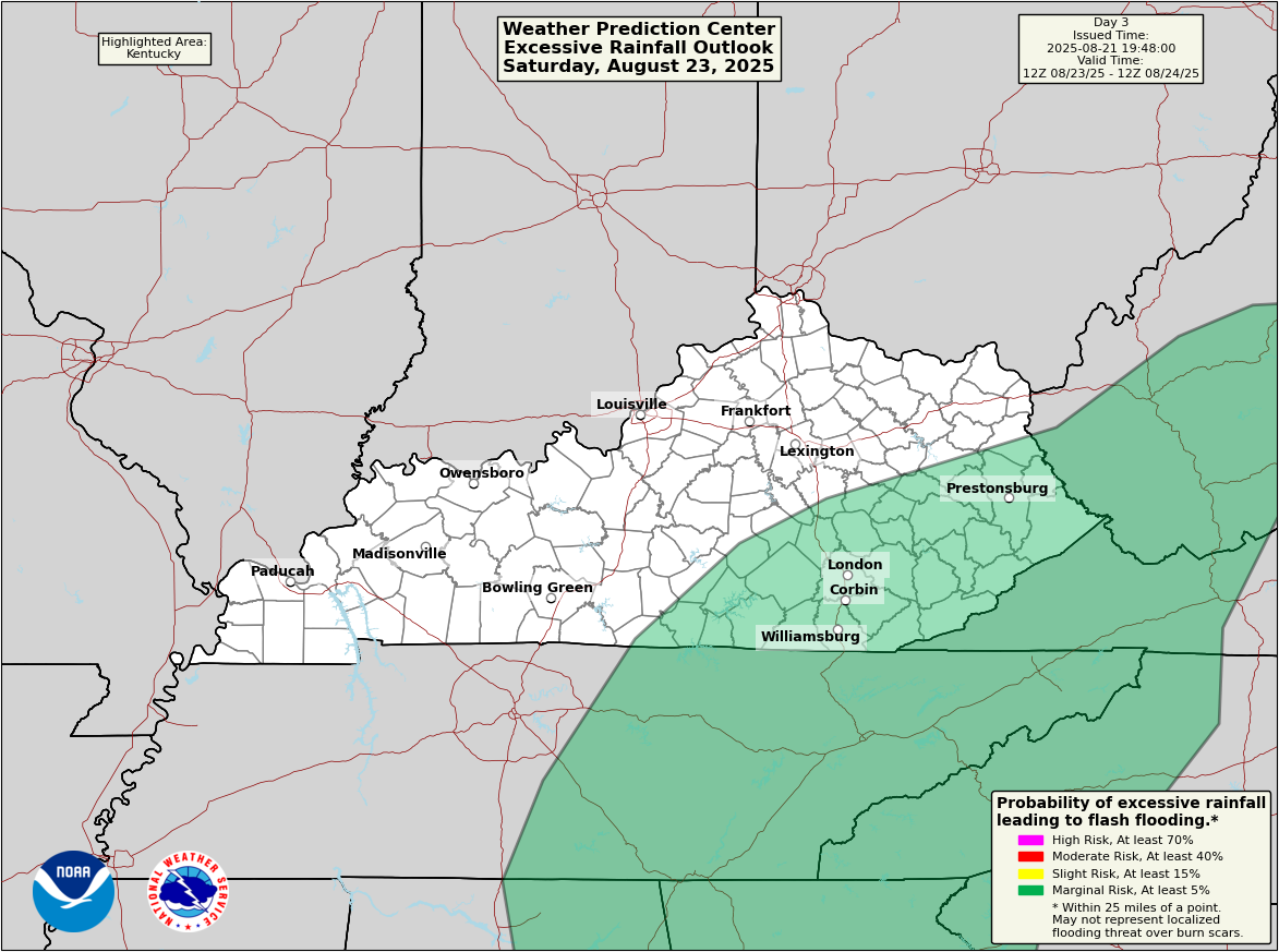
Saturday will find temps going up a few more degrees on a strong southwest wind. There’s also a plume of moisture creating showers and storms across areas of southern and eastern Kentucky with the potential for some locally heavy rains.
There’s an outside shot for some local high water issues and the WPC is highlighting this low-end threat for Saturday…
With our big fall cold front sweeping in on Sunday, it’s time to upgrade to a full blown Pumpkin Spice ALERT…
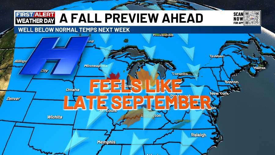
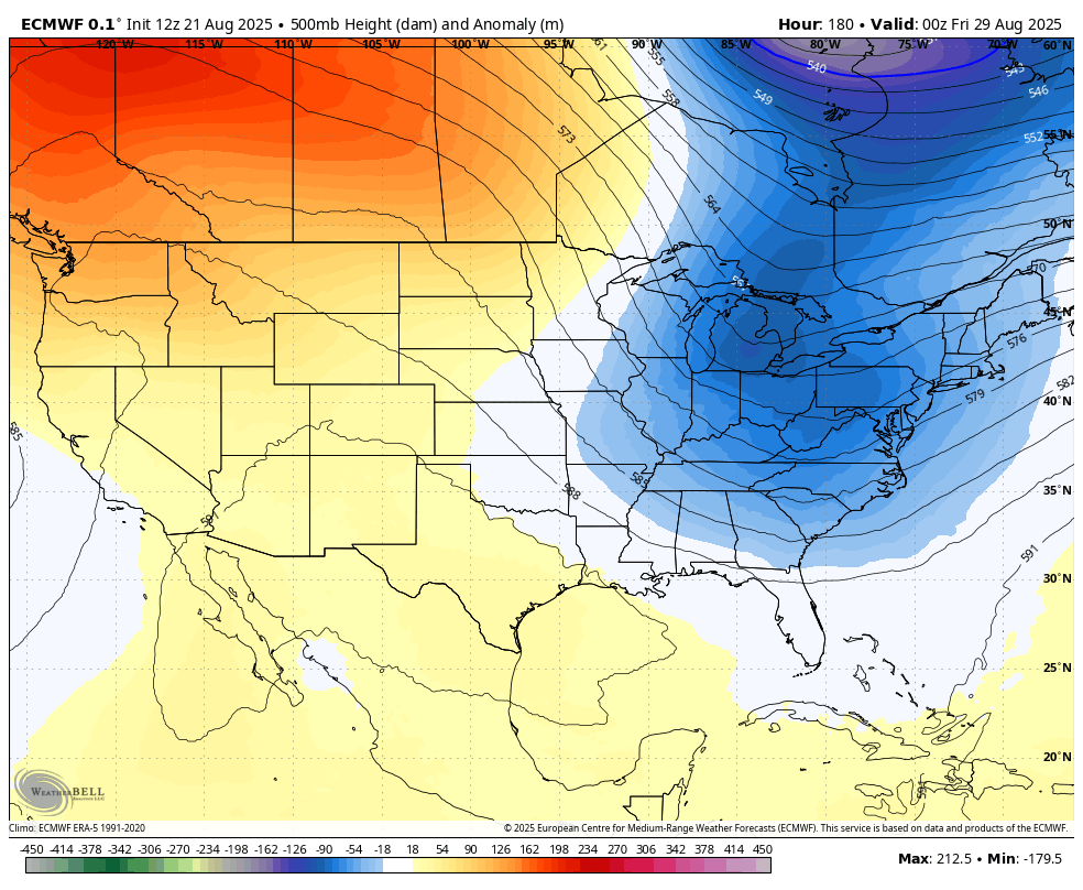
This big dip in the jet stream keeps our highs mainly in the 70s for most of next week. Overnight lows will drop to around 50 on more than one occasion with the chance for a few upper 40s in the traditional cool spot.
We aren’t alone in this late September feel as this blast takes up residence for much of the country…
The weather for Labor Day Weekend may be in between troughs, and this could bring a wet weather maker into our region.
The models continue to go toward another trough in the east for early September…
It would be nice to get a cutoff system or two in here as that would help bring us some rain.
To the tropics we go and there’s good news with Hurricane Erin as this storm continues to rapidly pull away from the eastern seaboard…

Look where this storm winds up in the coming days…

Additional systems may develop behind Erin over the next few days, but none look threatening at the moment…

Make it a fantastic Friday and take care.

This is a common August cool spell. No need to overblow it. And pumpkin spice still sucks. 🙂