Good evening, everyone. Snow continues to impact southeastern Kentucky as bitterly cold temps settle back into the Commonwealth. I wanted to drop by for a super quick update as we look head to the weekend and the first week of February.
A Winter Storm Warning is now out for far southeastern Kentucky with a Winter Weather Advisory for a few areas surrounding that…

Snow continues to spin across the very high mountains along the Virginia border, bringing several inches to those areas.
The rest of the state will see snow showers and a few snow squalls kicking in on Saturday as brutally cold air returns. Temps tonight reach 5 below to 5 above in many areas with wind chill temps hitting -10 to -20 at times for parts of central and northern Kentucky.
Sunday will be another brutally cold day.
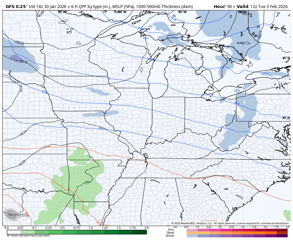
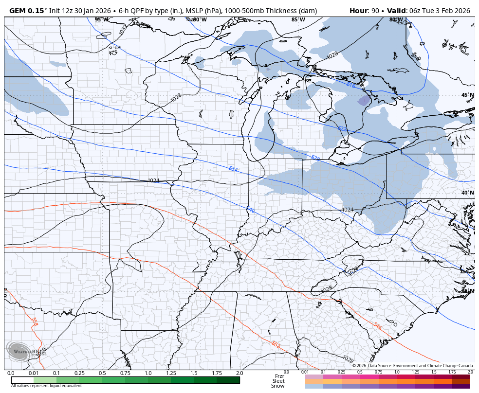
The pattern next week will throw a system at us with snow and/or a mix Tuesday and Wednesday. That will be followed up by another arctic front by the end of the week and weekend…
GFS
CANADIAN
The full update comes your way later tonight. I’ll also have updates on my Meteorologist Chris Bailey Facebook Page
Until then, here are your tracking tools for the day…


Make it a great Friday and take care.

Snow is still coming down.