Good afternoon, everyone. Heavy snow continues to slowly wind down in the far southeast as the winter storm moves away. Snow showers and squalls are out there for the rest of the region as bitterly cold air keeps rolling.
The Winter Storm Warning continues for the far southeast…

Snow showers and squalls are kicking it up and will do so through the evening. Some of these will have eaten their Wheaties and will put down enough snow to cover roads.
Temps are in the teens with wind chills in the singles or a bit below.
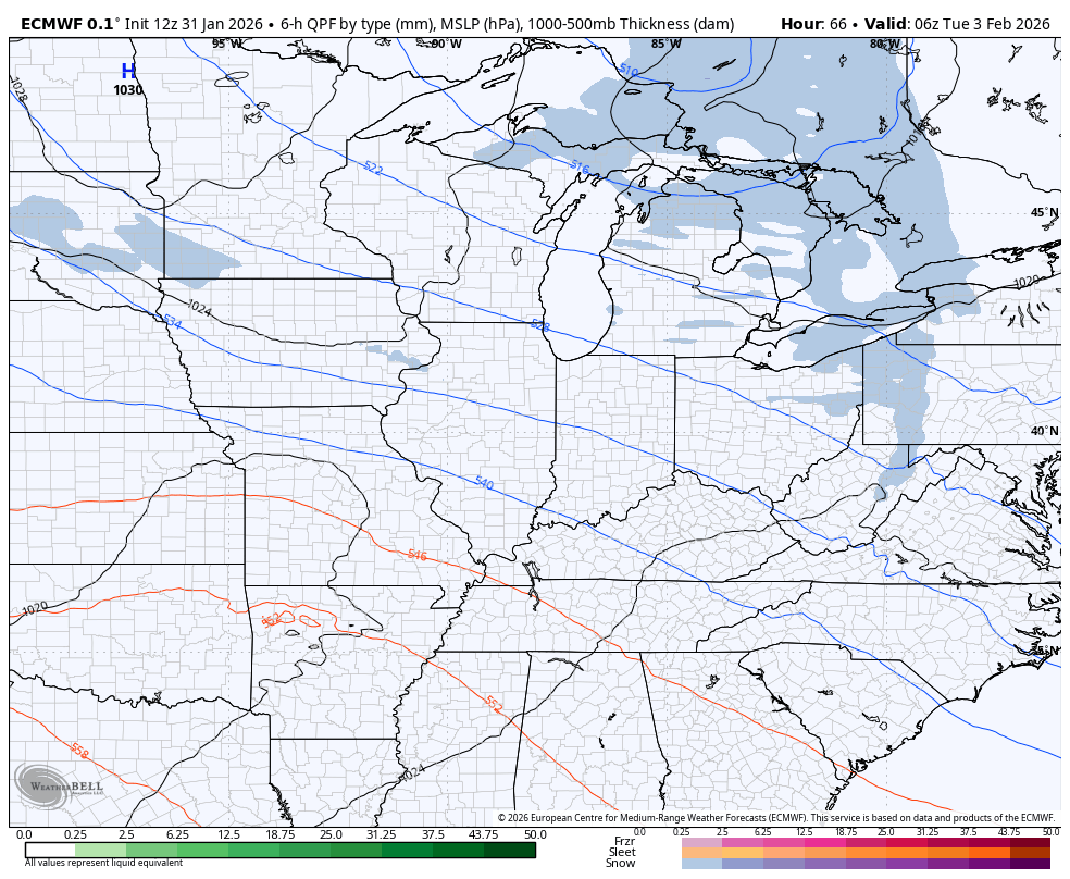
The next system of interest comes our way Tuesday into Wednesday and will bring a swath of accumulating snow with it. Where this sets up is a work in progress with the models suggesting some rain in the south and snow north.
Here’s the GFS…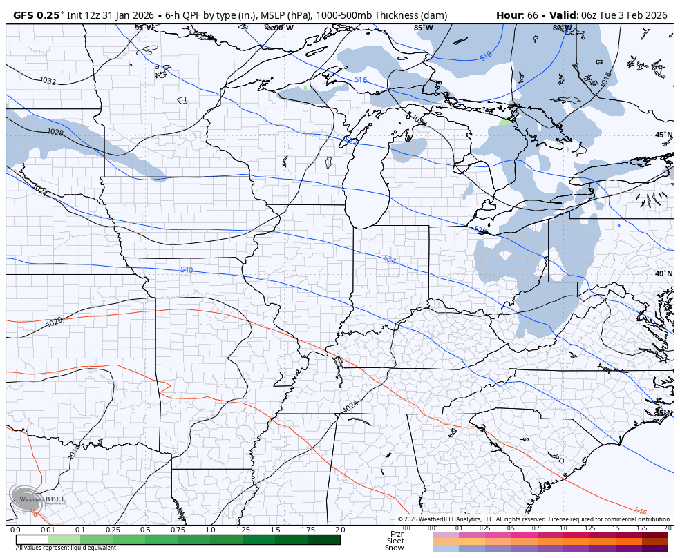
The EURO is similar but fades the snow line a bit farther south…
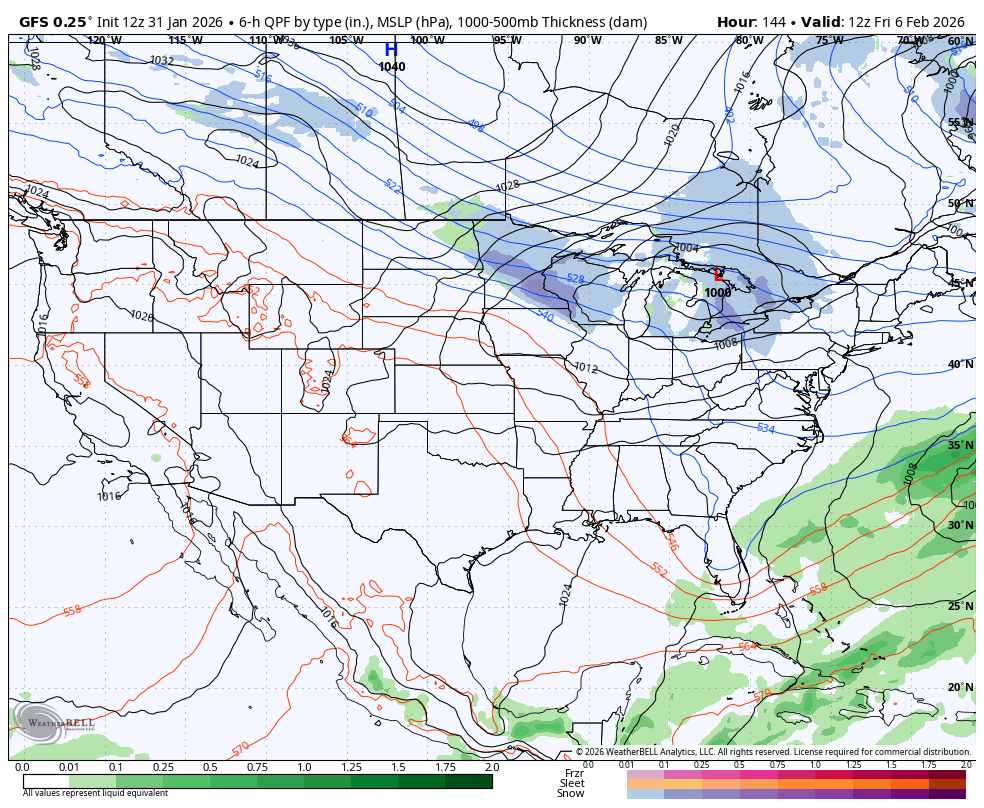
From there, we see another arctic attack arriving by next weekend with the increasing potential for additional systems to follow that up. Operational models go back and forth on when these arrive, but the trend showing on the GFS is pretty obvious…
Updates come later today. I’ll also have updates on my Meteorologist Chris Bailey Facebook Page
Until then, here are your tracking tools for the day…


Make it a great Saturday and take care.

Hopefully WKY gets in on it.