Good evening, everyone. I wanted to drop by for a quick update on this harsh winter’s evening in the closing hours of January. As we start February, our attention quickly turns to a system bringing snow and a mix in here for Tuesday.
Snow showers and bitterly cold temps continue across the state this evening.
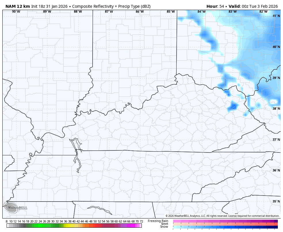
This system is within range of the NAM, which has a nice accumulating snow rolling through…
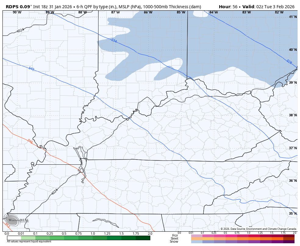
The Short Range Canadian is similar but slower…
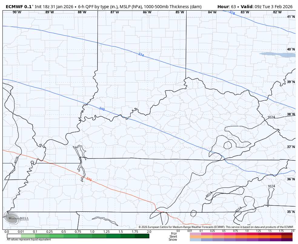
The EURO has a swath of nice accumulations…
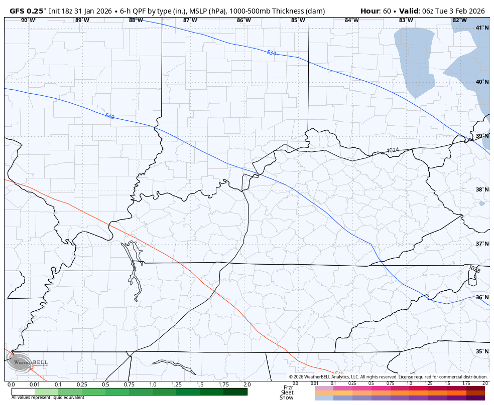
The GFS goes back and forth from south to north with this thing…
This will require a First Call for Snowfall later tonight or Sunday.
Updates come later today. I’ll also have updates on my Meteorologist Chris Bailey Facebook Page
Until then, here are your tracking tools for the day…


Make it a great Saturday and take care.
