Good Saturday, everyone. It’s another frigid day in Kentucky as our brutal stretch of winter weather finally shows signs of ending. Just because we lose the brutal part doesn’t mean we are done with winter, though. Any illusions I have of an early start to spring look pretty sad at the moment.
Snow showers and flurries give way to just flat-out frigid temps. Wind chills will range from -5 to 5 above early on wit high singles and low teens through the day. This animation starts this morning and goes through 7pm…
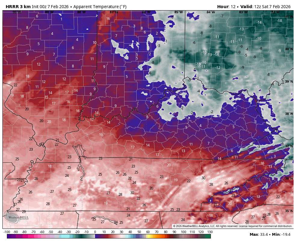
Those frigid wind chills roll on for Sunday…
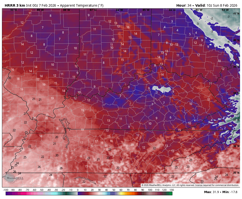
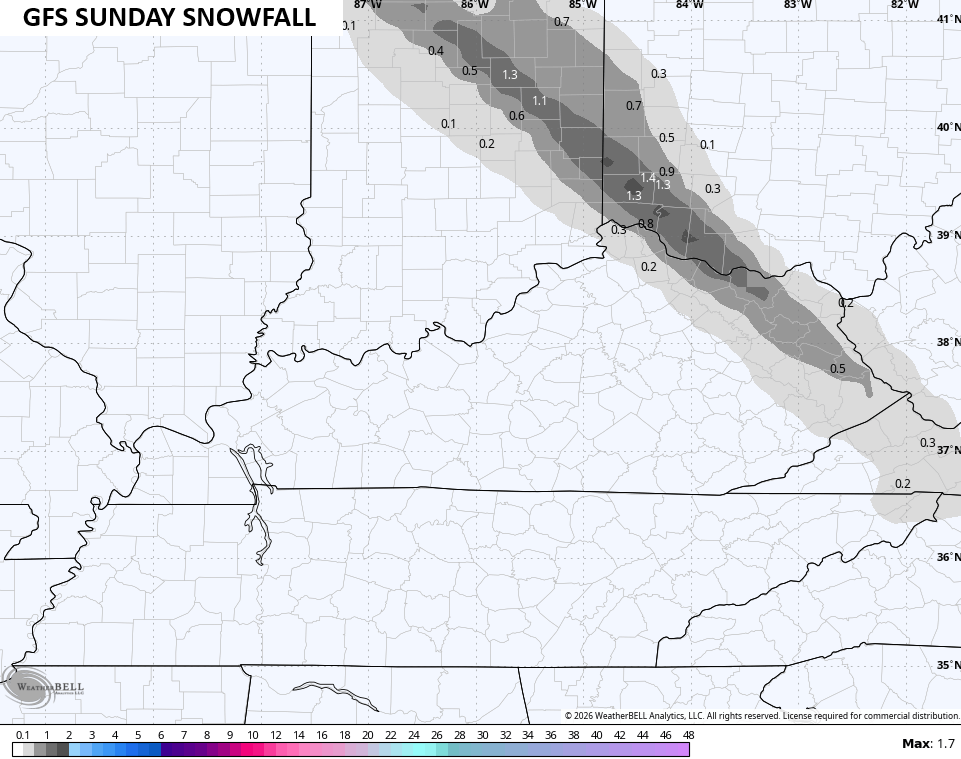
There’s one more band of light snow that zips in from northwest to southeast across the eastern half of Kentucky on Sunday. This may very well put down another light snowfall…
Milder temps surge in for Monday and Tuesday as temps jump into the 50s. That’s ahead of a cold front set to brin rain in here by the middle of the week. That boundary slows down with cold air along and north of it with a few systems likely to develop and roll through here.
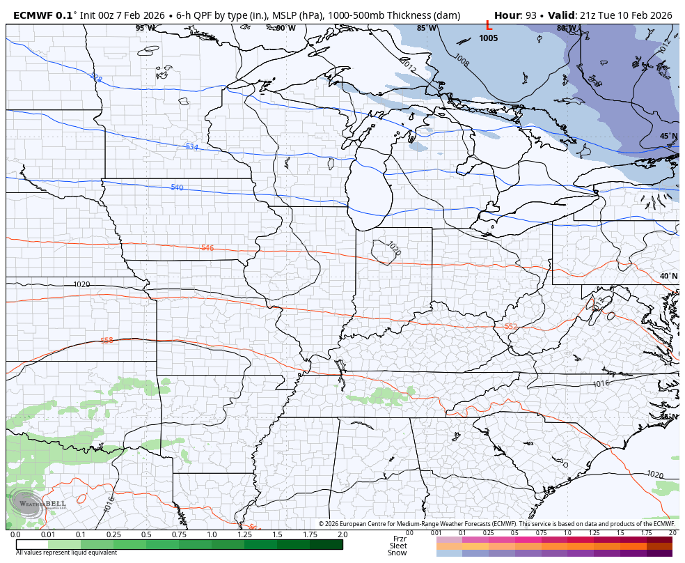
The Canadian is close to some mix by Thursday then goes to more winter weather with the bigger system next weekend…
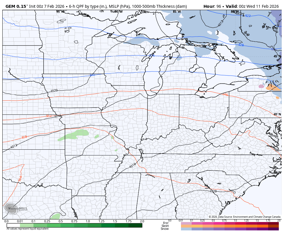
The Euro keeps that weekend system to our south…
Updates come your way later today. I’ll also have updates on my Meteorologist Chris Bailey Facebook Page
Until then, here are your tracking tools for the day…


Make it a sensational Saturday and take care.

Thanks Chris. Seems Like The Winter Weather So Far Has Been More To Our East. Only The Northeast Portions Of The State Have Received Decent Amounts Of Snow. If The Northern Components ( Clipper Systems ) Were To Phase With The Subtropical Jet Stream In The Southern Plains, A Complete Winter Storm Would Form Giving The Entire Region A Snowy Scenario.
Not much more snow to be had.
Jeff, Here’s An Article Saying That The Summer 2026 Will Have The Hottest Temperatures Ever Recorded, Due To Climate Change And The Emergence Of ENSO / El Nino : )
https://www.cbc.ca/news/politics/2026-hottest-climate-change-9.7051757
After 20 days in a row of sub-freezing temperatures since January 17th, the Chicago area finally broke above freezing on Friday, with a high of 38 degrees.
This isn’t even close to a record for the most consecutive days with temperatures failing to reach 32 degrees. During the brutal winter of 1976-77, the Chicago area had 43 days in a row with sub-freezing temps, including the entire month of January.
I will never forget the winter of 1976-77 in the northeast, when I lived in the foothills of Pennsylvania’s Pocono Mountains. Early in 1977 we had back-to-back nor’easters that produced wind gusts over 60 mph, and dropped a combined total of 49 inches of snow. I had one drift in front of my garage door that reached my 2nd story office window. Between that and a couple more storms that year, there was snow on my lawn until the first week of May!
Mike, The Lowest Recorded Temperature In My Nursery Was An Astounding – 35 Degrees In 1977. A Lot Of Plant Loss That Spring. It Was Very Sad.
Joe, That Sounds Like My Kind Of Winter !