Good evening, everyone. Snow showers and a few snow squalls are kicking in across the state as a strong northwest wind kicks in. This brings another round of arctic air in for the weekend before big changes show up next week.
The snow showers and squalls developing this evening have a connection to Lake Michigan and that means we are likely to see a few robust squalls. You can see these on the Hi Res NAM future radar that goes through Saturday morning…
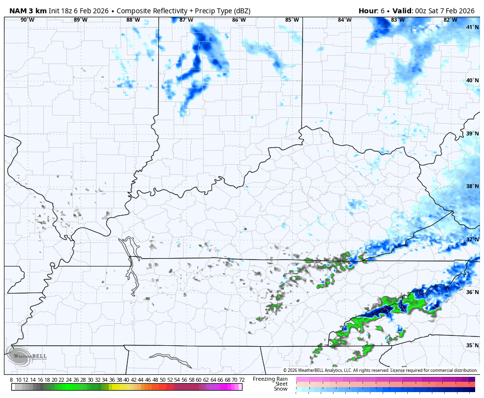
Snow squalls like that will cover a few roads and reduce visibility as they move through, so keep that in mind.
Wind chills head to zero or below later tonight and early Saturday, especially in the north.
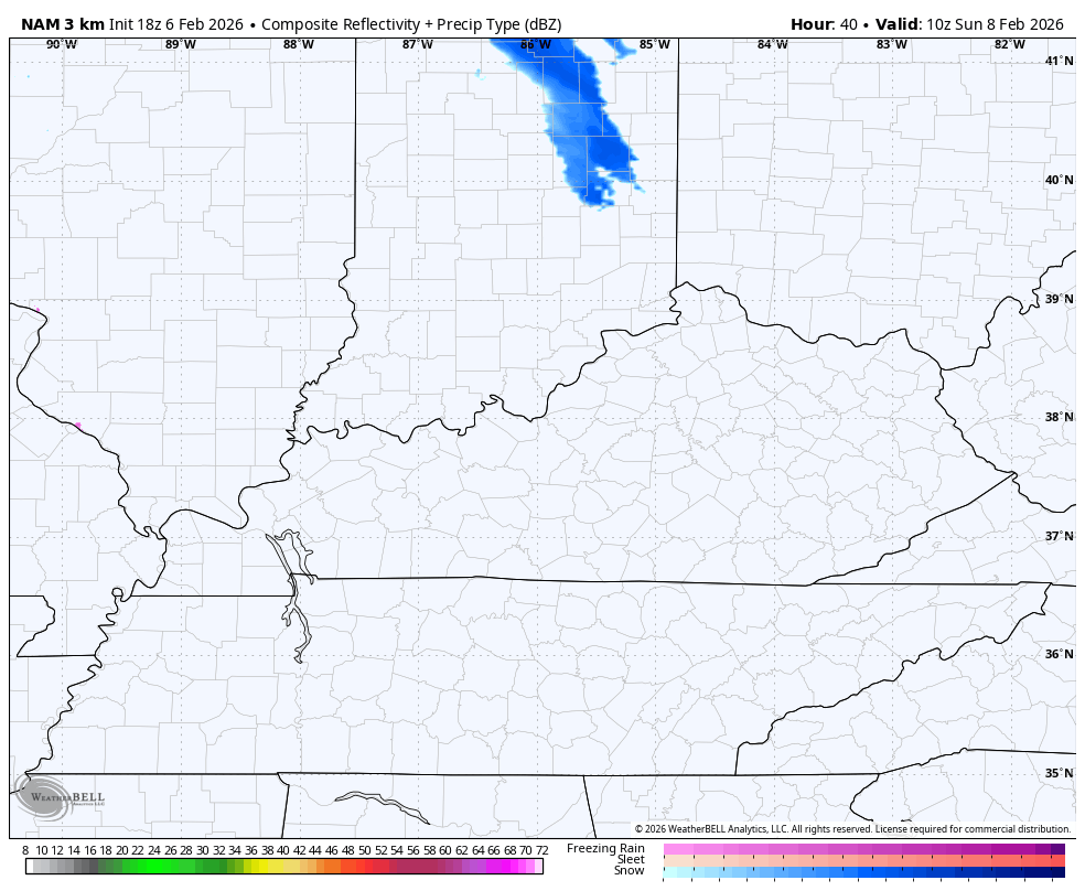
Another quick-hitting light snow fall is possible in the northeast and east on Sunday…
That’s ahead of milder winds kicking in early next week. This kicks off an interesting pattern with a nice battle brewing right on top of our region. That means a cold front sweeps in by the middle of the week with colder air beind it and the potential for more of a winter looking system next weekend.
The models have a long ways to go before figuring this out. Here’s the EURO from Tuesday through next weekend…
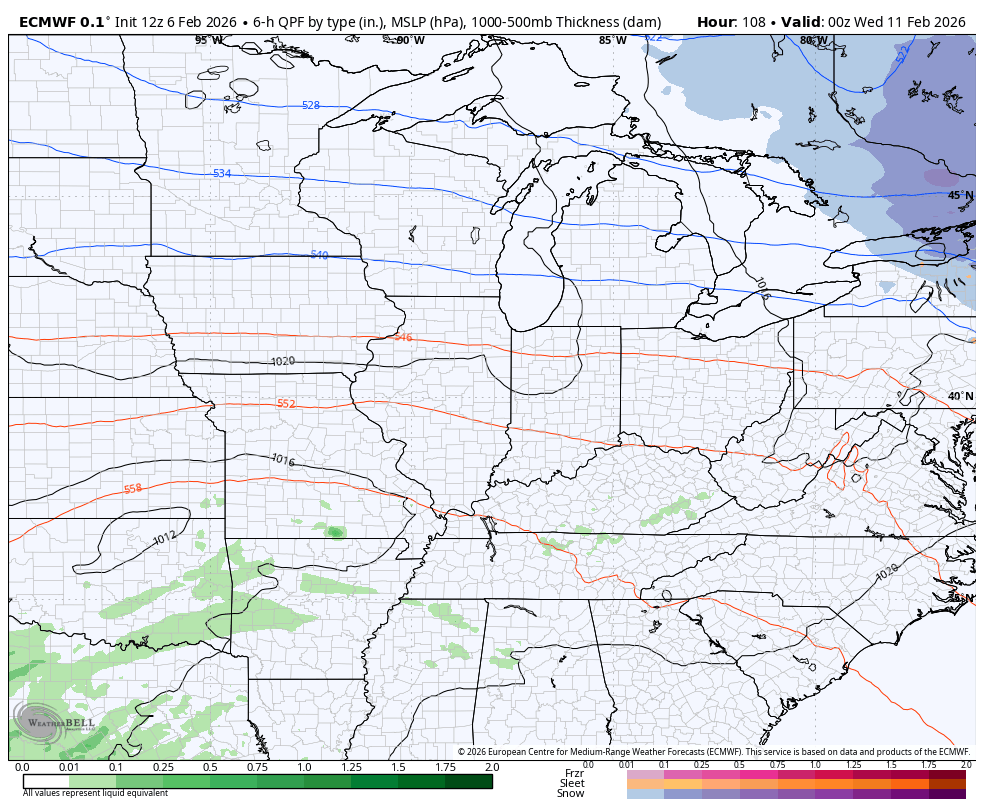
That’s a setup worth watching before we go into a more sustained harsh winter look for the second half of February into early March.
The full update comes your way tonight. I’ll also have updates on my Meteorologist Chris Bailey Facebook Page
Until then, here are your tracking tools for the day…


Make it a fantastic Friday and take care.
