Good evening, everyone. Severe storms show up in a couple of waves later tonight and Wednesday ahead of a potent cold front. That zips in and out with a more important system arriving Sunday and Monday with a true blast of winter behind it.
The first round of strong to severe storms arriving late tonight and early Wednesday with the best chance in central and western parts of the state. The greater risk comes during the afternoon and evening as rounds of severe storms develop and roll through.
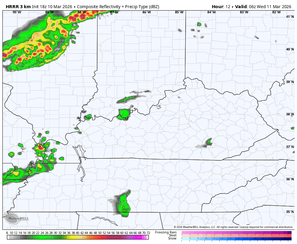
The HRRR Future Radar shows all this very well…
The chance for rotating storms is there. Check out the streaks of rotating storms from that particular HRRR run…

This evening’s severe threat continues to be well to our northwest with a Moderate Risk just south of Chicago…

The SPC keeps our entire region in the Slight Risk for Wednesday…

While damaging winds and large hail are the primary players, the risk for a few tornadoes is there. Here’s a look at the individual risks from the Storm Prediction Center…


The massive temp drop behind that continues to show up Wednesday night into Thursday morning with a MUCH bigger drop coming late Sunday into Monday. That’s a full blown winter look behind that system…

Lows hit the teens with highs that may not get above freezing will be noted.
Hang in there, we are back into the 70s by late next week into the following weekend.
The full update comes your way later tonight. Until then, here are all the storm tracking tools you need for the day…


Current watches

Possible Watch Areas

Make it a terrific Tuesday and take care.
