Good evening, everyone. Strong to severe storms are slowly rumbling out of Kentucky with cold winds taking control. These winds usher in a dramatic drop in temperatures with the chance for some flakes early Thursday.
A much more pronounced system follows this up late in the weekend.
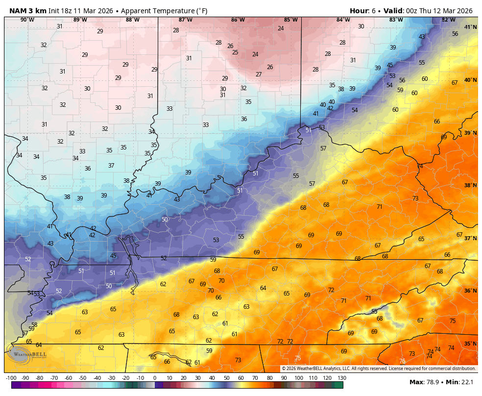
Winds today were the big player with gusts topping 50mph in many areas. Those winds tonight are much colder, making Thursday morning feel some 60 degrees colder than todays upper 70s and low 80s.
Wind chills by tomorrow morning reach the low and mid 20s in some areas…
The cold may very well catch the back edge of the rain in the southeast, flipping it over to some snow early Thursday. Some of the models are trying to turn the mountains white…
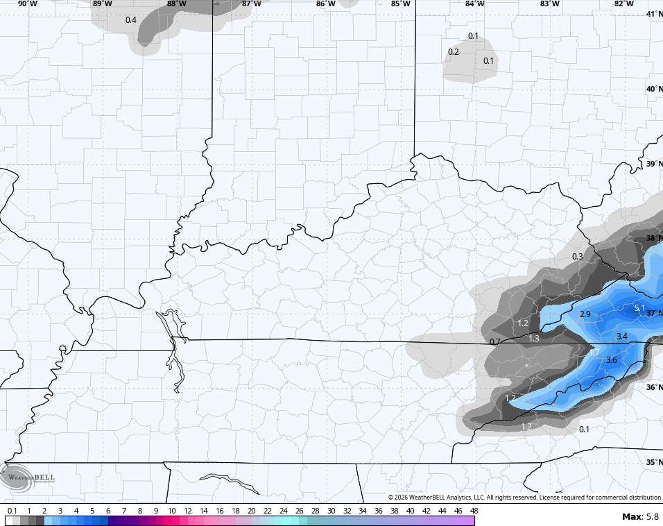
Yes, those are the same mountains that were in the 80s this afternoon and may wake up to some slushy snows. Wow.
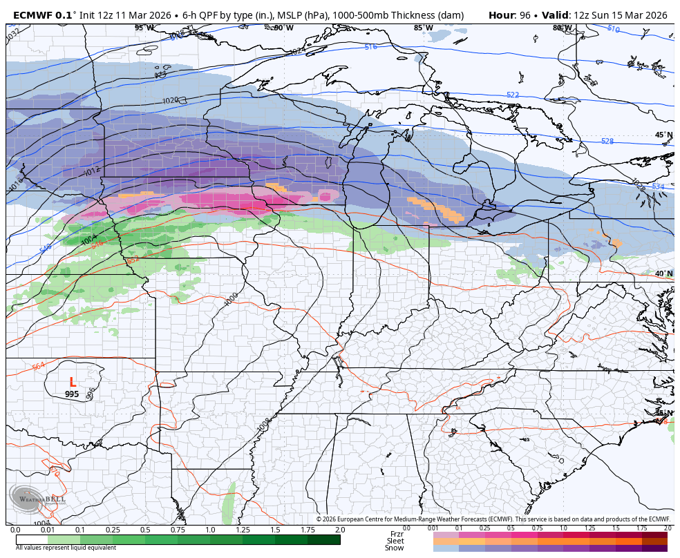
The system coming Sunday and Monday says hold my beer. The air behind this looks even colder with strong storms to snow showers a good bet. Here’s the EURO…
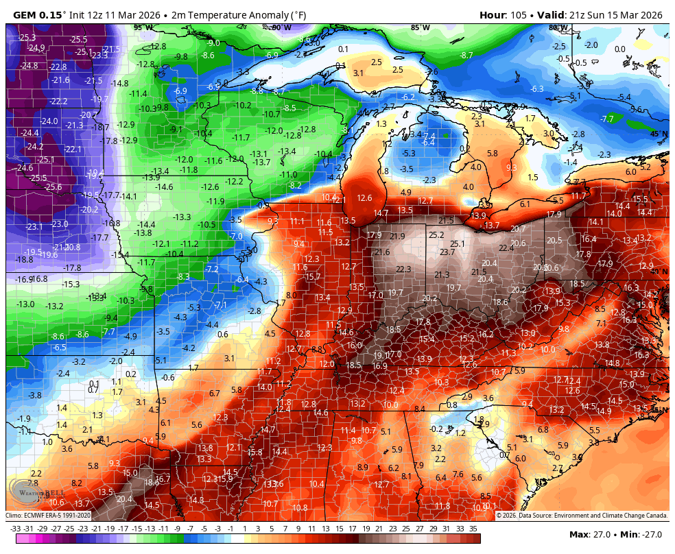
The Canadian is similar…
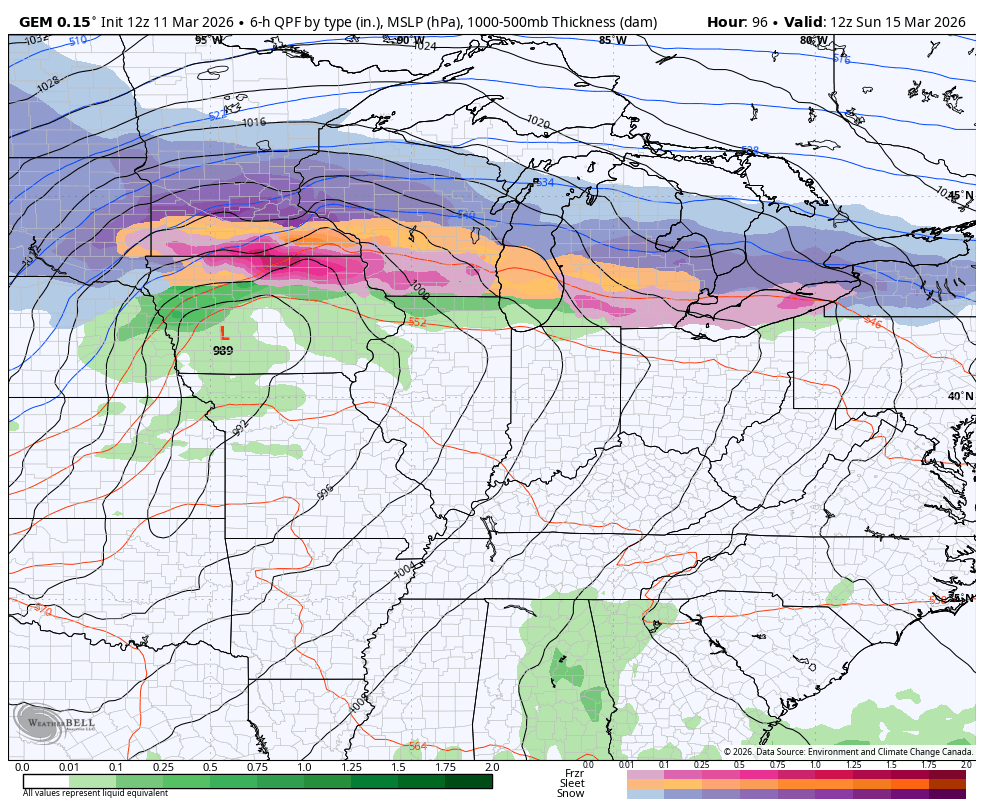
Temps in the 70s Sunday drop into the 20s Sunday night and may not get above freezing on Monday. Bring on the Barney colors…
Wind chills can hit the singles by Monday night. Ugh.
I’ll be back with the full update later tonight. Until then, here are the tracking tools for the rest of the evening…


Current watches

Possible Watch Areas

Make it a wonderful Wednesday and take care.

The winter potential is way overblown.
Of course not we entering our annual dogwood chill and will have more cold shots
The amount of rain we didn’t receive is astounding.