Good evening, everyone. Snow and wicked wind chills are rocking the Bluegrass state less than 24 hours after spring severe thunderstorms rocked the state. The back and forth pattern looks like it will continue for a while.
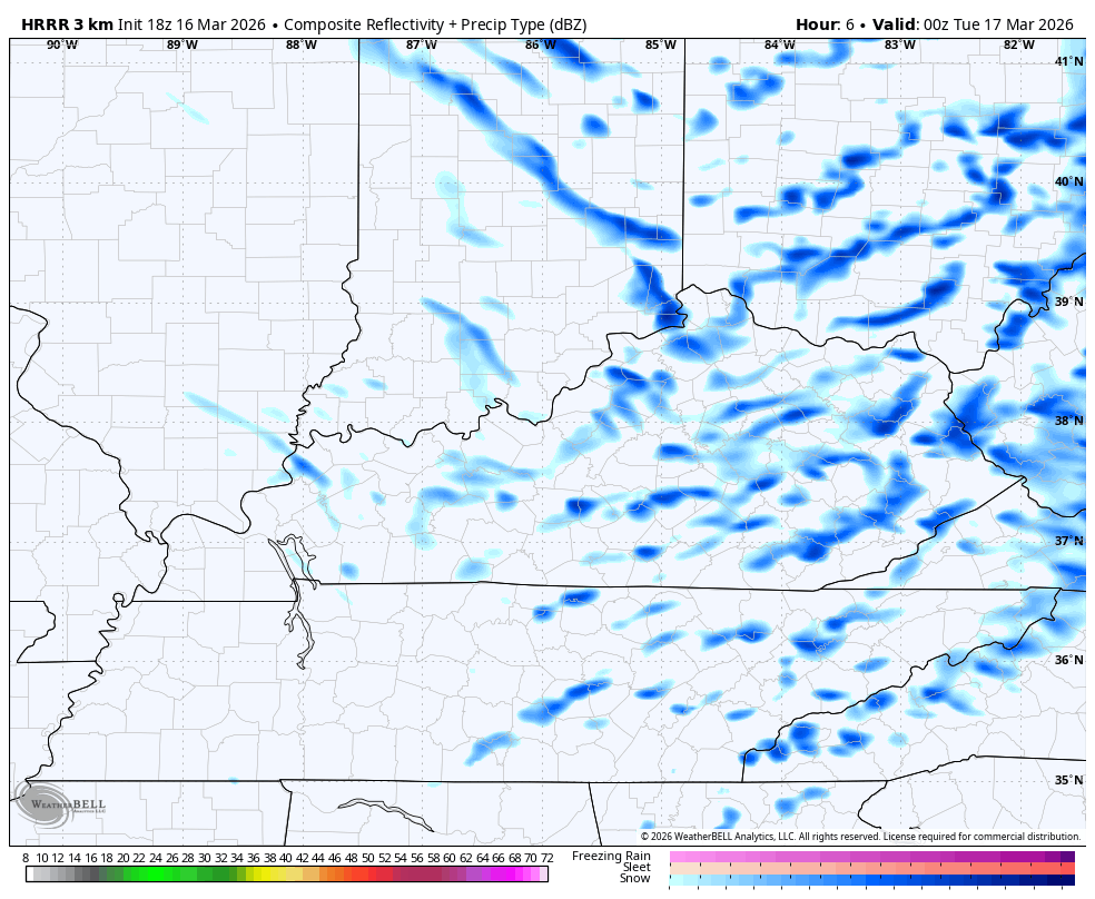
The enhanced band of snow I talked about impacting eastern Kentucky did its thing, dropping around 3″ in some areas. Snow showers and squalls continue for the rest of the state with light accumulations and whiteout conditions.
With more of these through tonight, slick roads will be likely. The future radar from the HRRR shows some of this lingering into Tuesday…
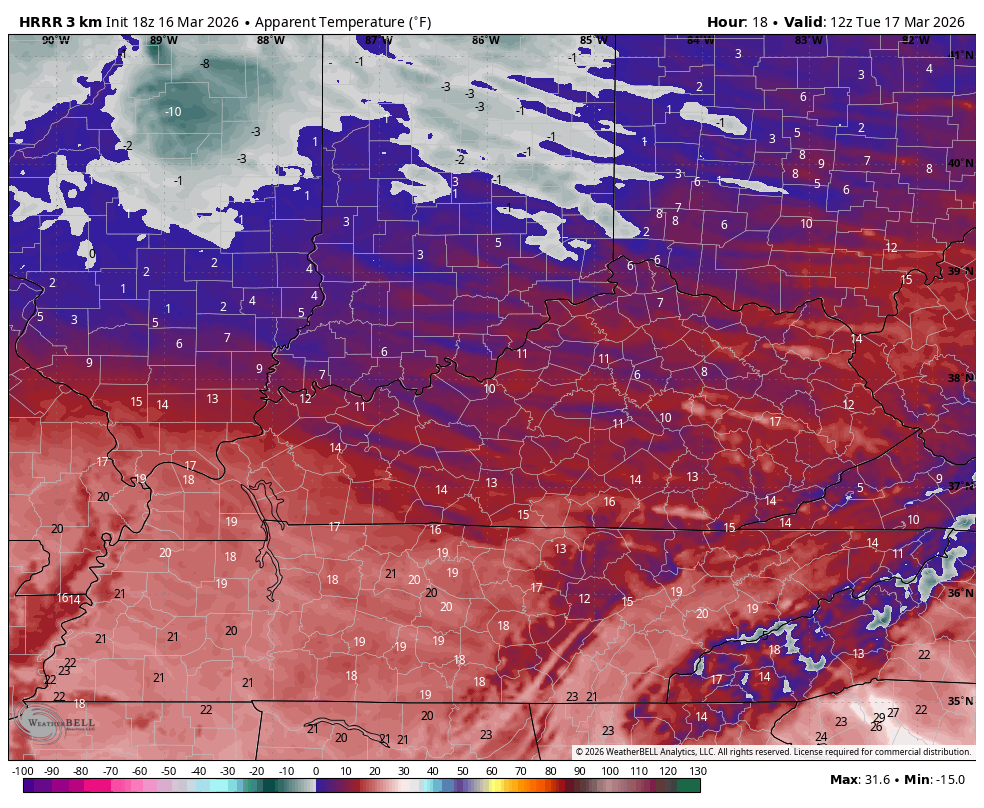
Wind chills are stupid cold for this time of the year and will hit the singles tonight…
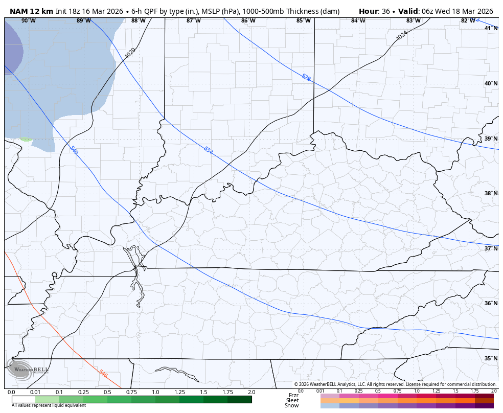
The next system moves in here early Wednesday with a touch of rain and snow…
That’s ahead of a milder flow that boosts temps toward the 80s this weekend…
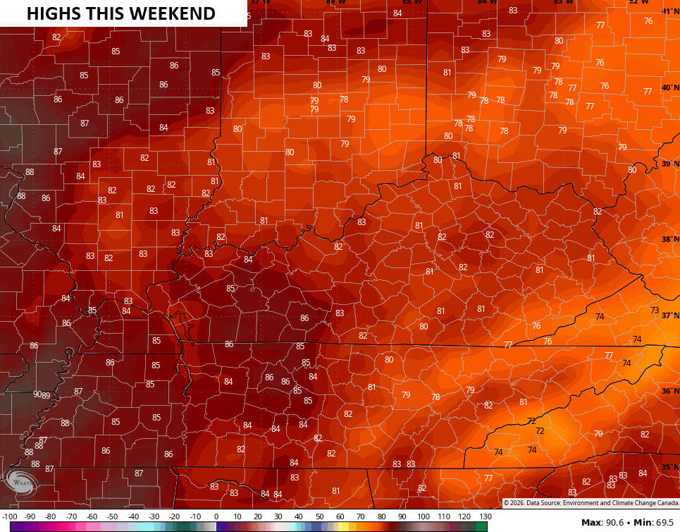
That won’t last as another big temp drop moves in by early next week.
I leave you with your tracking tools for the rest of the evening…


Enjoy the evening and take care.
