Good evening, everyone. My time is rather limited, but I wanted to drop by for a quick update on the pattern ahead. We are slowly coming out of the deep freeze over the next few days before temps really take off this weekend.
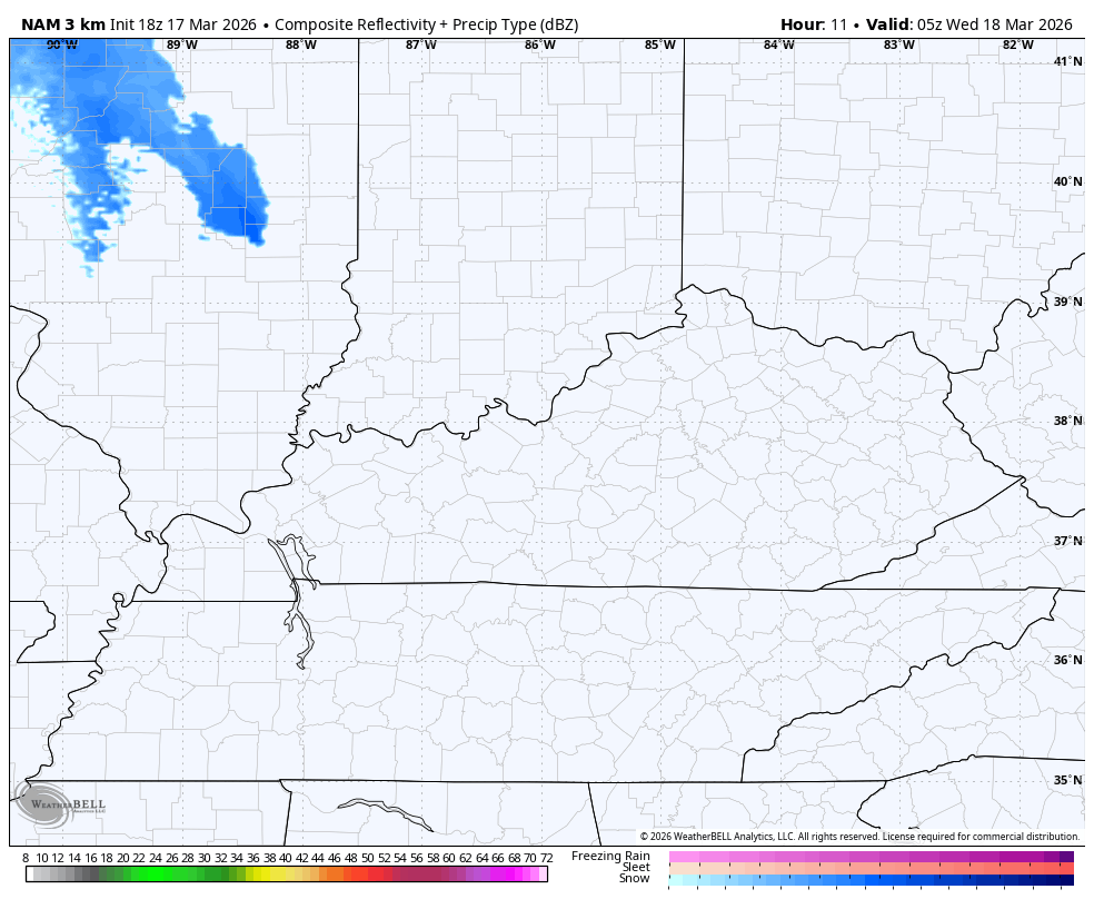
There is a quick-hitting rain or snow shower maker on the leading edge of milder air on Wednesday…
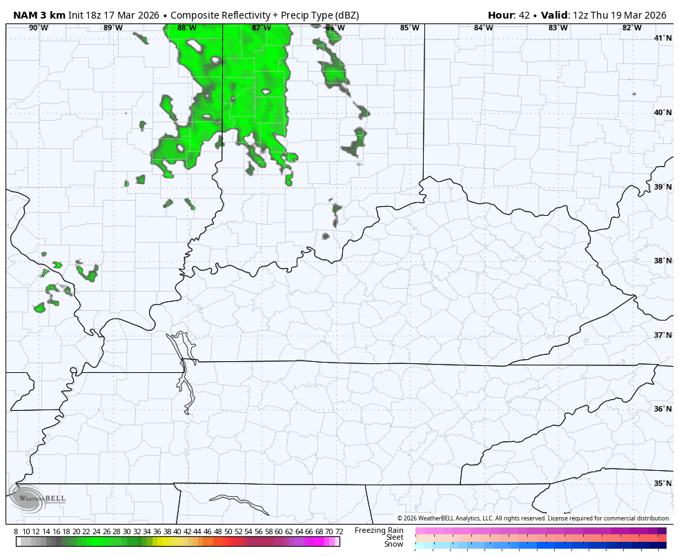
One more shower or thunderstorm maker then drops in from the northwest into central and eastern Kentucky for Thursday…
Temps from there rise to 70 in the west and near 60 in the east for Thursday. 70 or better by Friday with 75-80 possible this weekend.
A cold front drops in with some showers and storms later Sunday night and Monday. This brings some showers and storms with it and also bring a drop in temps into early next week. That drop should be followed by a more prolonged spell of warmer temps.
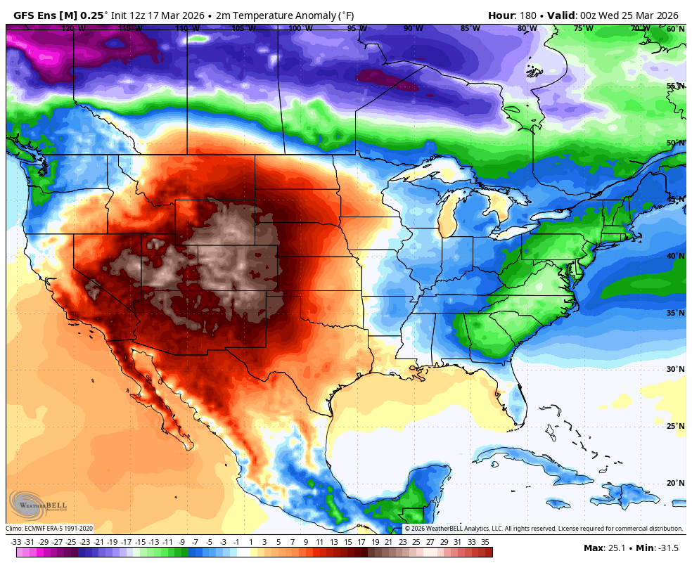
The GFS Ensembles see that in the closing days of the month…
Enjoy the evening and take care.
