Good Wednesday to one and all. We continue to hang on to a colder than normal pattern, but that’s about to change later this week. This is when another spring surge zips in here, but how long it sticks around is in question.
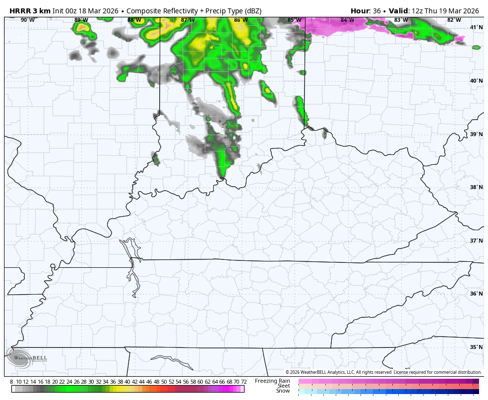
A quick-hitting band of snow and rain showers will be noted today, especially across central Kentucky. There’s the chance for a small accumulation with this, but temps quickly jump into the 40s. Areas across Western Kentucky will jump into the 50s with increasing amounts of sunshine.
As our warm front continues to slowly push to the north and east on Thursday, another round of showers with some thunder show up. These dive in from northwest to southeast across central and eastern Kentucky but are pretty scattered…
Temps will generally range from the mid 50s north and east to the mid and upper 60s in the west.
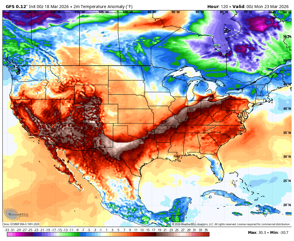
Temps on Friday jump up into the upper 60s and low 70s across the state. The 70s show up for the entire state on Saturday. Sunday finds temps surging into the 75-80 degree range for many with the chance to go above and beyond with enough sun.
This will be followed up by a cold front dropping in here Sunday night and Monday, bringing temps down a bit and some showers and storms…
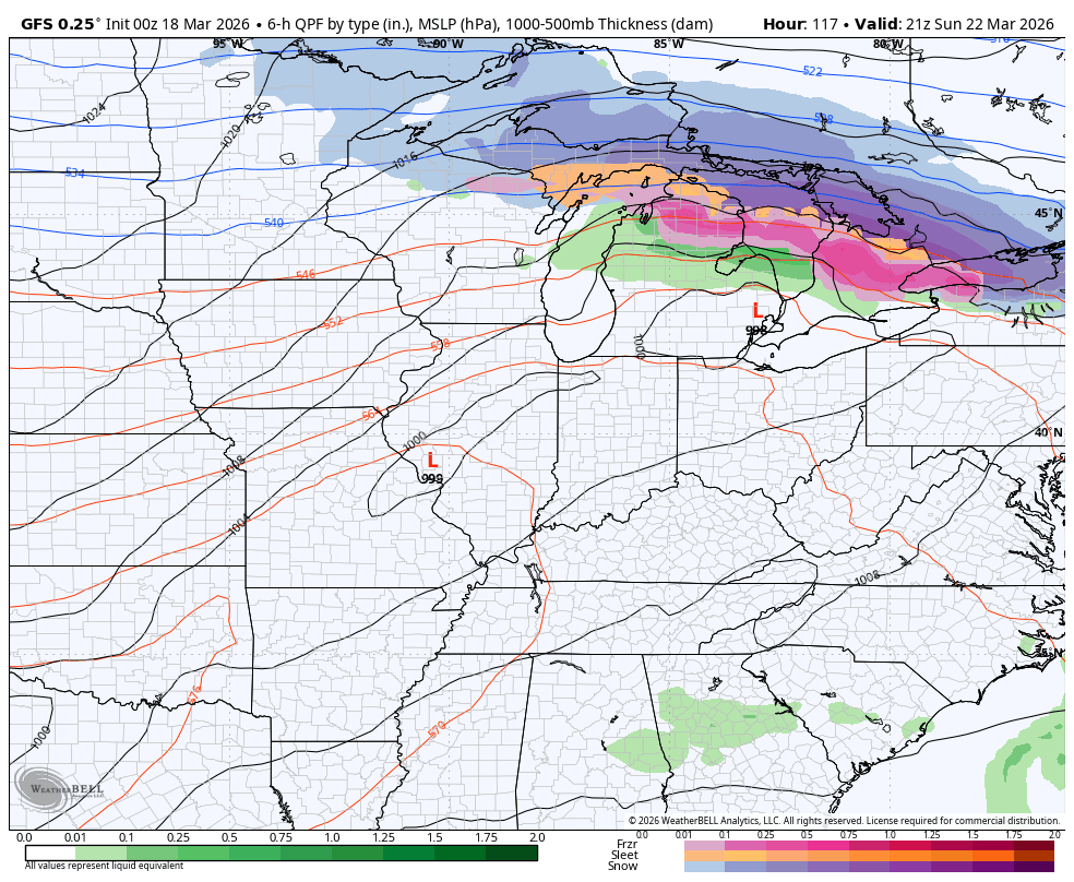
The air behind that comes back down to below normal with the GFS really trying to skew things colder than normal through the end of March…
I’ll have another update later today. Until then, let’s track a little rain and snow across the state today…


Make it a wonderful Wednesday and take care.

The GFS is delusional.