Good Tuesday, everyone. Rain and thunderstorms overspread the state from west to east today, bringing some much needed rains to the region. This will be followed by another cool blast before the week is over and is all part of a cooler and wetter overall pattern.
Today’s rain and storms comes along a weak front that’s dropping in with a wave or two of low pressure rolling along it. This enhances the rain tonight into early Wednesday with another weak wave bringing a few showers, especially to the southeast, on Thursday.
Here’s the GFS from 1pm today through 11pm Thursday…
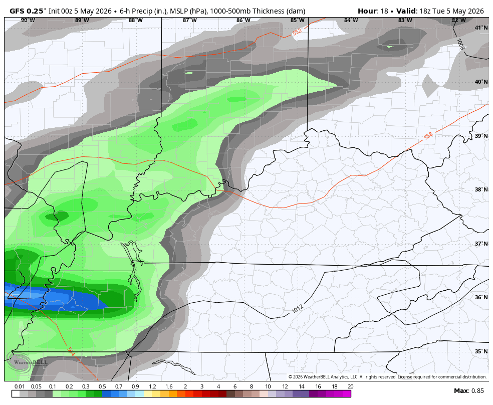
The severe threat with all this is to our southwest today…

Very cool air comes in behind the front on Wednesday with temps dropping into the 50s. Temps on Thursday range from the upper 50s to low 60s on a chilly wind.
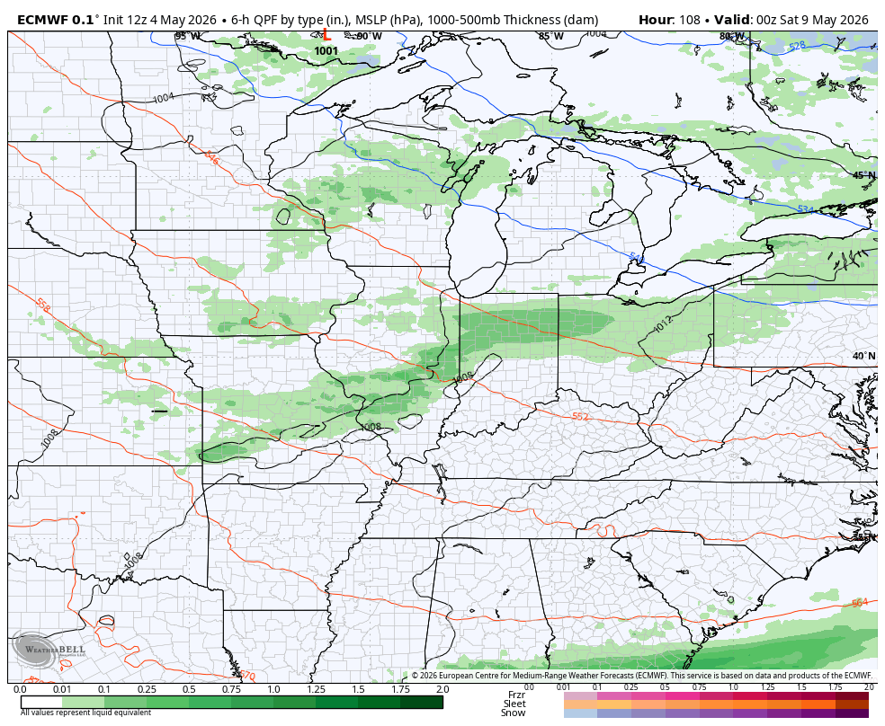
Another front drops in here with few showers and storms Friday night and early Saturday. That will be followed by another system with a few more showers and storms for Mother’s Day and Friday with chilly air dropping back in…
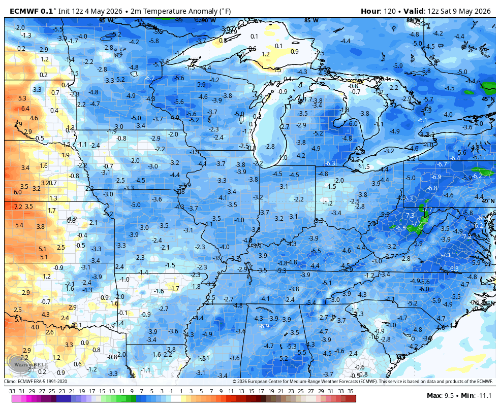
That blast has a little Barney with it early next week with the EURO trying to Barney it up again around the middle of the month…
I’ll have the latest on WKYT-TV and WKYT+. Until then, I leave you with the tools you need to track the increase in rain and storms through the region…


Current watches

Possible Watch Areas

Make it a terrific Tuesday and take care.
