Good Monday to one and all. We are rolling into a new week with a few cold fronts rolling across the Commonwealth. These fronts will spit out a few showers and storms and knock the temps down again, but the signal of the overall pattern is looking warmer.
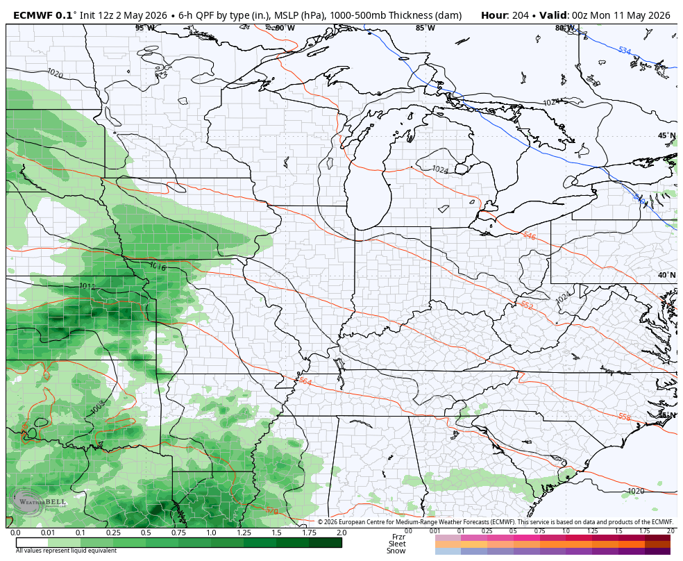
The front moving out of the state this morning takes any remaining shower or thunderstorm with it. The push of chill behind this one isn’t as pronounced as it had looked a few days ago. Highs today range from the middle 60s to low 70s.
The chance for patchy frost is there tonight across parts of central and eastern Kentucky as temps reach the upper 30s in some areas.
Pleasant temps in the 70s show up for Tuesday and early Wednesday ahead of another cold front dropping in with some showers and storms…
This front unleashes another round of below normal temperatures from late Wednesday into early Friday…
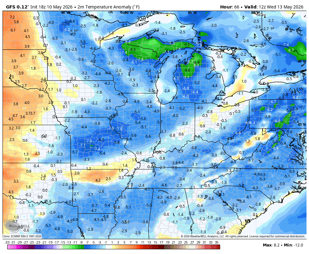
A little bit of Barney showing up could mean another patchy frost threat for Thursday morning.
Temps will turn around quickly on Friday into the weekend with readings that can hit deep into the 80s. The GFS Ensembles continue to show this surge kicking off a more prolonged surge of above normal temps Memorial Day Weekend…
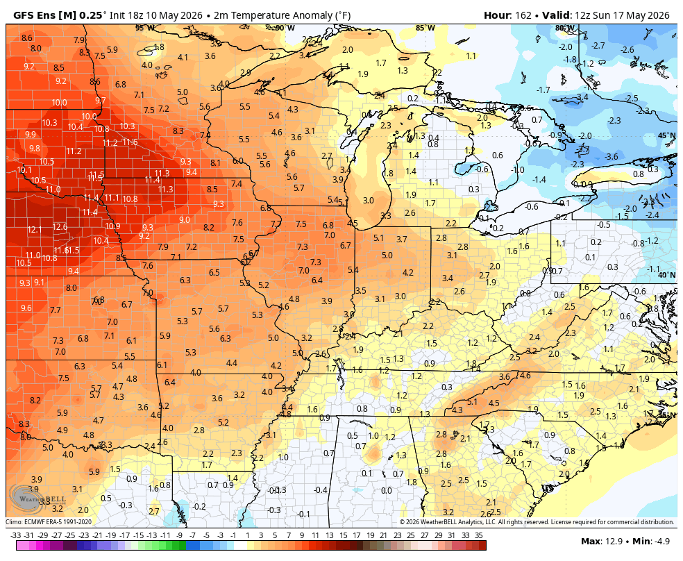
The EURO Ensembles aren’t as convinced of that as they see the potential for a few more fronts digging into the region…
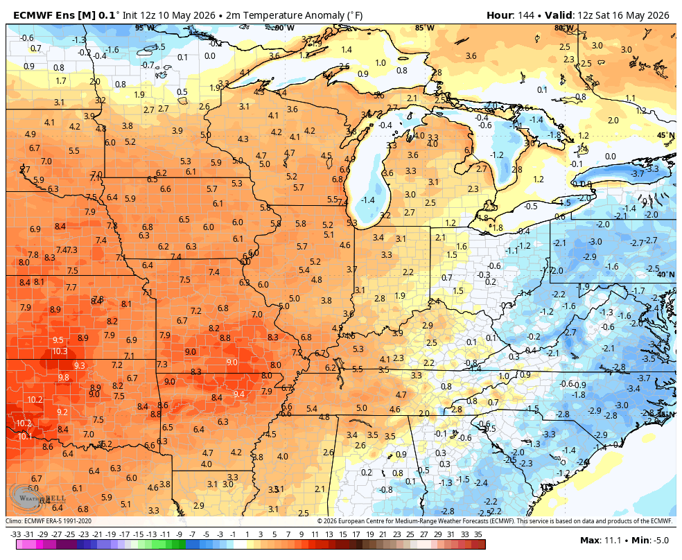
I suspect the truth is closer to the EURO Ensembles as I expect the thunderstorm pattern to finally rev up. Our spring severe weather season has been incredibly quiet across Kentucky and will remain so through this week.
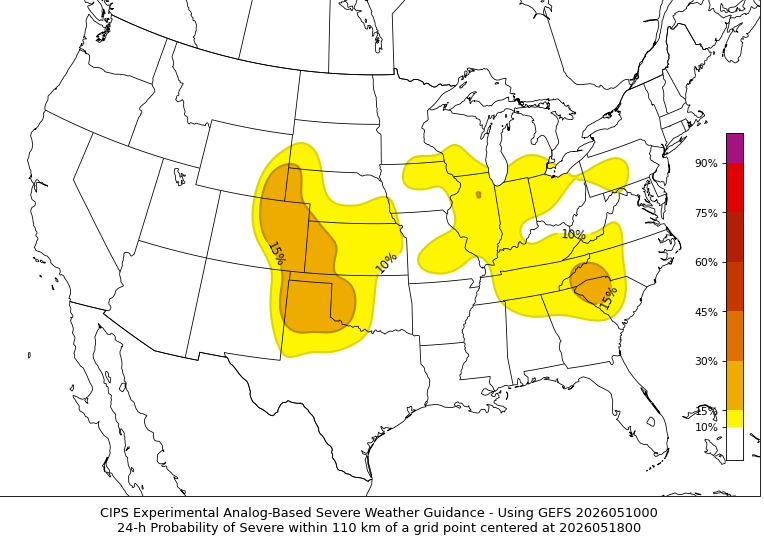
The analog based severe weather data is picking up on some potential starting later this weekend…
I leave you with your Kentucky Weather Radars to track the early day showers and storms out of the state…

Make it a magnificent Monday and take care.

The EURO ensembles are not the truth.