Good Friday, everyone. We have the first of two weekend cold fronts rolling across the state today, bringing a few showers and storms along for the ride. The next front arriving Saturday night and Sunday has more storms with it and ushers in a much cooler than normal pattern.
Today starts with a cluster of storms weakening as it drops into western and central Kentucky. As this fades away, winds are gusty as the front settles in from the northwest. Temps won’t be nearly as toasty as the past few days as we fire up a few more storms in the east and, especially, southeast.
This is where a few strong to severe storms may show up, but the greatest potential is to our east. Here’s today’s Severe Weather Outlook from the Storm Prediction Center…

Comfy air sweeps in tonight into Saturday with lows reaching the upper 50s and low 60s. Highs are in the low to mid 80s with mainly dry skies.
The next front drops in here on Saturday night and Sunday with a few waves of storms along and ahead of it. The animation shows an impressive round of storms moving across Kentucky Saturday night with a few more following this up for the rest of the day on Sunday…
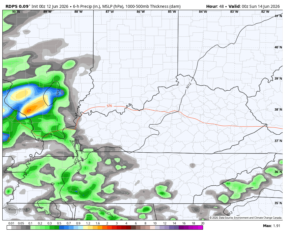
The Storm Prediction Center has the far western part of Kentucky in the low-end risk for a few severe storms late Saturday…

This low-end threat continues for Sunday…

Much cooler air arrives for Monday and Tuesday with highs mainly in the 70s and lows that can drop into the 50s.
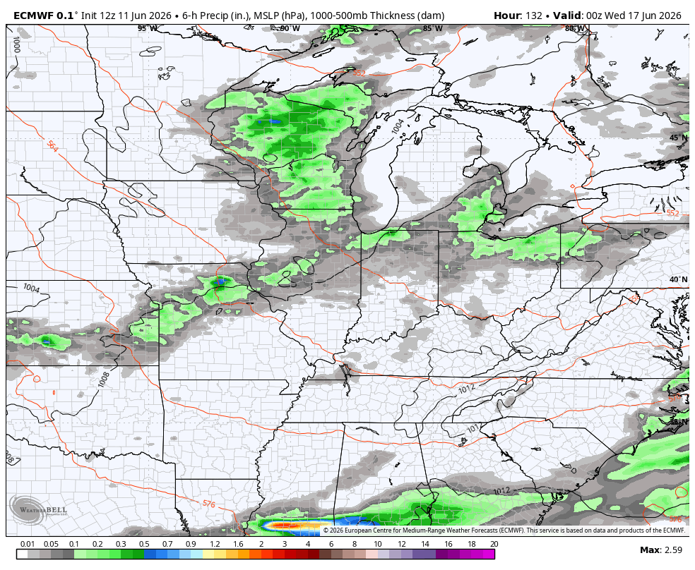
There’s the chance for a shower or isolated storms on Tuesday with several more cold fronts set to sweep across the state after that. This animation from the EURO shows some healthy fronts with healthy storms ahead of them from the middle of next week through June 26th…
The EURO Weeklies also like the active look through much of July as they continue to show above normal rainfall…
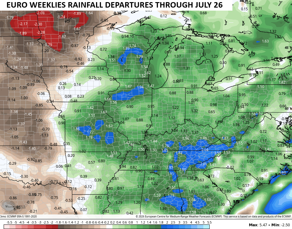
Again, that’s the average from 101 members that make up the Euro Weeklies.
As always, I leave you with your daily heavy rain and storm tracking tools…


Current watches

Possible Watch Areas

Make it a fantastic Friday and take care.
