Good Thursday to one and all. Rounds of strong to severe storms continue to rumble across Kentucky today as a potent storm system works through the Ohio Valley. The severe threat is also accompanied by the potential for flash flooding.
A round of severe weather is out there early today across Kentucky with a brief break by late morning. That won’t last long as additional waves of strong to severe storms go up, especially south of Interstate 64. Damaging winds, large hail and isolated tornadoes are all possible with today’s storms.
Here’s today’s Severe Weather Outlook from the Storm Prediction Center…

The tornado risk is lower with the afternoon action compared to the initial round of storms this morning…

Damaging winds and some large hail are the main players…


In addition to the severe weather threat, flash flooding is a significant concern today. Initially, the flash flood threat is greatest across the northern half of the state this morning. That threat expands to include all of central and eastern Kentucky through the afternoon and evening. I’m particularly concerned with flash flooding in the south and southeast later today.
Cooler and pleasant air sweeps in behind all this into Friday and Saturday as temps remain below normal.
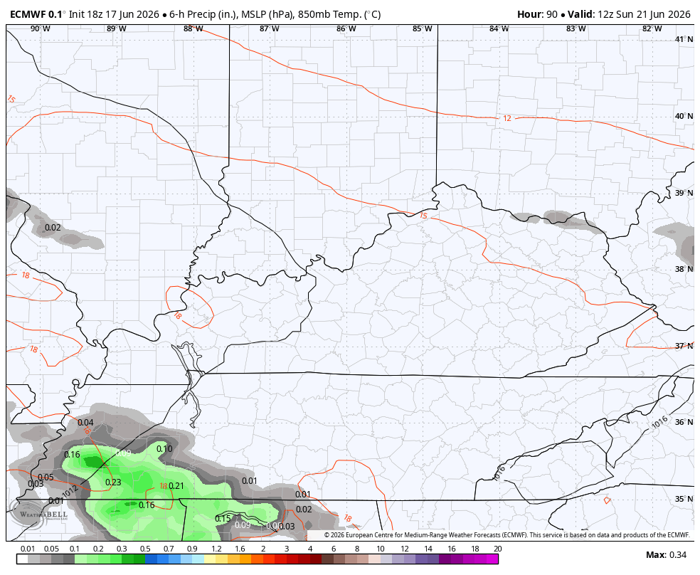
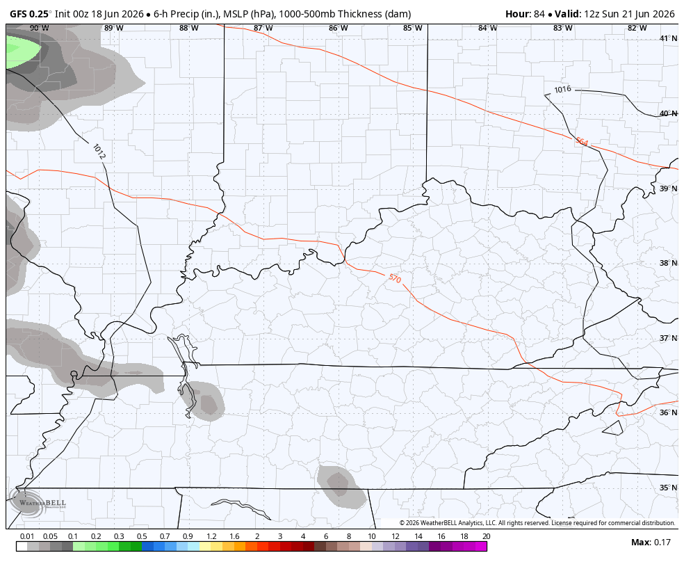
More storms rumble back in later Sunday into Monday. The EURO and GFS see this well…
EURO
GFS
There’s the chance that system turns into a slower-moving upper low that hangs around a little longer.
As always, I leave you with your daily tracking toys…


Current watches

Possible Watch Areas

Make it a great Thursday and take care.

Bring on the heat.
Ok so that was a really good storm. I’m guessing at LEAST 2 inches of rain.
Thanks Chris’ We miss all the good soaking rains by just a few miles to the north. Glad no one received the severe weather ( tornadoes. )
A link as to why central and southern Kentucky has miss most of the good soaking rains this Spring and early Summer : )
https://chatgpt.com/c/6a33eb1d-2d94-83ea-9b09-ddf95f049c80