Good Saturday to one and all. Rounds of storms continue to blow across the Bluegrass state, bringing the potential for damaging winds and flooding rains. This setup continues into early Sunday before we focus on heat and humidity.
Today’s storms continue to come at us in waves with several hours of dry weather in between. Regardless, the main threat from the storms continues to be torrential rains with some areas picking up several inches of rain in a short amount of time.
Much of the region continues to be under a Flood Watch today…

Just like Friday, a few of the storms may be strong or severe. Damaging wind is the primary threat with some pockets of hail. Today’s Severe Weather Outlook from the Storm Prediction Center looks like this…

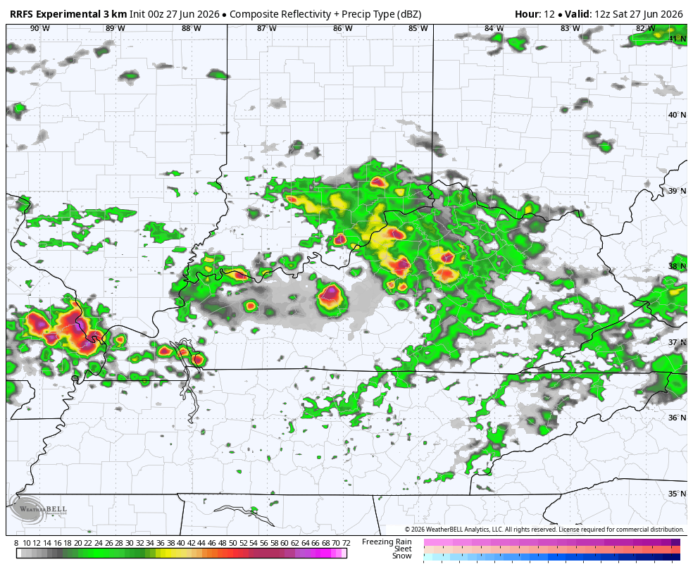
Additional showers and storms will likely rumble across the state tonight into part of Sunday. The future radar from the RRFS shows what’s out there today through Sunday…
Most of those Sunday storms should stay below severe limits. Here’s the Sunday Severe Weather Outlook…

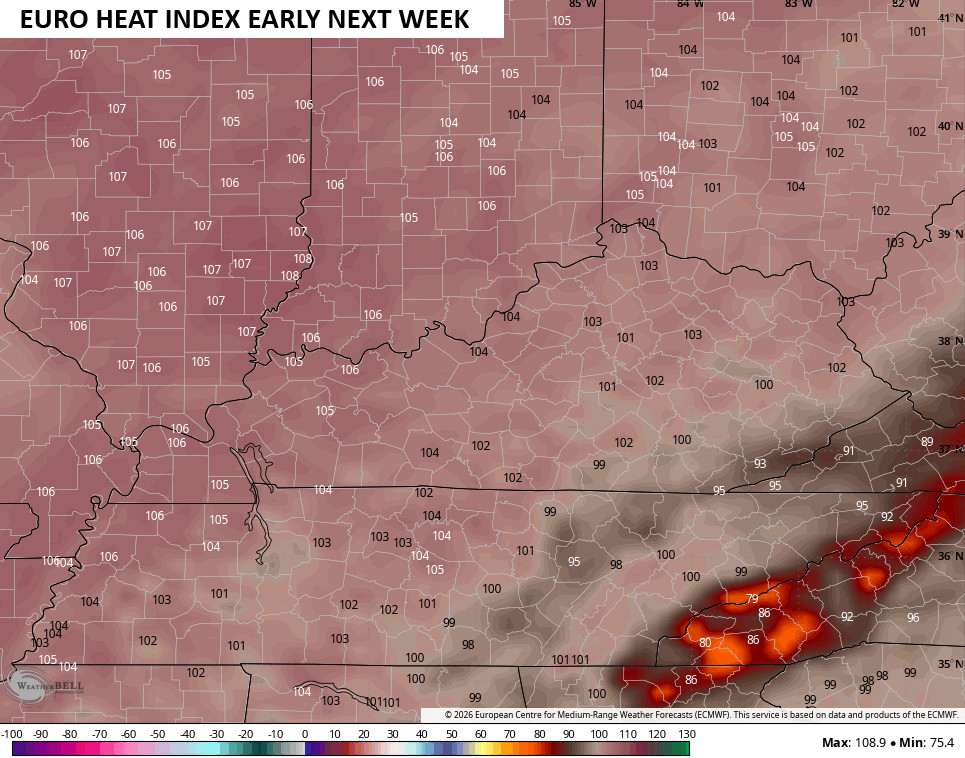
Heat and humidity build into the region from the west late Sunday into Monday. The wet ground and green, lush vegetation will help temper the temperatures a bit with highs in the 90-95 degree range, but the humidity will be a different story.
The air will be about as humid and nasty as you can get and that boosts the heat index to 100 or better…
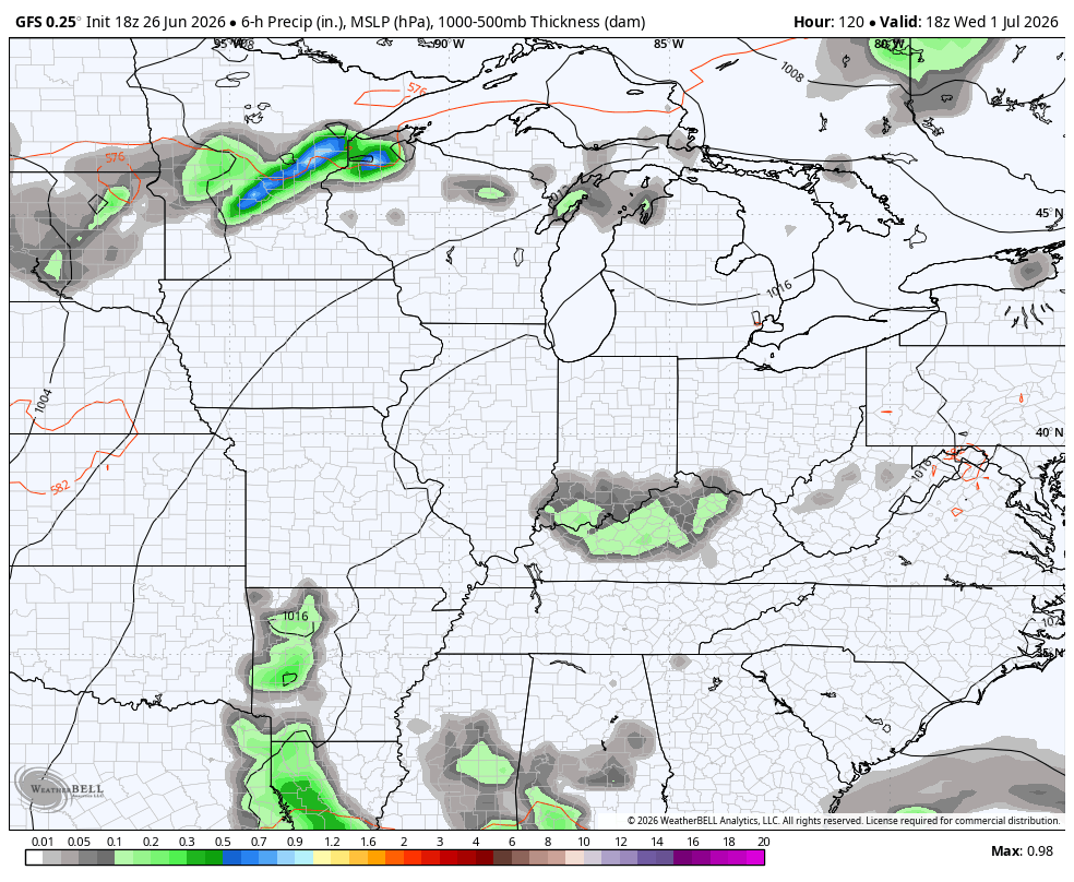
That trend lasts through the week as some storms start to go back up ahead of an eventual dip in the jet stream over the 4th of July weekend…
As always, I leave you with your daily tracking toys…


Current watches

Possible Watch Areas

Make it a great Saturday and take care.
