Good Tuesday to one and all. Tropical heat and humidity continue to flex on our part of the world, with the wet ground fighting off the absolute worst of the heat. As the we inch closer to the 4th of July holiday weekend, rounds of storms look to fire back up into much of our region.
The wet ground and green, lush vegetation did some work on the Monday temps, keeping them below what forecast models were seeing. The EURO seemed to have a better handle than the American models and continues to run lower than the flamethrowing models from here at hime.
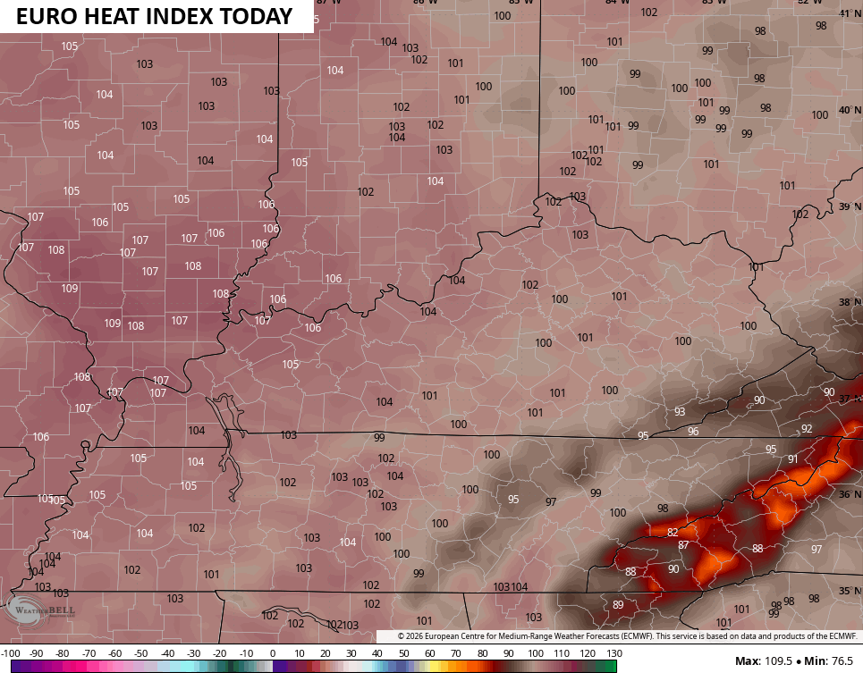
Still, heat index numbers from 100-105 are likely for most areas on occasion today through Thursday. Once again, the highest numbers will be across the west with lower numbers in the east.
Here’s today’s Heat Index from the EURO…
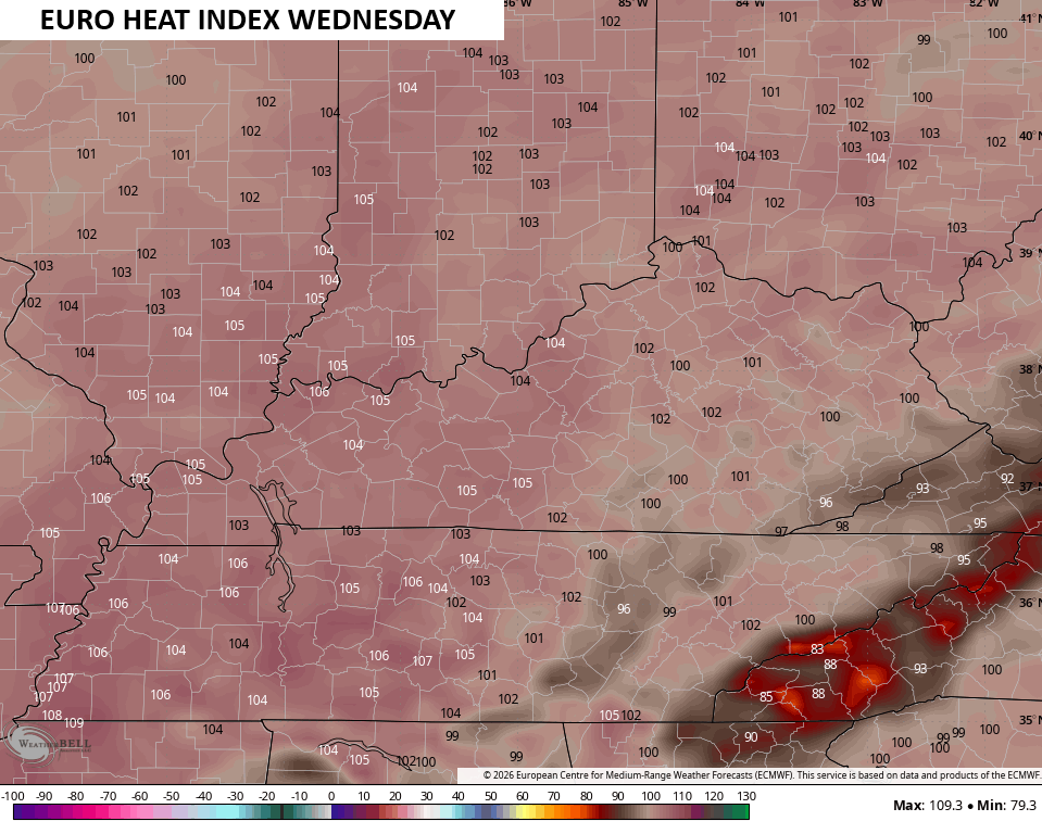
Similar numbers show up on Wednesday…
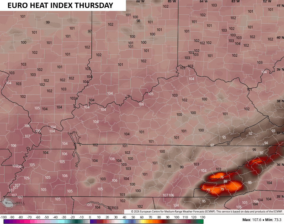
Thursday goes up by just a smidge on this run…
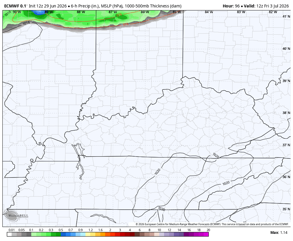
The chance is there for some isolated showers and storms Wednesday into Thursday.
This is ahead of a pattern featuring more in the way of showers and storms for the 4th of July weekend. You can see these well on this run of the EURO that runs from Friday afternoon through Sunday evening…
These storms will have a lot of moisture to work with, meaning they should pack locally heavy rains and a lot of lightning. Look at the lightning forecast from this same run of the EURO…
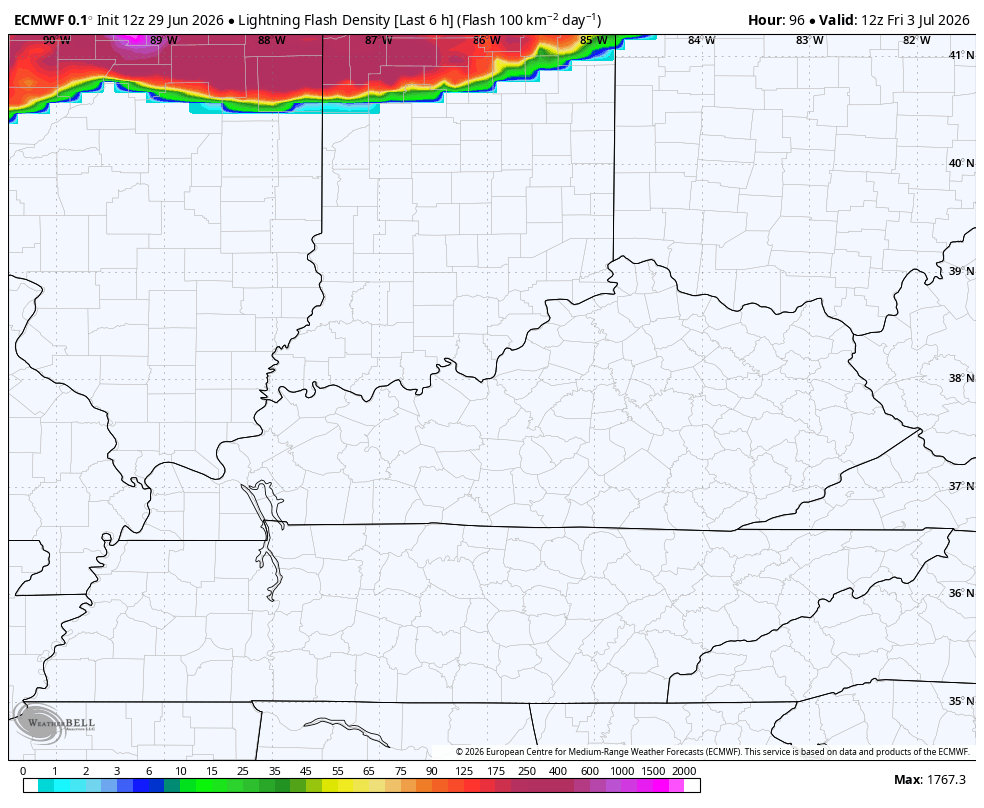
I could see a few high water issues being possible with this scenario.
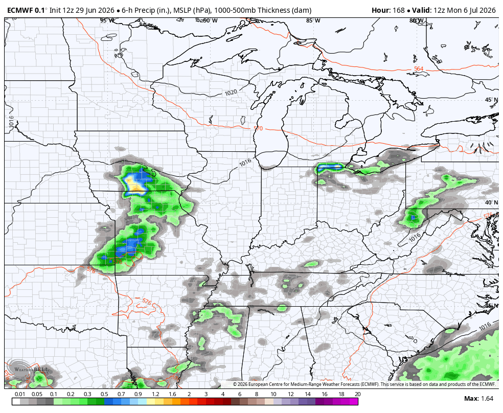
Additional rounds of showers and thunderstorms will be with us next week as several systems look to drop in from the northwest…
As always, I leave you with your daily tracking toys…


Current watches

Possible Watch Areas

Make it a terrific Tuesday and take care.
