Good Thursday, everyone. It’s another hot and humid day across Kentucky as we the threat for a few storms shows up for some. These storms lead us into the 4th of July holiday weekend and look to increase a bit.
Temps today are similar to Wednesday with 90-95 degree highs and a heat index from 100-105 for many. By Kentucky heat waves, this one has been pretty underwhelming in terms of not even coming close to criteria for Extreme Heat in our region.
A storm or two will develop later today into the early evening with the best chance being across the west and south. There’s a low-end risk for a strong or severe storm…

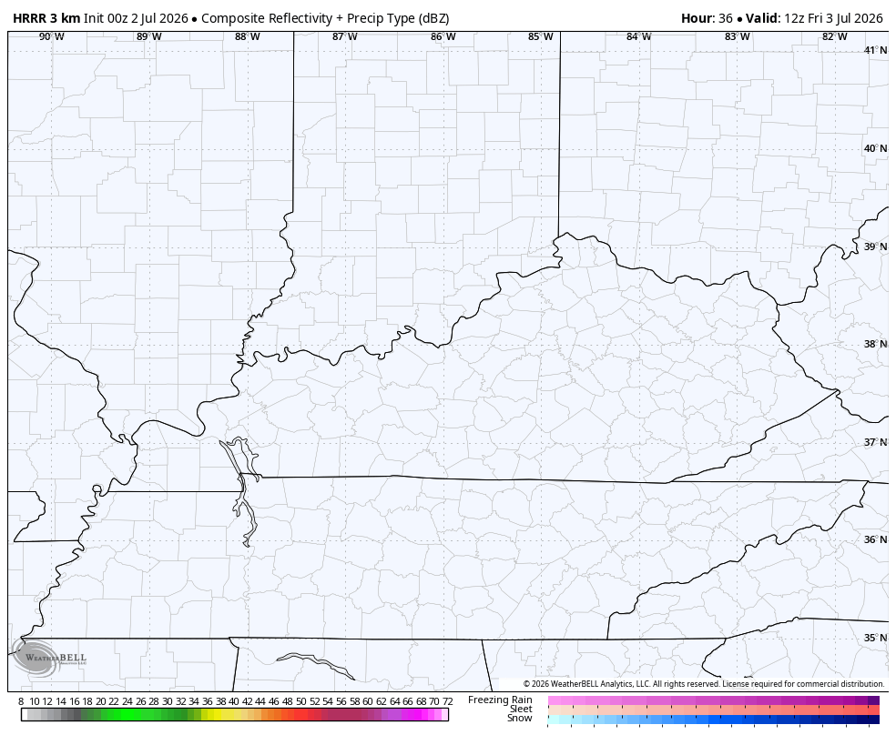
A better chance for storms to go up is with us on Friday as a few clusters of boomers show up. The future radar shows this well…
The Storm Prediction Center as a low-end risk for a few severe storms for much of the region…

The 4th of July itself looks seasonably toasty with temps around 90 and more storms going up from time to time, but this won’t be a washout. Just like Friday, there’s a low-end risk for a few severe storms…

Showers and storms should increase a little more for Sunday and Monday…
The pattern looks active for much of next week into the middle of the month as the jet stream starts to carve out another dip in the east.
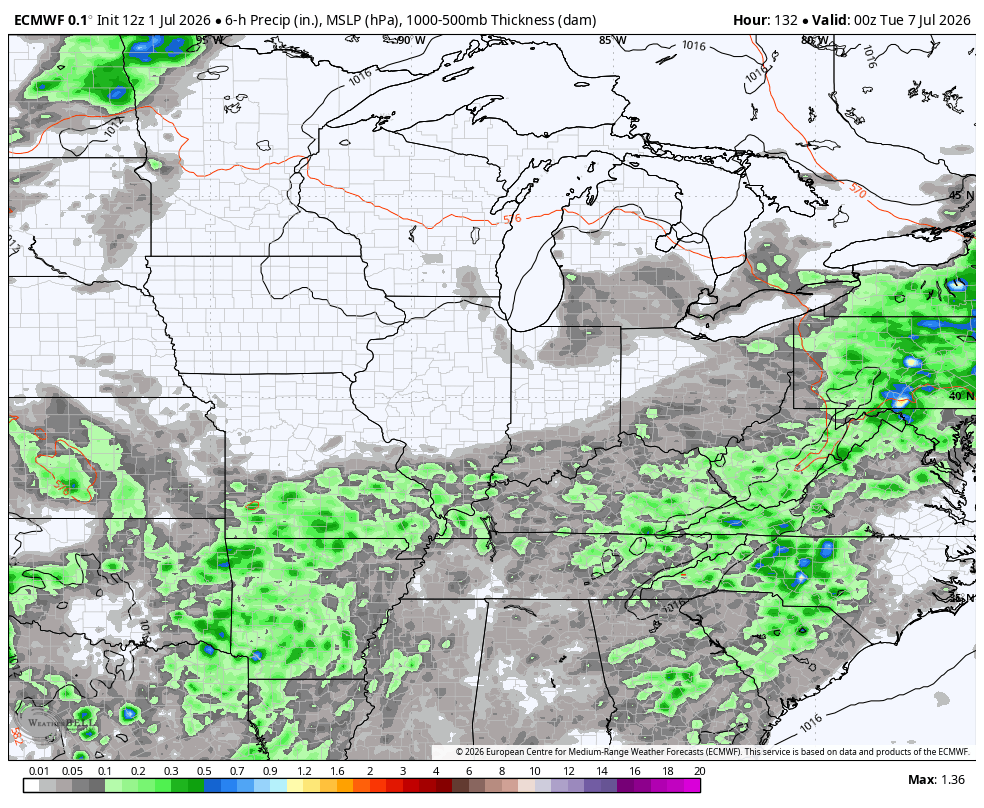
Here’s the EURO from Monday through July 16th…
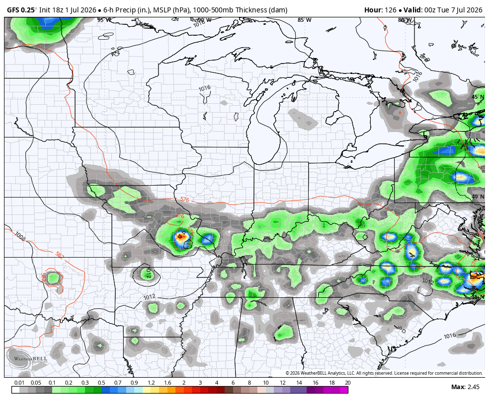
And the GFS for the same period…
As always, I leave you with your daily tracking toys…


Current watches

Possible Watch Areas

Make it a wonderful Wednesday and take care.

Wednesday was another hot one in the Bowling Green area. At 4:25pm CDT, my PWS recorded a high temperature of 100°F, a dewpoint 76.6°F, and a heat index of 116.1°F.