Good Monday to one and all. It continues to feel the part of mid-September out there as we begin the final week of August. These below normal temps hang tough for a bit with a few storms showing back up before the week is finished.
Highs today range from the middle 70s to low 80s after we begin the day in the 50s. Temps are back in the 50s tonight and early Tuesday…
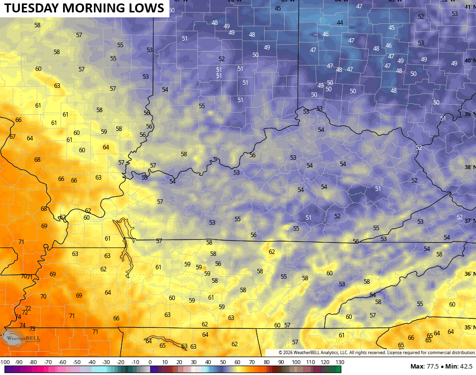
Tuesday looks mainly dry with highs in the upper 70s and low 80s with a mix of sun and clouds.
Moisture increases on Wednesday as a cold front moves, but there’s only an isolated storm chance in the west. Highs are back into the low and mid 80s.
A cold front drops in on Thursday, bringing a few showers and storms that last into early Friday…
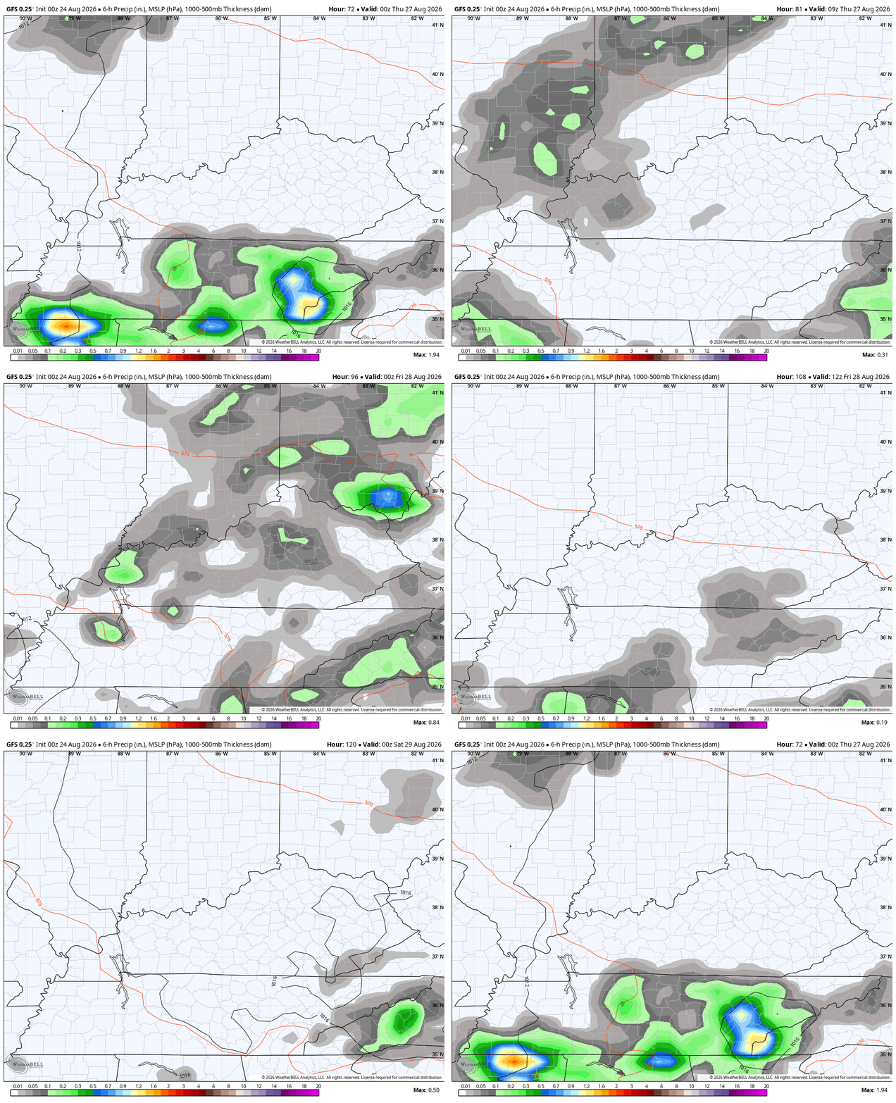
The timing on that could be better because we have the chance to see a partial lunar eclipse Thursday night…
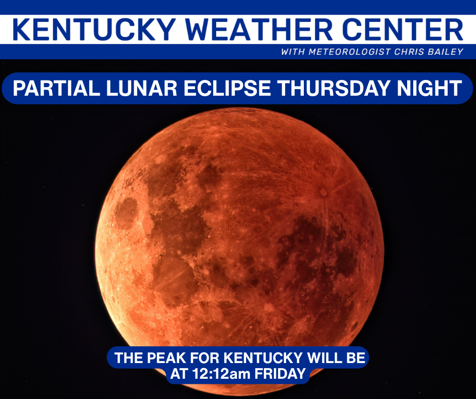
That coincides with a full moon, so it will be pretty awesome if the clouds stay away.
If we look at the latest analog composite forecast for the start of September from the GFS Ensembles, we start to see a lot of El Nino years showing up. The years are the first 4 numbers of each line in the bottom right…
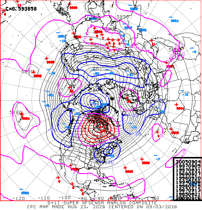
2005 being on the list is kind of wild because it was a weak La Nina that also had the busiest hurricane season on record going on.
1997 is on there twice and it’s the only Super El Nino year showing up. 1968 was a moderate El Nino, 1996 and 1985 were neutral, 1994 was a moderate El Nino. 1987 and 2009 were strong El Ninos.
If we remove 2005 for obvious reasons, here’s what the remaining years, some double-weighted, give us for temps and rainfall in September…
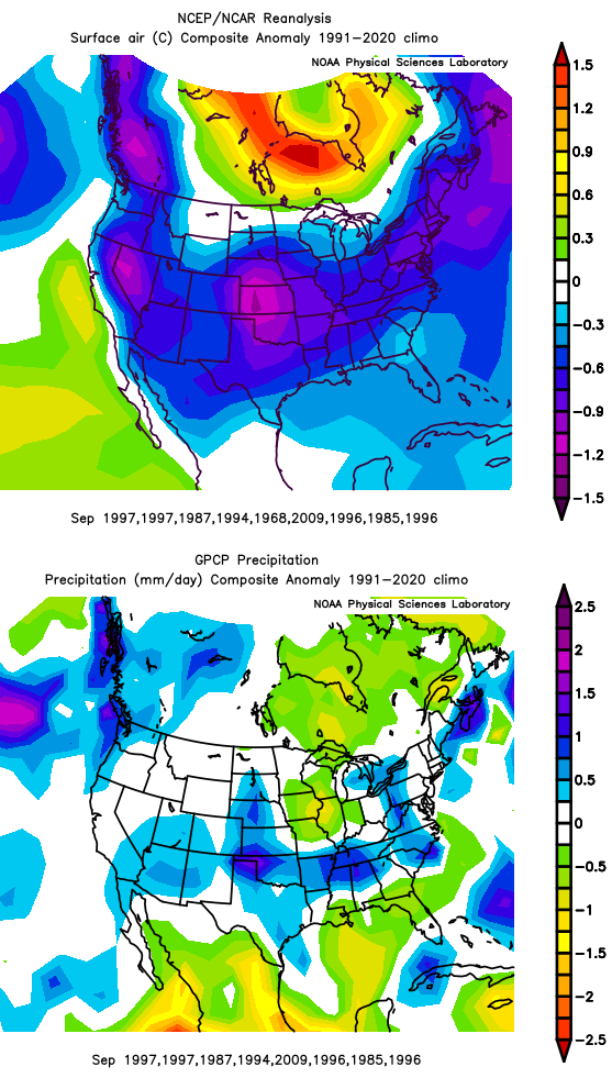
That won’t work out perfect by any means, but it’s something I typically put together from time to time to see where patterns may go.
Have a magnificent Monday and take care.

The pattern will go to a warm, dry winter.
Thanks Chris. Very interesting. I’ve been playing around with the analog years too. The one year that really stands out is 2015 – 16. If memory serves, September was above normal on temperature, and below normal on precipitation. I might add that the Winter ( here in Maple ) turned out to be the coldest and Snowest, since I’ve lived here in Central Kentucky. We shall see.
Here’s the link of ENSO events and their intensity : )
https://ggweather.com/enso/oni.htm
I love reading some of the brilliant insight in the comments.
Its ok. Jeff and
Schroeder know their stuff.