Good Friday to one and all. Our early September heat wave continues out there today as we look ahead toward the increasing potential for a few strong to severe storms. These storms are ahead of a massive cooldown coming for Sunday and Labor Day. Heat builds back in after that, though. 🙁
Temps today are back into the low to middle 90s with mid and upper 90s across the west. Heat index numbers range from the high 90s to 105.
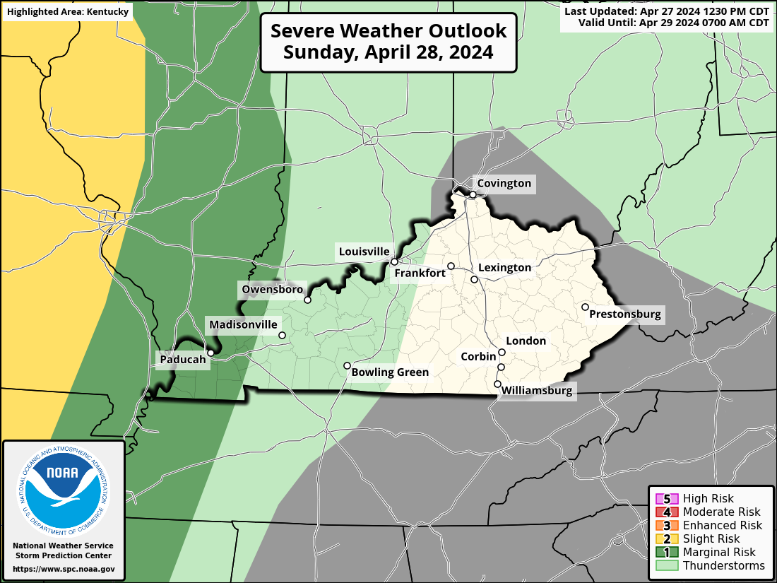
The potential is there for a few storms to go up, especially this afternoon and evening. The chance is there for some of these storms to produce wind damage and the Storm Prediction Center is highlighting that possibility…

As the boundary drops in from the northeast on Saturday, a few clusters of strong to severe storms may drop through here as well. These would be coming in from the north and, perhaps, northeast.
Here’s the Saturday Severe Weather Outlook from the Storm Prediction Center…
Temps come way down behind this for Sunday into Labor Day as both days feel much, much better. There’s still the slight chance for isolated showers and storms going up, especially in the southeast.
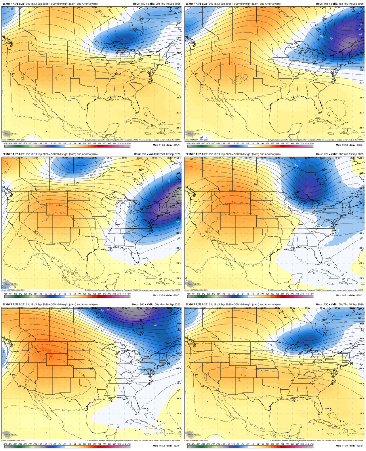
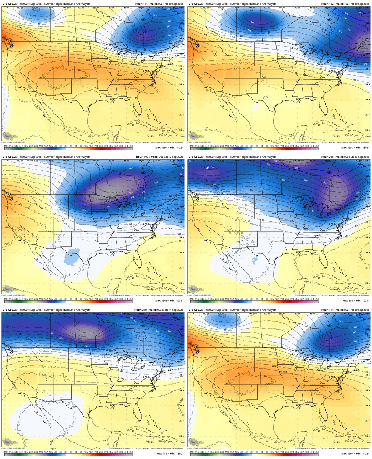
Heat surges back in with 90 or better for our region Tuesday through Thursday. Odds favor another cold front moving in late Thursday with the jet stream trying to take a few dips into the east during this time.
The AI versions of the EURO and GFS are the most jazzed up about this…
EURO AI
GFS AI
On another wild weather note, check out the trio of hurricanes spinning in the eastern Pacific…

As always, I leave you with your daily storm tracking toys…






