Good Tuesday, everyone. Today feels more like a Monday for many of us as we’re coming off that long holiday weekend. Things are mainly calm out there today, but the pattern looks to turn active again and will do so sooner rather than later.
Let’s begin with the precious present and roll forward.
Highs today reach the mid and upper 80s across central and eastern Kentucky with low 90s in the west. The chance is there for an isolated shower or thunderstorm to go up, too.
Wednesday’s temps will be very similar to what we have out there today as a strong southwest wind kicks in. Gusts of 25-30mph will show up from time to time. We may also fire up a few storms later in the afternoon and evening.
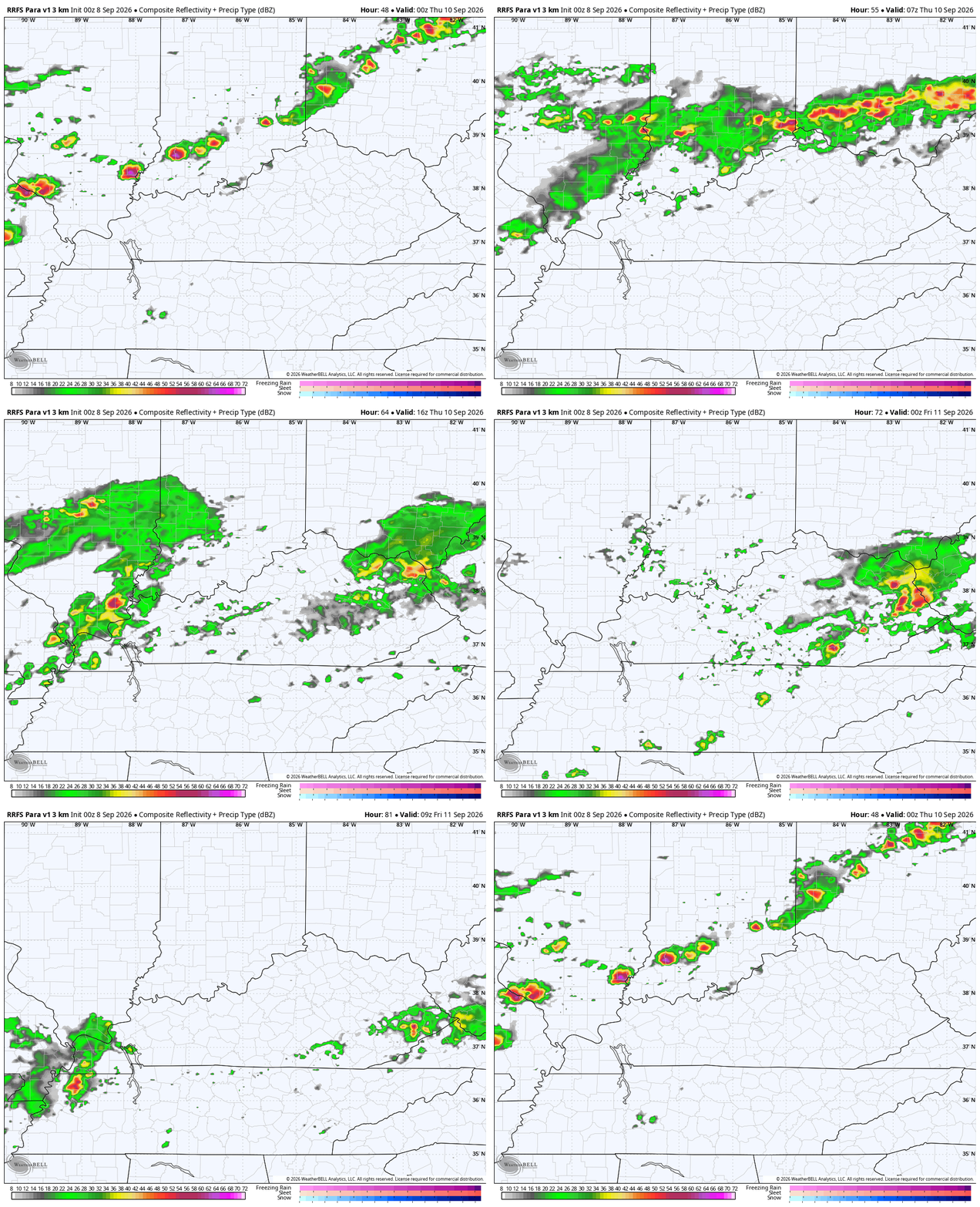
This is ahead of a strong cold front dropping in here on Thursday. The end result will be rounds of showers and storms rumbling along this boundary through Thursday night, at least. This animation shows the showers and storms from late Wednesday through Friday morning…
A few strong to severe storms can’t be ruled out, especially Wednesday night and Thursday. Here’s what the Storm Prediction Center is looking at for Wednesday’s Severe Weather Outlook…
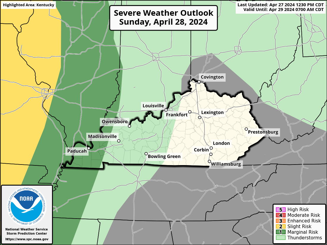
That low-end severe threat sinks farther southward into the region for Thursday…

These storms will also pack a heavy rain punch, with some area picking up a few inches of rain out of this.
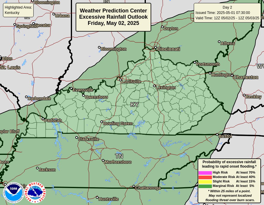
The Weather Prediction Center is highlighting the low-end potential for a few areas of flash flooding…
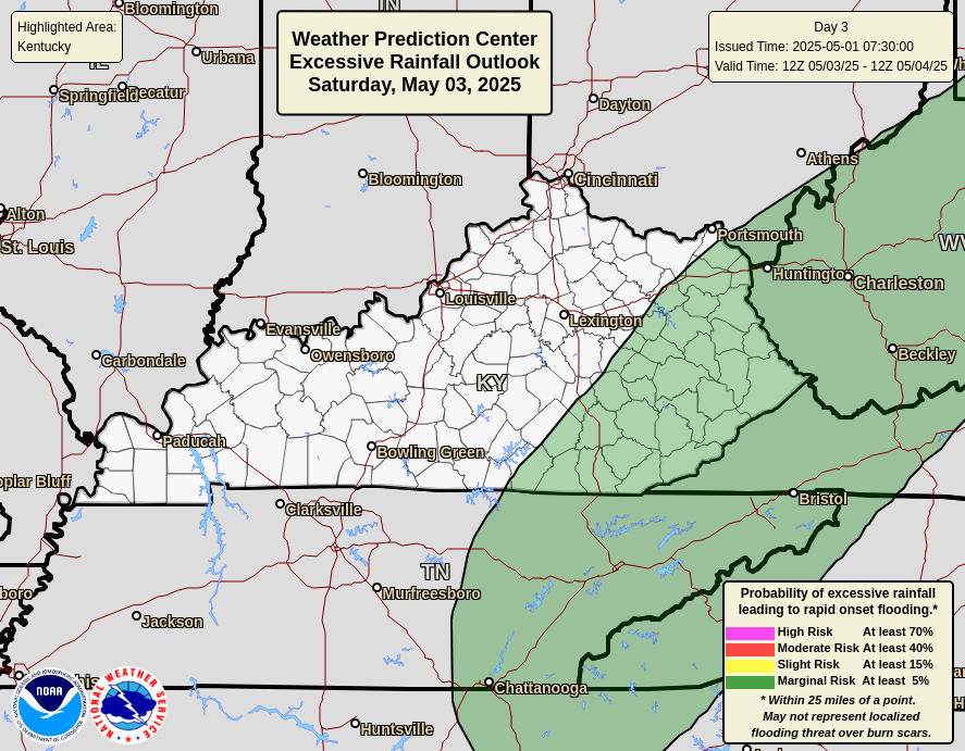
A boundary hangs around into the upcoming weekend, leading to the potential for a few more showers and storms. You can see that from this animation going from Friday morning through Sunday evening…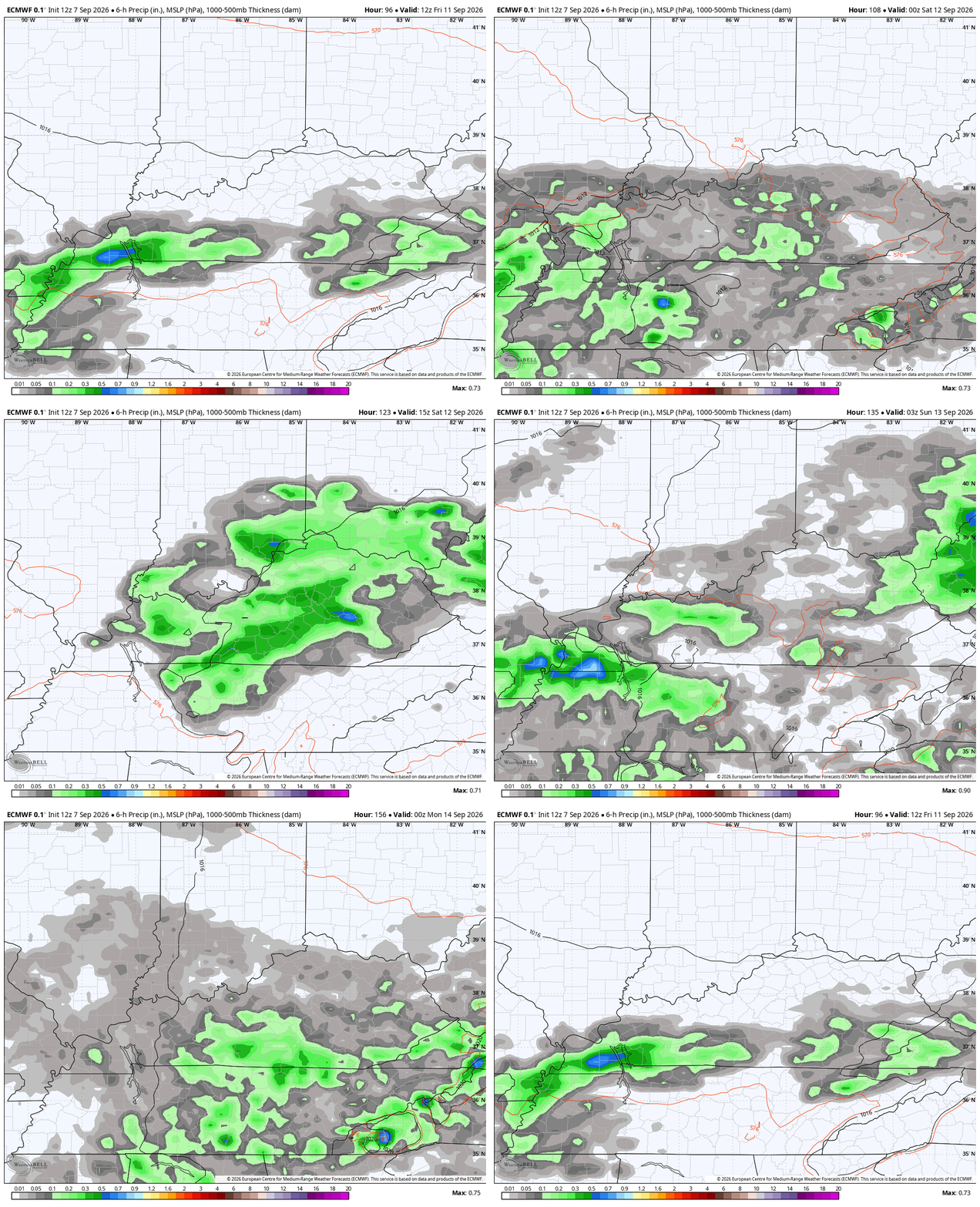
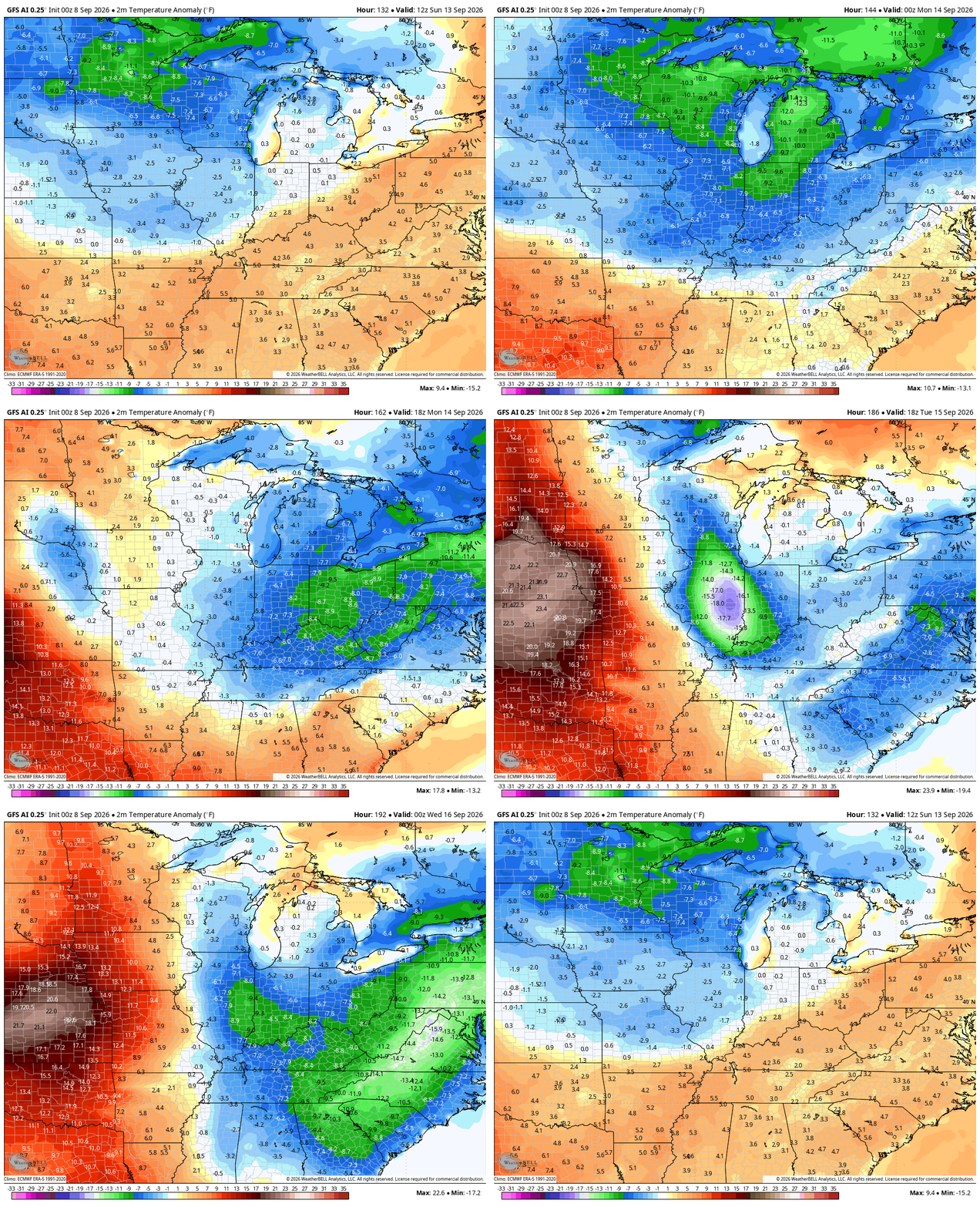
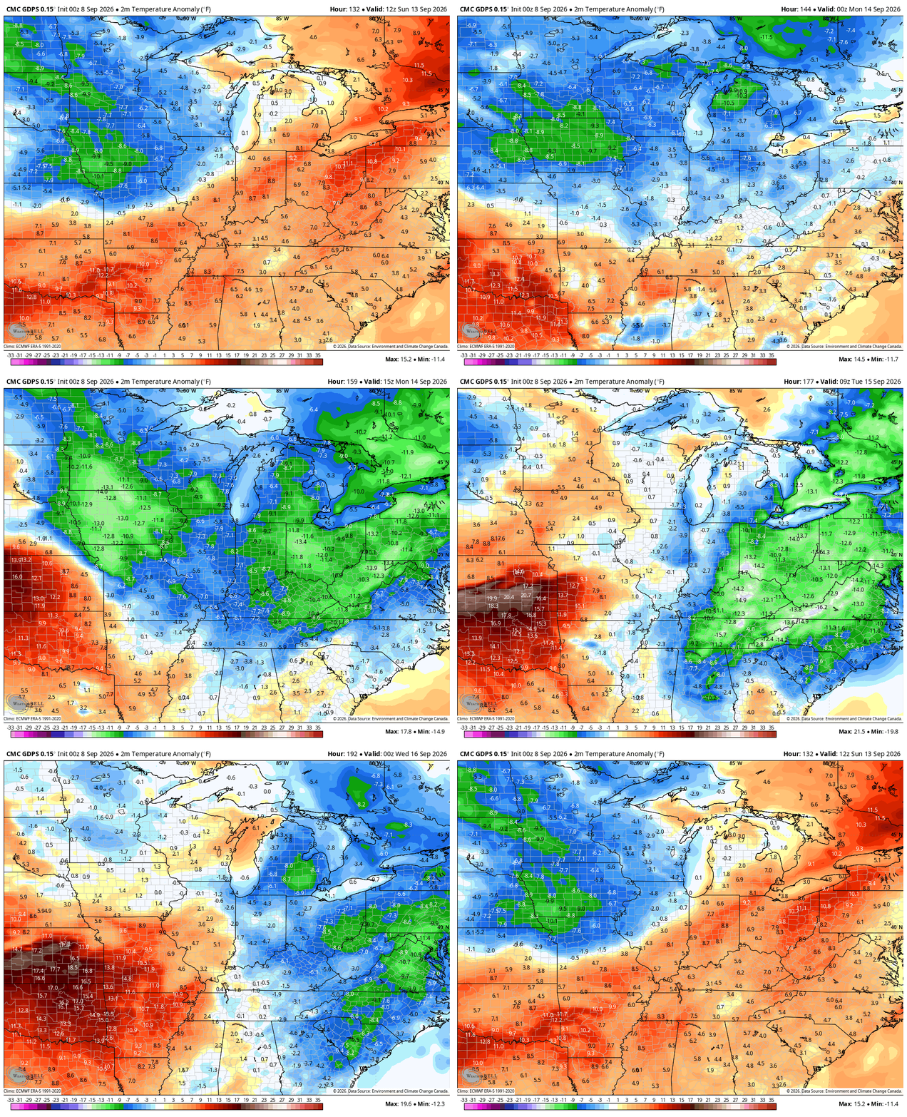
Several models are bringing in a nice shot of cooler than normal air behind that into the first half of next week.
GFS AI
CANADIAN
As always, I leave you with your daily storm tracking toys…




Current watches

Possible Watch Areas

Make it a terrific Tuesday and take care.
