Good Sunday to one and all. We are awaiting the arrival of a weak cold front dropping in from the north, bringing much better air into the day on Monday. Don’t get spoiled by it because more heat surges back starting Tuesday. Sigh.
Temps today are deep into the 80s across central and eastern Kentucky with a 90 in the west. The cold front moving in will fire off a broken line of showers and storms starting this evening and ending into the wee hours of Monday. Here’s the future radar from the Hi Res NAM…
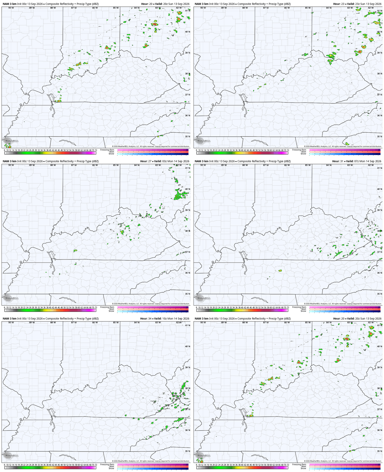
There’s a low-end risk for a few strong storms with a Marginal Risk for severe storms to our northeast…

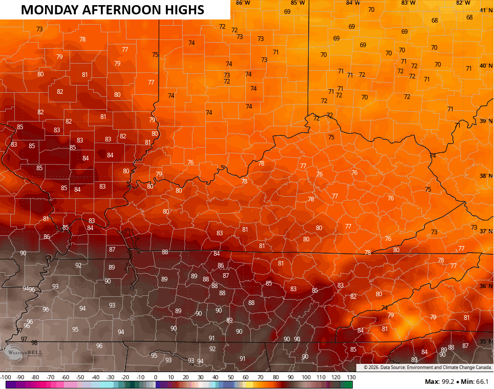
Temps come way down and feel pretty awesome on Monday. Highs are in the mid and upper 70s with near 90 in the far southwest…
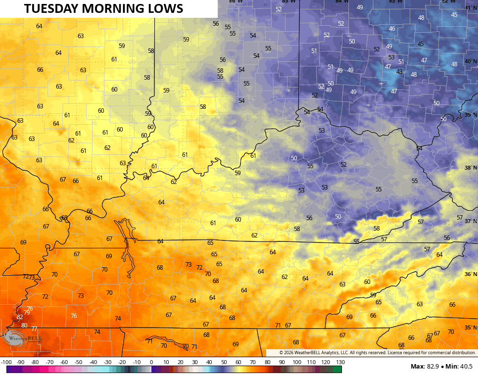
Now comes the whiplash. Lows by Tuesday morning are in the 50s for central and eastern Kentucky…
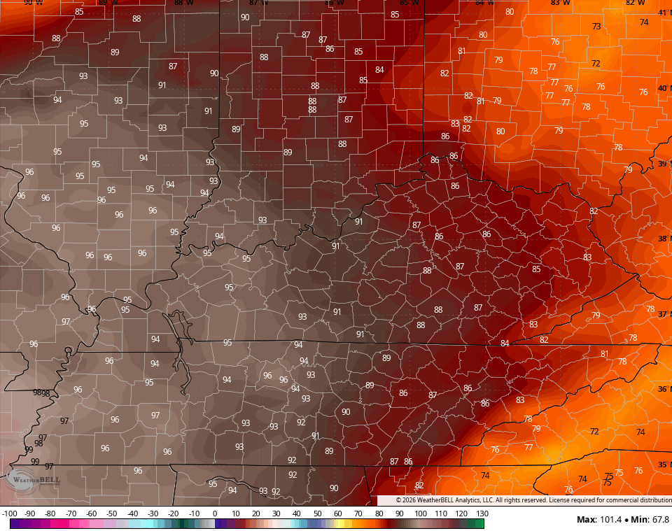
The heat surges in on Tuesday with 90-95 in the west and 85-90 central with mid 80s in the east…
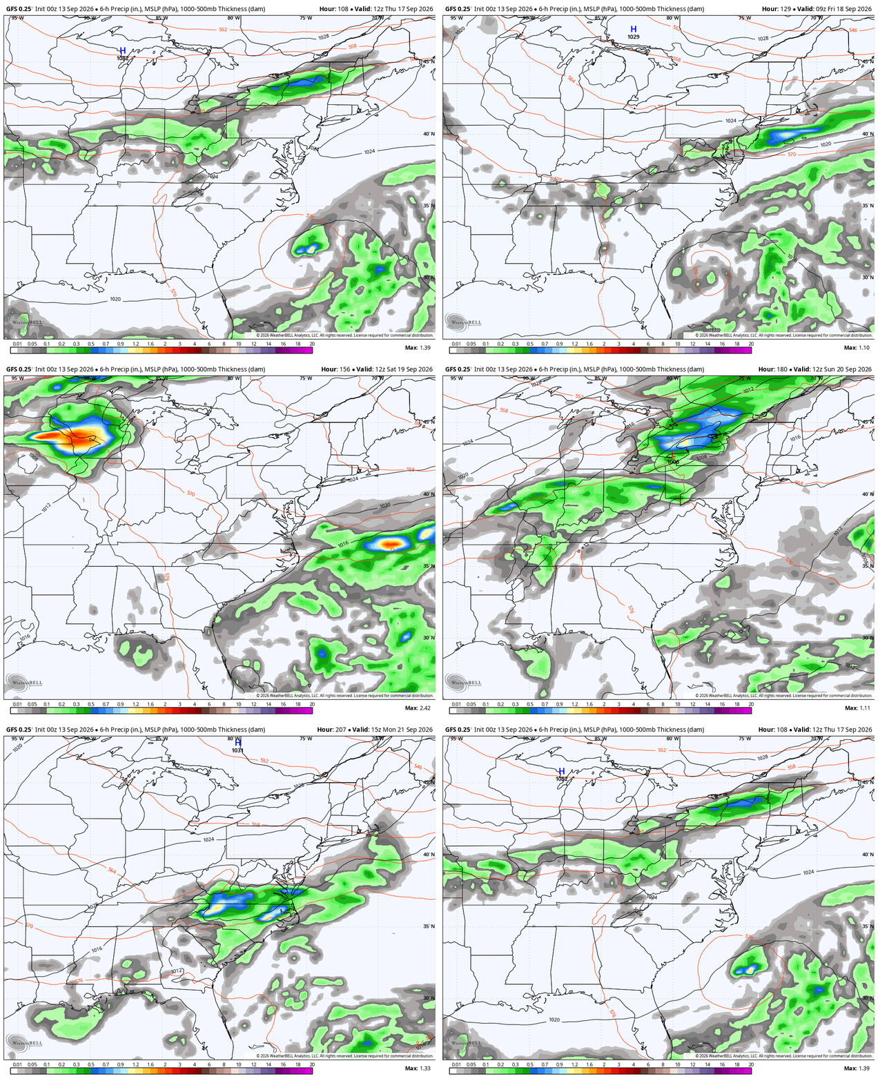
Temps of 90 or a bit better look likely for Wednesday and Thursday with the hottest air in the west once again. There’s a small storm risk for Wednesday with a much greater risk coming later Thursday as a cold front sweeps in from the northwest. This will be followed by a stronger upper-level system rolling in from the northwest next weekend…
As always, I leave you with your daily storm tracking toys…




Current watches

Possible Watch Areas

Make it a sensational Saturday and take care.

Why sigh about the late Summer heat? I will enjoy it. 🙂