Good Monday, everyone. A refreshing brand of air is blowing across Kentucky today and you had better get out and enjoy it because it won’t last long. Another surge of September sizzle is on the way for much of the rest of the week.
Temps out there today range from 75-80 in much of central and eastern Kentucky as we are on the good side of a boundary. Lows by Tuesday morning hit the 50s in the central and east. Those pleasant temps slide quickly to the northeast throughout the day, allowing for a surge of heat back into our part of the world.
Here’s a quick breakdown of the Tuesday through Thursday period…
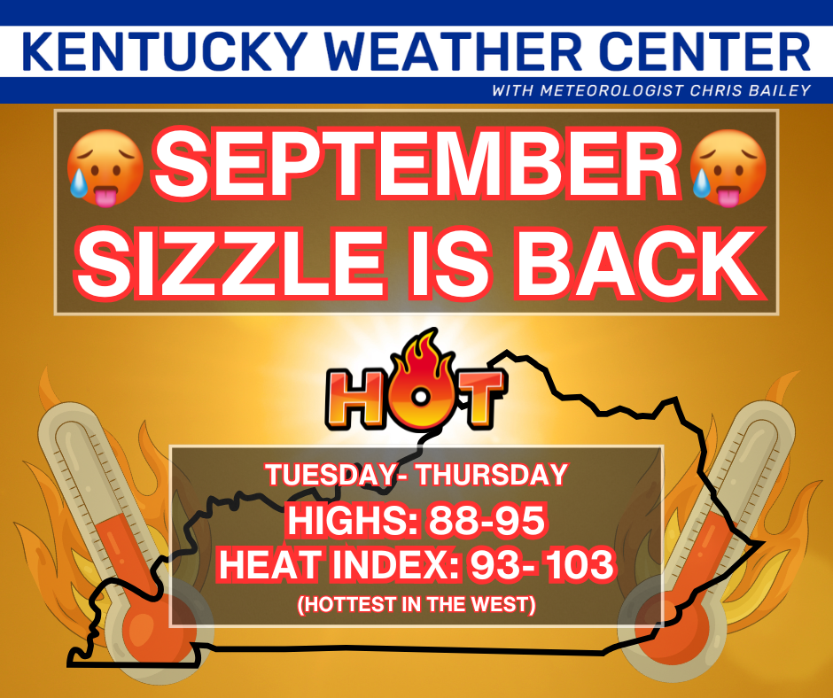
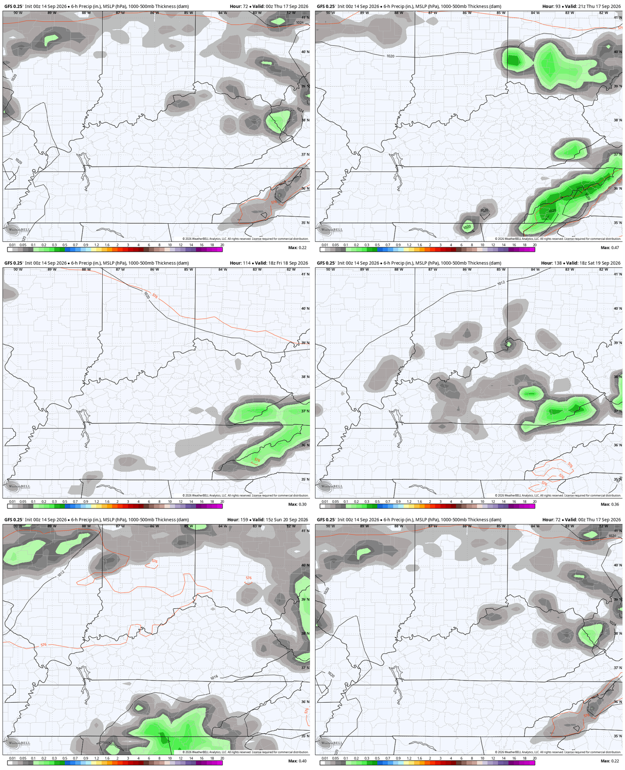
We do run the risk of a few storms going up on Wednesday with a better chance later Thursday. That’s when a cold front nears from the north, but this looks to slow down right on top of us. This animation shows the front slowing down on us from Wednesday night through Saturday…
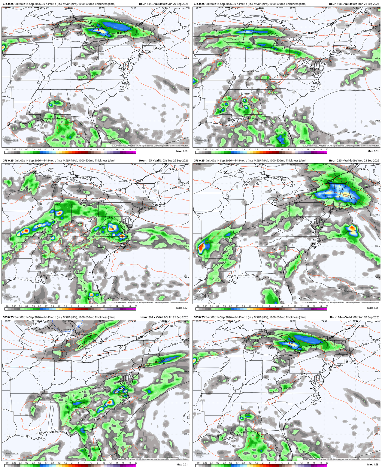
Beyond that is when things get murky as we find the forecast models doing a lot of flipping and flopping. But they’re doing it for good reason as we have a few upper level systems trying to close off at the same time the tropics try to spin something up. This is a busy look from late this weekend through next week…
As you know, this is one of the quietest Atlantic hurricane seasons on record. The NHC is watching a system way out there…

As always, I leave you with your daily storm tracking toys…




Current watches

Possible Watch Areas

Make it a magnificent Monday and take care.
