Good Thursday, folks. It’s another hot as fire weather day across the state as our sizzler of a September rolls on. We do have some changes on the way with a backdoor front on Friday and a much bigger change late this weekend and early next week. That may FINALLY alter this ugly pattern.
Before we get to the forecast part of the program, let’s talk about the first half of September. For several cities across the state, this was the hottest first half of September on record…
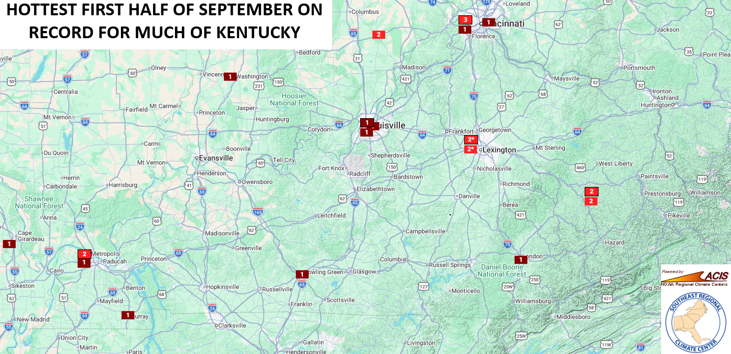
That’s a testament to just how darn hot it has been around here.
Temps today are back into the low and mid 90s for most with some slightly higher numbers in the west. The chance is there for a shower or storm going up, especially this afternoon and evening.
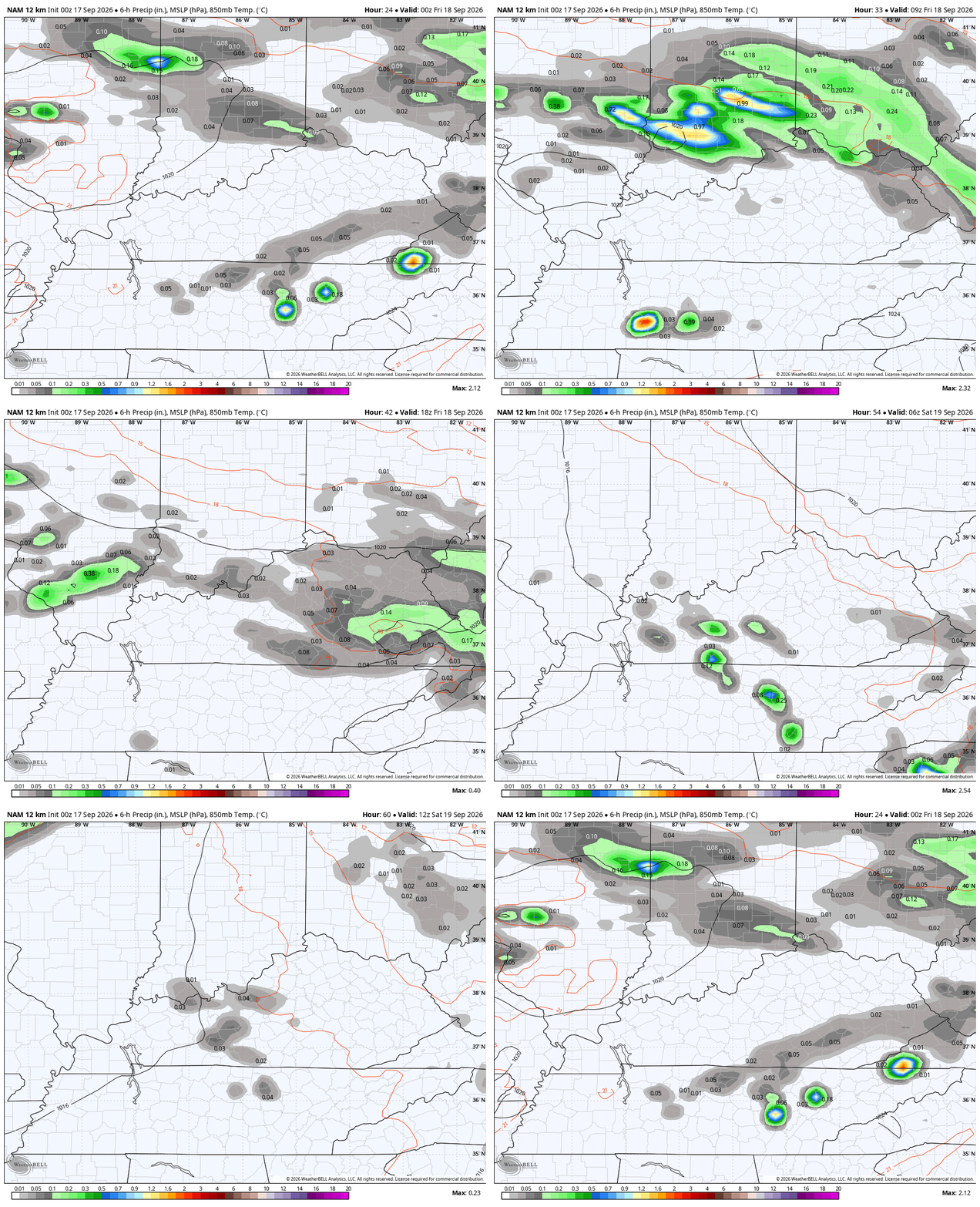
A backdoor cold front then presses in from the northeast to the southwest later tonight into Friday. This boundary can only get so far to the southwest, but it will get far enough to bring much better temps into central and eastern Kentucky into the start of the weekend.
This will also bring showers and storms to some areas as it slides through on Friday. This animation starts tonight and goes through Friday night…
Check out the much better air across the central and east Friday afternoon…
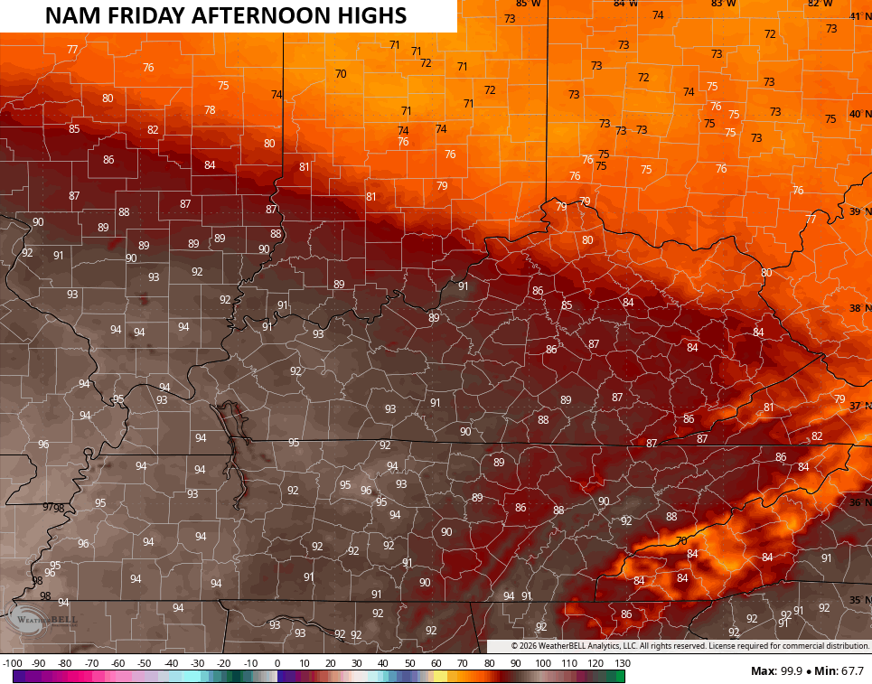
The west is still baking.
Those temps stay toasty in the west over the weekend, but some showers and storms may help out areas of central and eastern Kentucky. Watch how these storms flare up during this time…
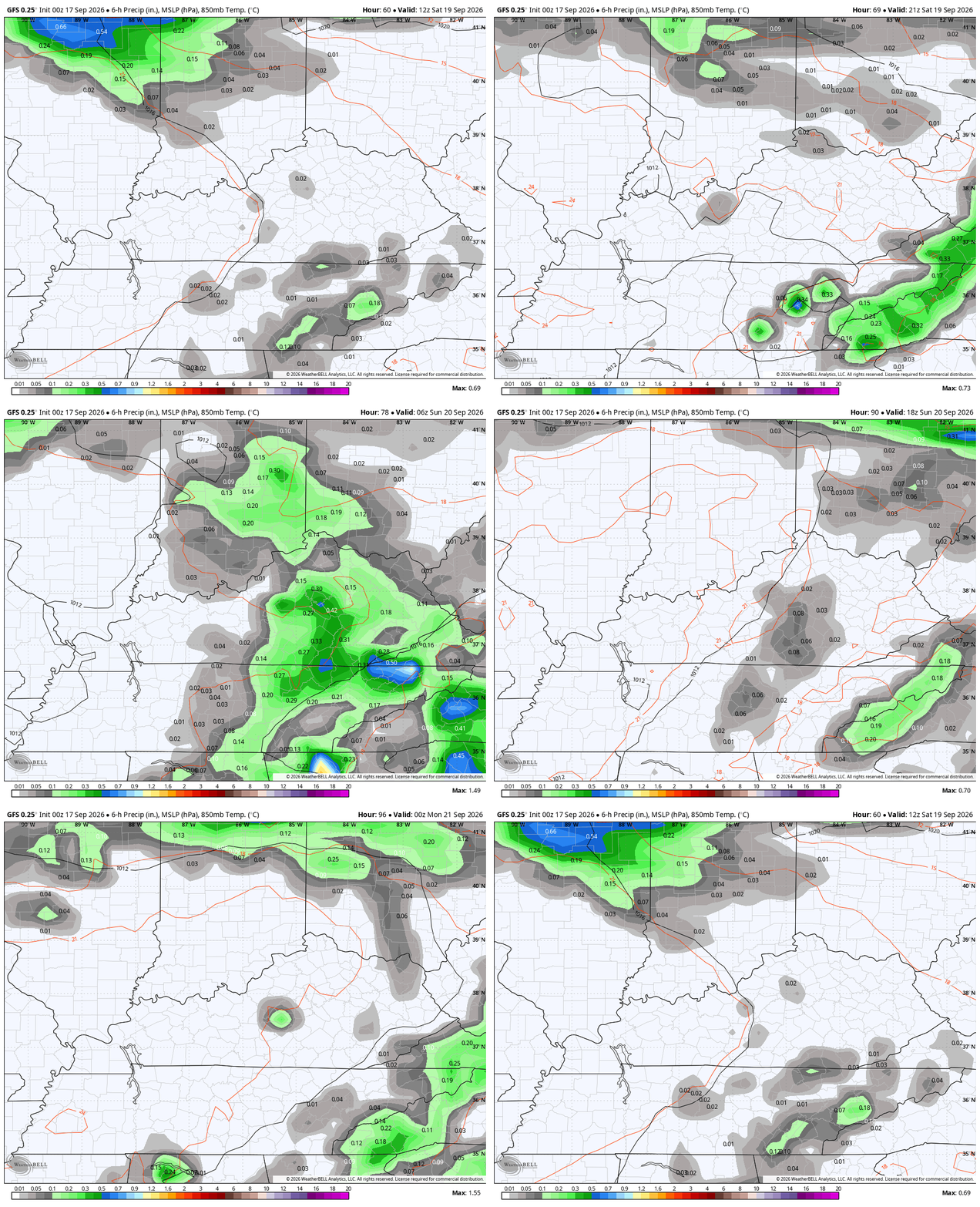
Changes show up in greater force next week as the upper level system drops in with cooler temps and rounds of showers and storms. Here’s the GFS from Sunday night through next Thursday…
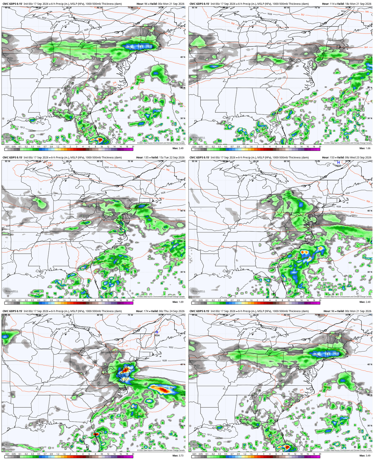
The Canadian is similar…
As always, I leave you with your daily storm tracking toys…




Current watches

Possible Watch Areas

Make it a terrific Thursday and take care.
