Good Friday to one and all. We are rounding out a scorching hot work week with a weak cold front dropping in from the northwest. This brings some storms and heat relief for some to start the weekend. Hang in there because Fall looks to flex as we get into early next week.
Today’s front brings scattered showers and storms rolling from northwest to southeast, even as the front is backing from northeast to southwest. Temps across the west and far south will be back in the 90s, but temps drop into the 80-85 degree range behind the boundary across areas of central and eastern Kentucky.
This boundary will be nearly stationary into the weekend, meaning we find the eastern half of the state much cooler than the western half. We will also see a few booming thunderstorms developing and rolling in from the north and northwest, especially in the central and east.
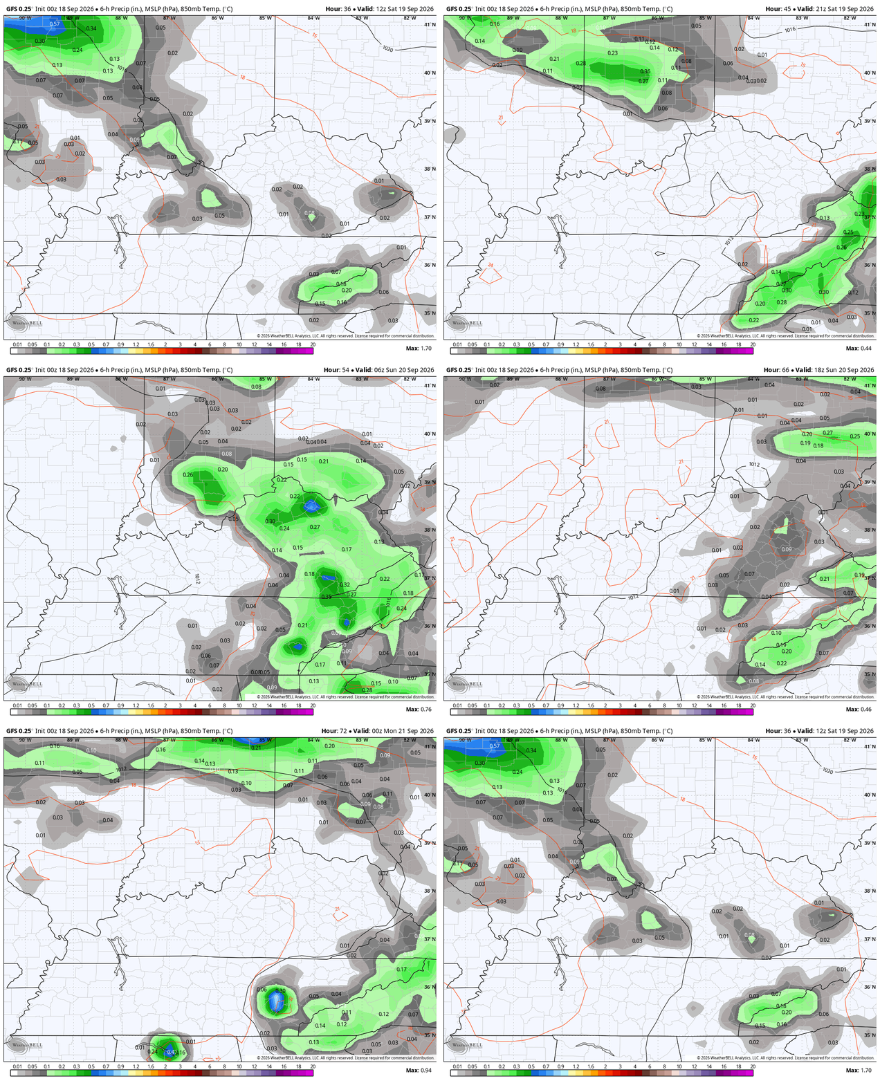
Temps do turn toasty for the entire state again on Sunday into part of Monday. This is ahead of a major overall pattern change with several systems slowly spinning into the eastern half of the country, finally beating the heat ridge into subission.
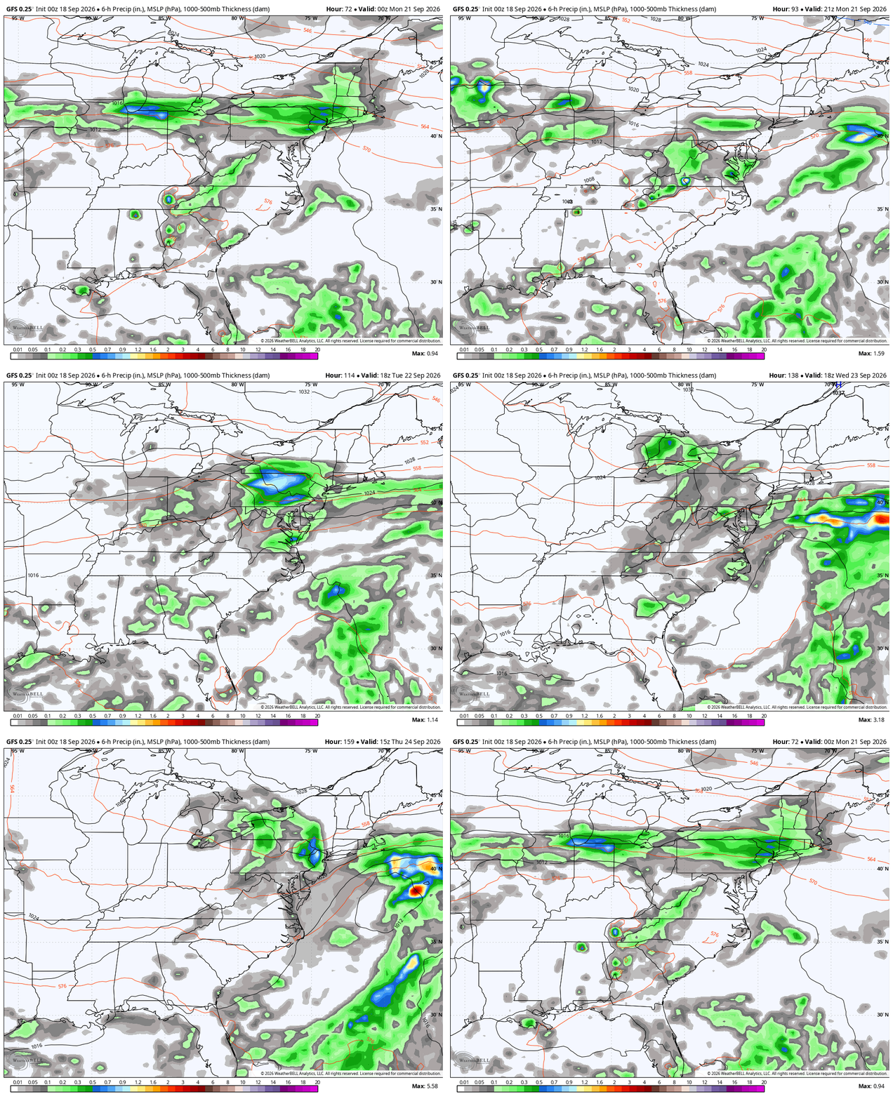
A few showers and storms move through here Monday into Tuesday with a few possibly lingering into Wednesday and Thursday. This animation shows things well…
This ushers in a true late September feel with temps actually coming in a bit below normal…
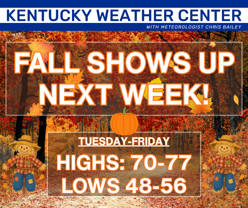
The chance is there for any one day that features clouds and showers to stay in the 60s for high temps.
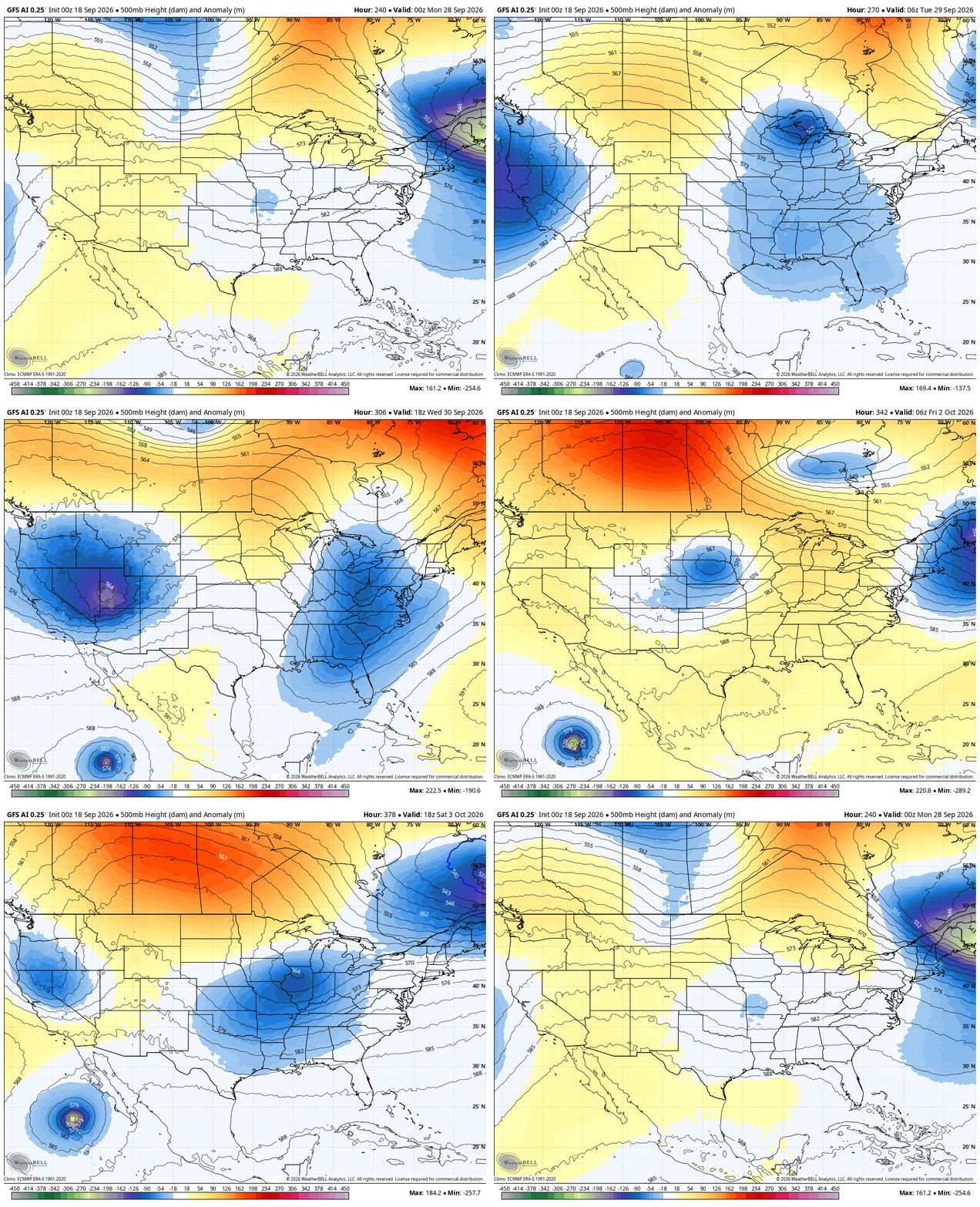
Additional troughs then dive in under a ridge going up across Canada to end the month. and begin October..
As always, I leave you with your daily storm tracking toys…




Current watches

Possible Watch Areas

Make it a fantastic Friday and take care.

This weather isn’t surprising to me at all. Sept can OFTEN times be really hot/dry like this… I’ve seen this before. Sometimes I hate summer.