Good Friday, folks. We’ve made it to the final weekend of September and our weather is looking pretty darn awesome. Temps continue to run well below normal with the sun returning to our sky. All of this is ahead of what will be a busy start to the month of October.
If you’re planning on hitting a pumpkin farm this weekend, you picked a good one. Perfect early fall weather will be noted today through Sunday…
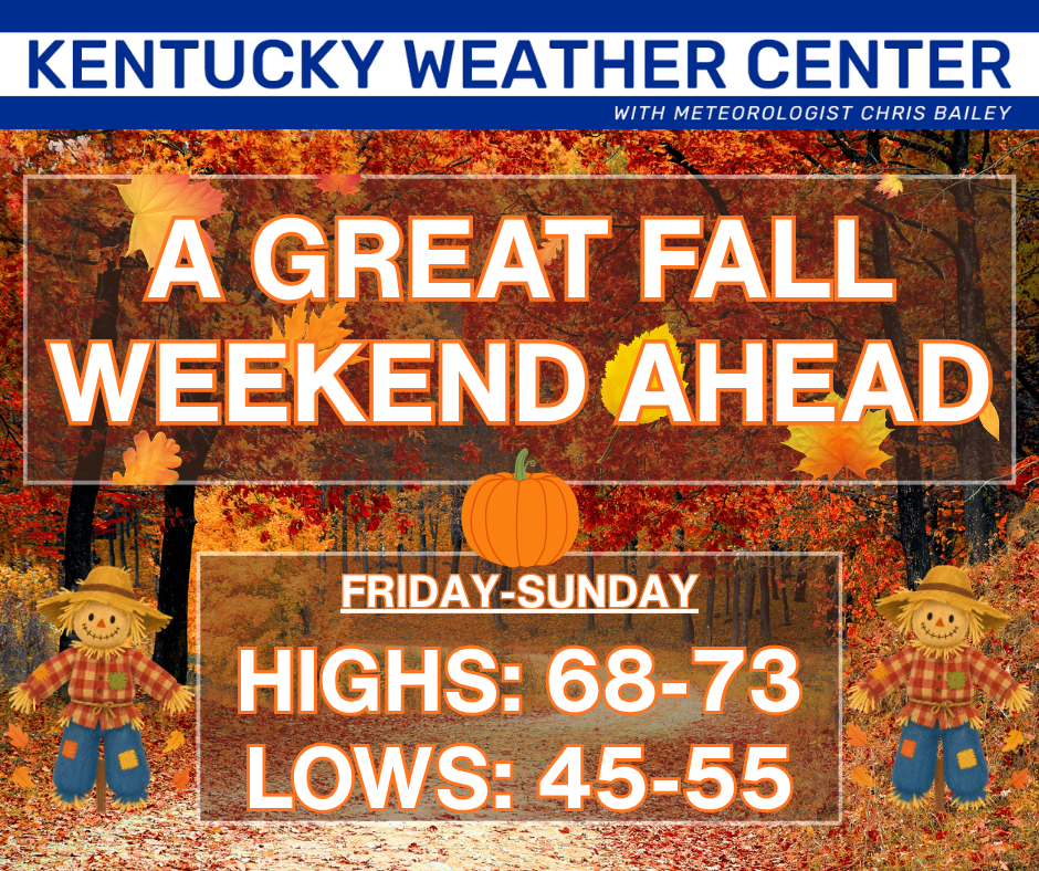
Western Kentucky will be a bit warmer than the central and east and there’s the chance for a shower or two at some point this weekend.
This nice weather continues into Monday and Tuesday with temps inching up. Highs by Wednesday likely reach 80 or a little better as we wait for a storm system and cold front to approach from the west. This brings showers and storms increasing for the second half of the week, but how things shake out exactly depends on if we get a slow low to develop.
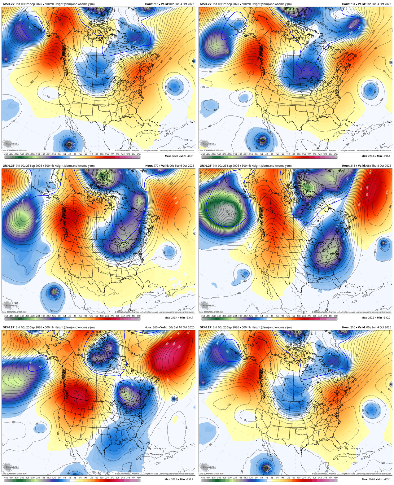
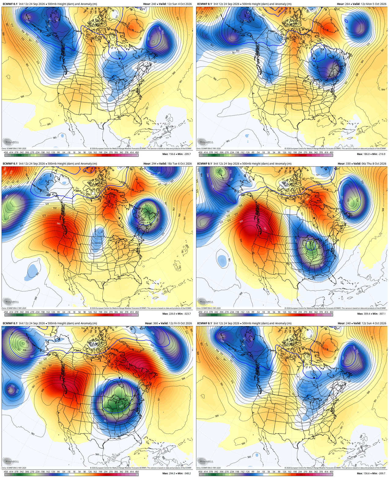
I’ve been talking about the signal for a bit buckle in the jet stream showing up in that October 7-14 time period, potentially bringing us our first frost threat. Several models are jumping on a big dip in the jet stream in this window.
The GFS gets this going a little before my window…
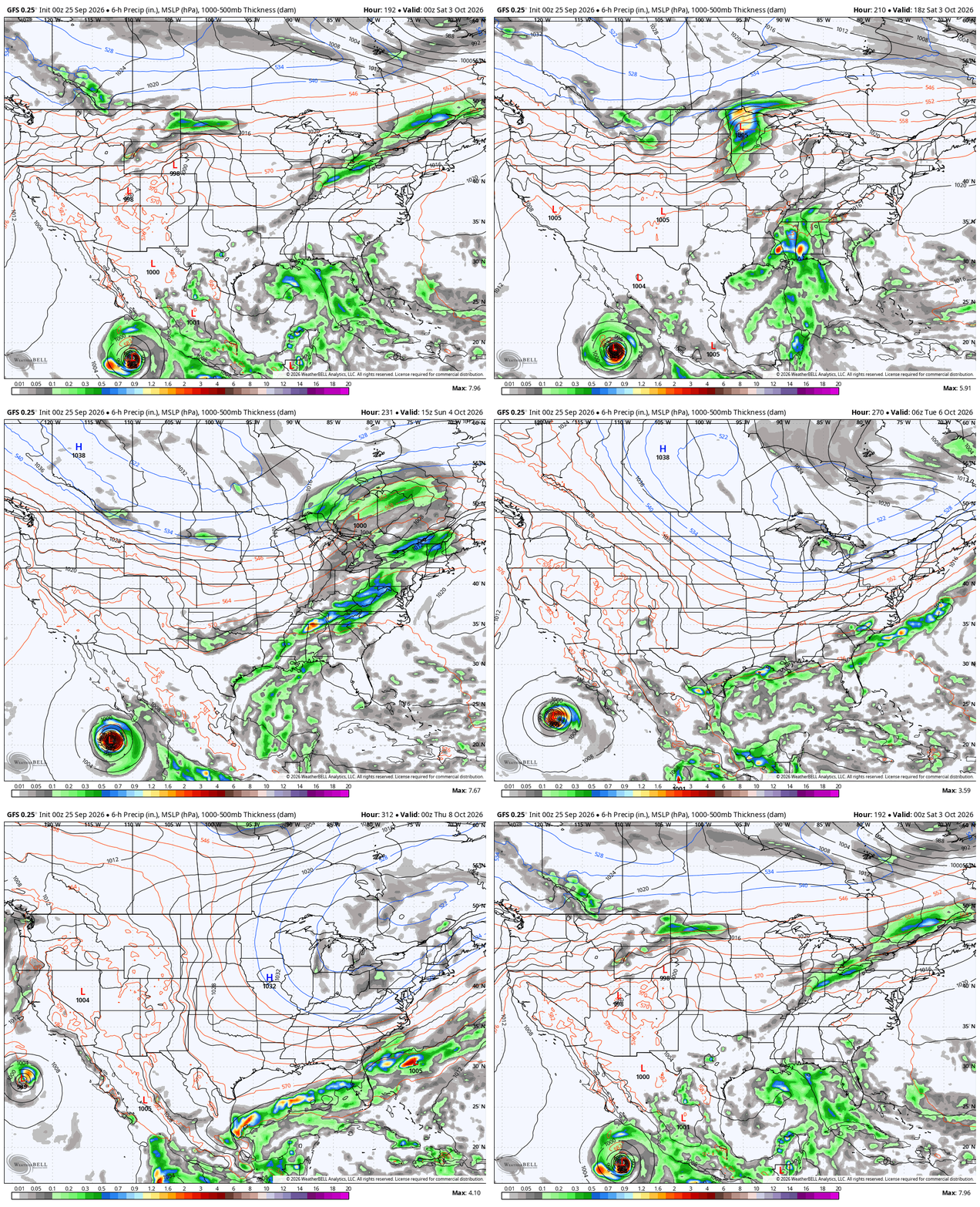
The surface map from that run has cold enough air for lake effect rain and snow showers in the Great Lakes…
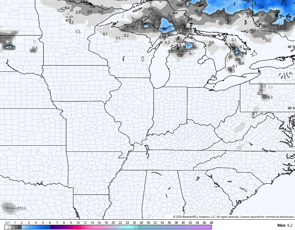
I spy some WV Mountain flakes with that run…
Here’s the EURO…
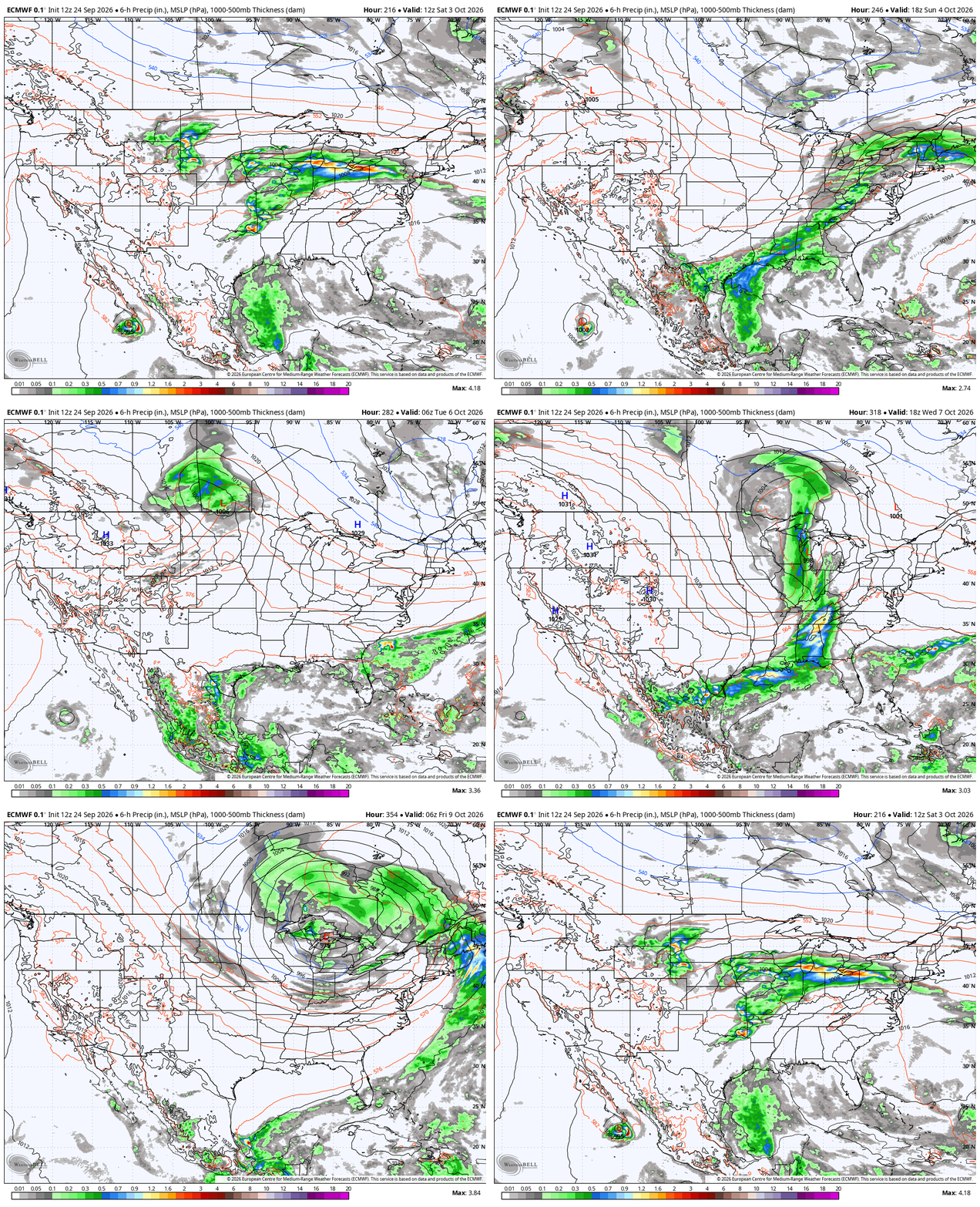
Here’s what that looks like at the surface from next weekend into the following week…
It’s good to see the models picking up on my cold signal. 🙂
Make it a fantastic Friday and take care.

Thanks Chris. I will welcome the Sunshine along with the delightful Fall temperatures, but I hope the next front brings good soaking rains.
Schroedor , it so good to hear from you and yes i echo your comment we need rain.
GFS and Euro are both showing the 540 line making its way into the northern US. It’s the shape of things to come. Rainfall in Warren County is over 7 inches below normal YTD, and nearly 15 inches below 2025 YTD.
Burn bans are in effect for Warren and most of south central Kentucky.
At least now it is actually “well below normal”. 😉