Good Saturday, everyone. The first weekend of October is off and running feeling about like it should. Some of us have another shot of rain to go through, but the overall pattern for the next week or so looks pretty darn awesome.
Morning showers are with us in the south and southeast, but this action diminishes as the day wears on. The rest of the state sees a mix of sun and clouds with pleasant temps ranging from the middle 60s to low 70s.
Another wave of low pressure moves by to our southeast later tonight and Sunday, bringing another shot of showers to the far south and southeast…
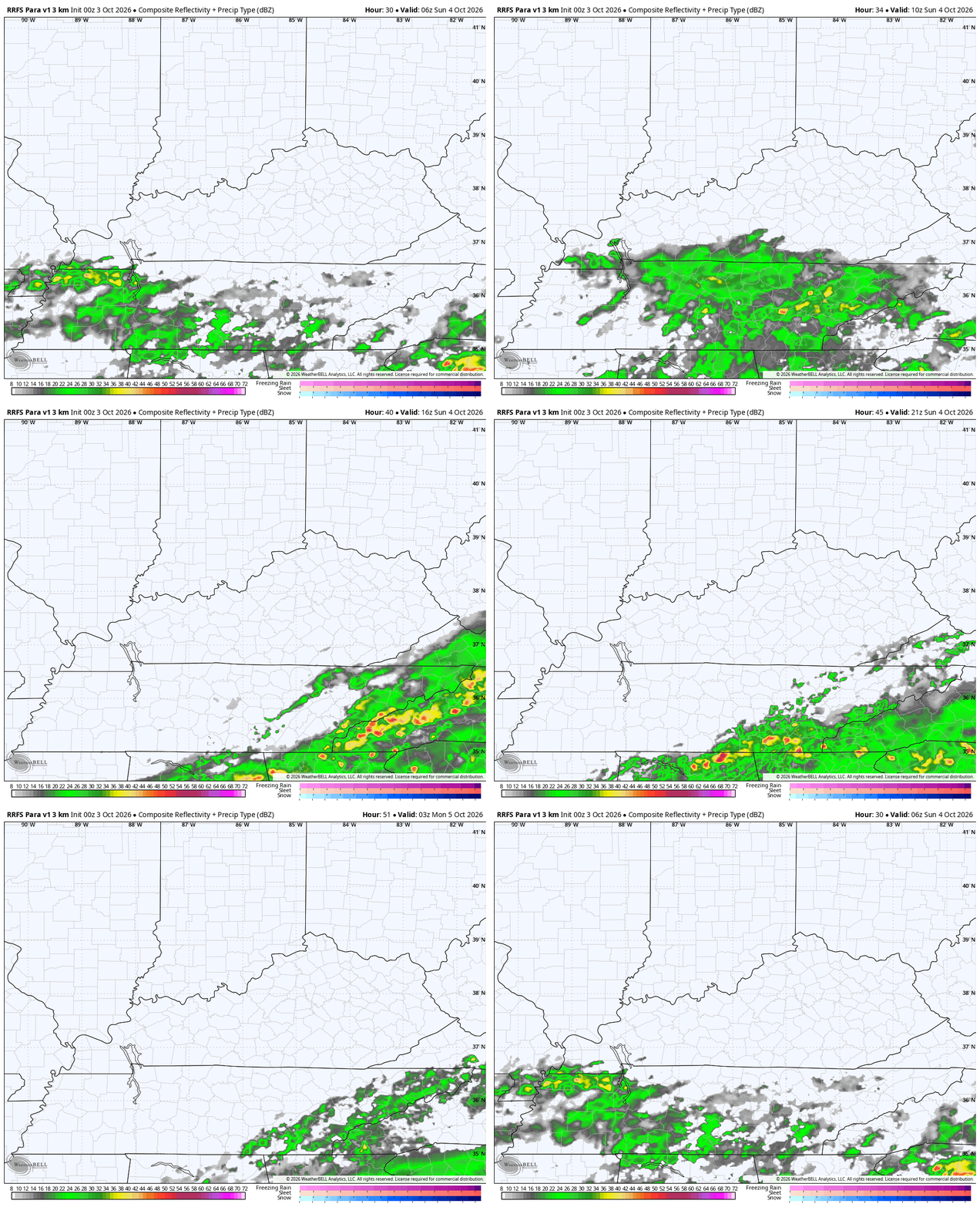
Temps in the southeast will be cooler than the general 70-75 for the rest of the state in what will be a great looking and feeling day.
Another cold front drops in Sunday night and early Monday, bringing just a few clouds along for the ride. Highs range from the mid 60s to low 70s for Monday and Tuesday with lows by Tuesday that can reach the upper 30s in some areas. That’s when a touch of patchy frost would be possible.
Awesome fall weather will be with us for the rest of the week with mild afternoons and seasonably chilly nights.
The tropics continue to be a no show with the National Hurricane Center still showing nothing of interest over the next 7 days…

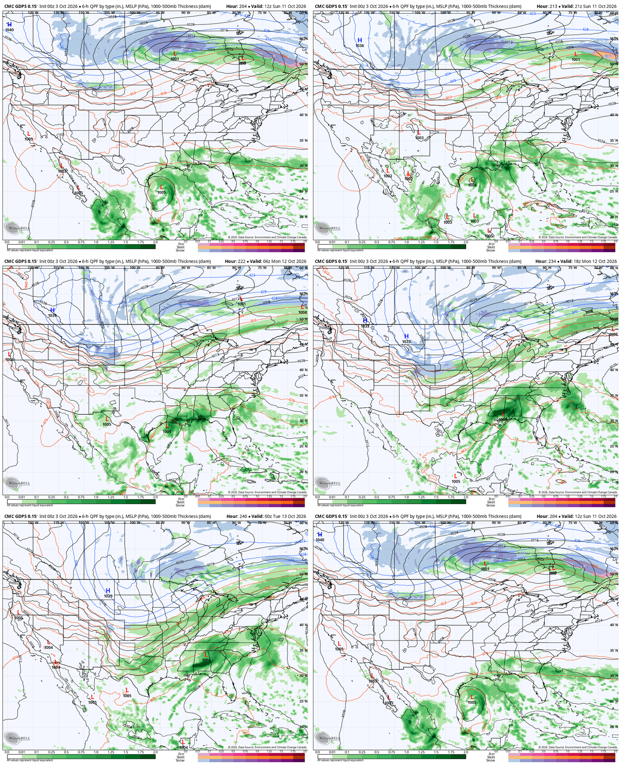
That’s not stopping some of the forecast models from seeing activity in the Gulf, but this looks more like a very unsettled pattern that something that will spin up a true tropical system down there.
Eventually, we may get a storm system to come from the south and merge with a deepening trough diving into the country, but the timeline on that would be during the week of the 12th or so. The Canadian has a winter look developing…
Speaking of a winter look, the Friday afternoon run of the GFS decided to give us our first fantasy flakes of the season later in that same week…
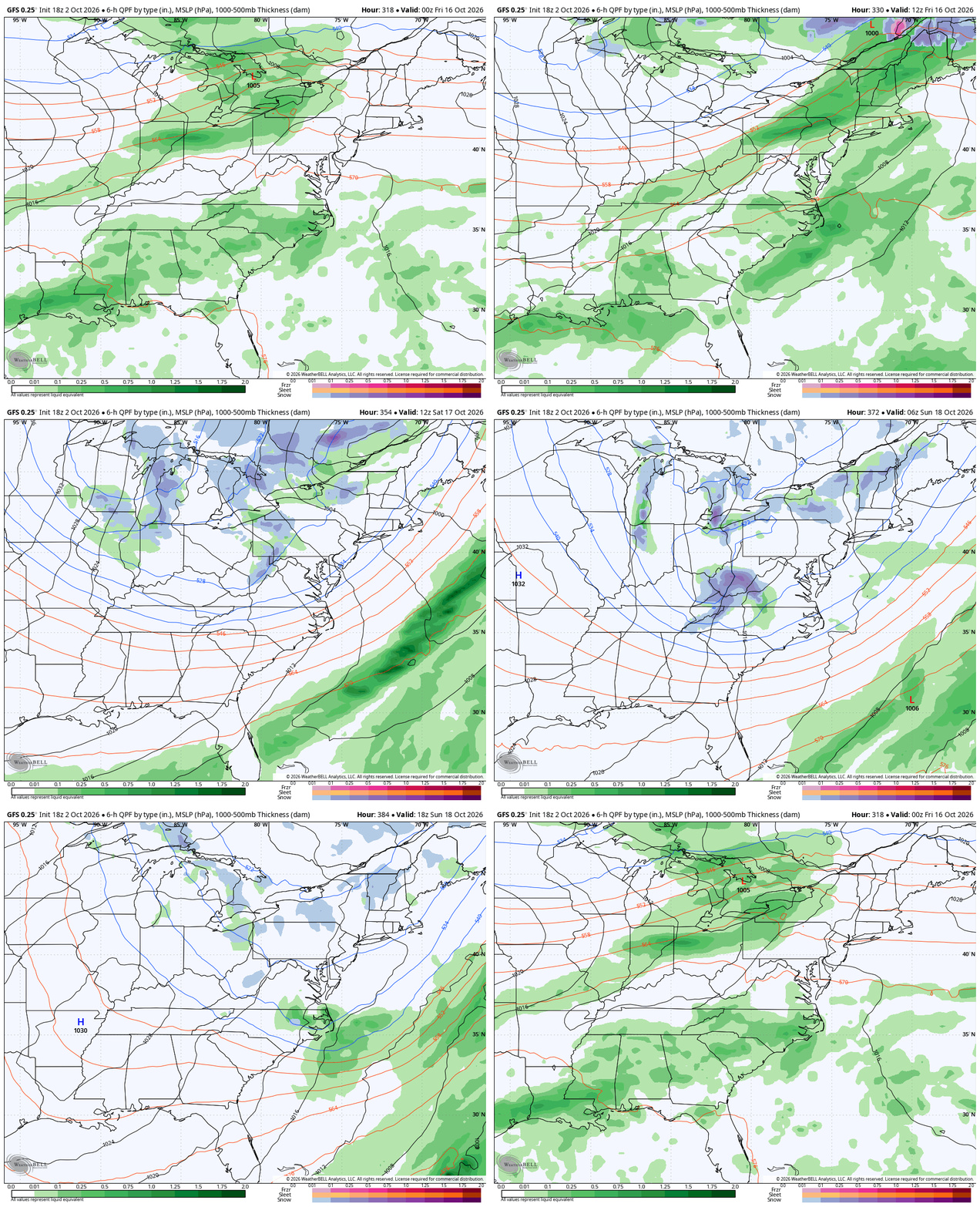
Obviously, the chances of flakes this early in October is very low, but not unprecedented. We actually had some flakes on October 18, 2022 if you recall.
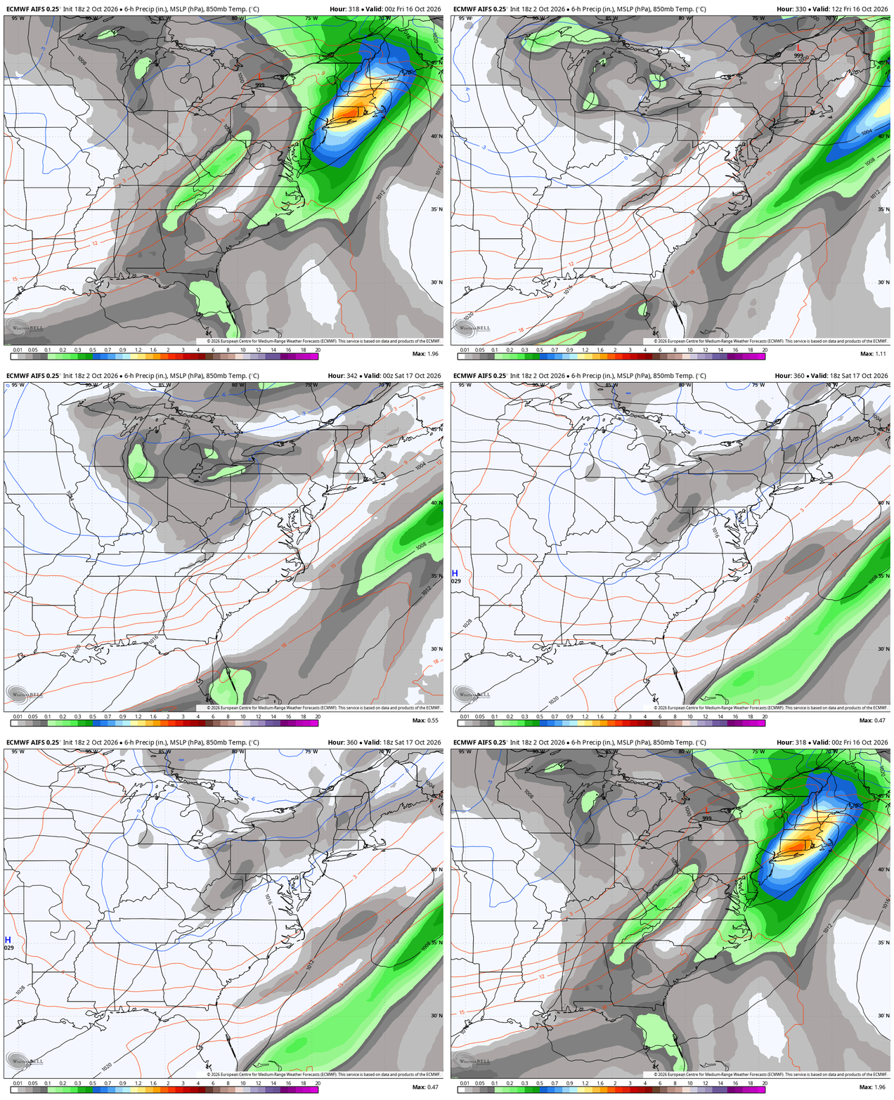
It is interesting the AI version of the EURO has a similar looking trough, but the model doesn’t show precipitation type…
As always, I leave you with your daily storm tracking toys…




Current watches

Possible Watch Areas

Make it a sensational Saturday and take care.

Thanks Chris. We only received .19 ” of rain yesterday afternoon. We are now much below normal for the year. Looks like October is finally settling into a true Autumn like pattern. I’m especially interested in how the trough and ridge pattern evolve heading into mid – month. As always, I’ll be watching to see how it unfolds.
Can’t wait until the September PDO reading comes out. If it should happen to go into the positive phase over the next few months, that could change the whole weather pattern across the Country, with the very strong El Nino at play it could be Snowy this coming Winter.
Near perfect Fall weather here in the Chicago Metro Area through at least next Friday, with sunny, mild days and clear, cool nights. Several days next week are predicted to break 70 degrees.
Leaves are finally showing signs of changing colors.
We picked up 0.30 inches of badly needed rain in BG yesterday.