Good Tuesday to one and all. Our amazing week of fall weather keeps on keepin’ on with awesome temps and dry skies. I continue to look ahead to changes for the final week of October with much bigger changes lurking once into November.
The weather this week into the weekend is perfection. Highs range from the mid 60s to low 70s with overnight lows ranging from the mid 30s to low 40s. Just a few high thin clouds show up from time to time.
All of this is because the weather is stuck in neutral behind a stalled storm system off the east coast…

This system slowly moves to the northeast in the coming days and has a chance to become tropical. The National Hurricane Center is monitoring this setup…

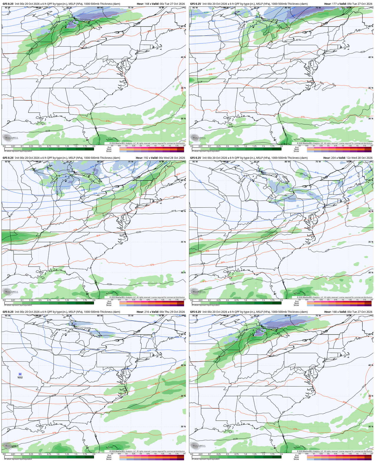
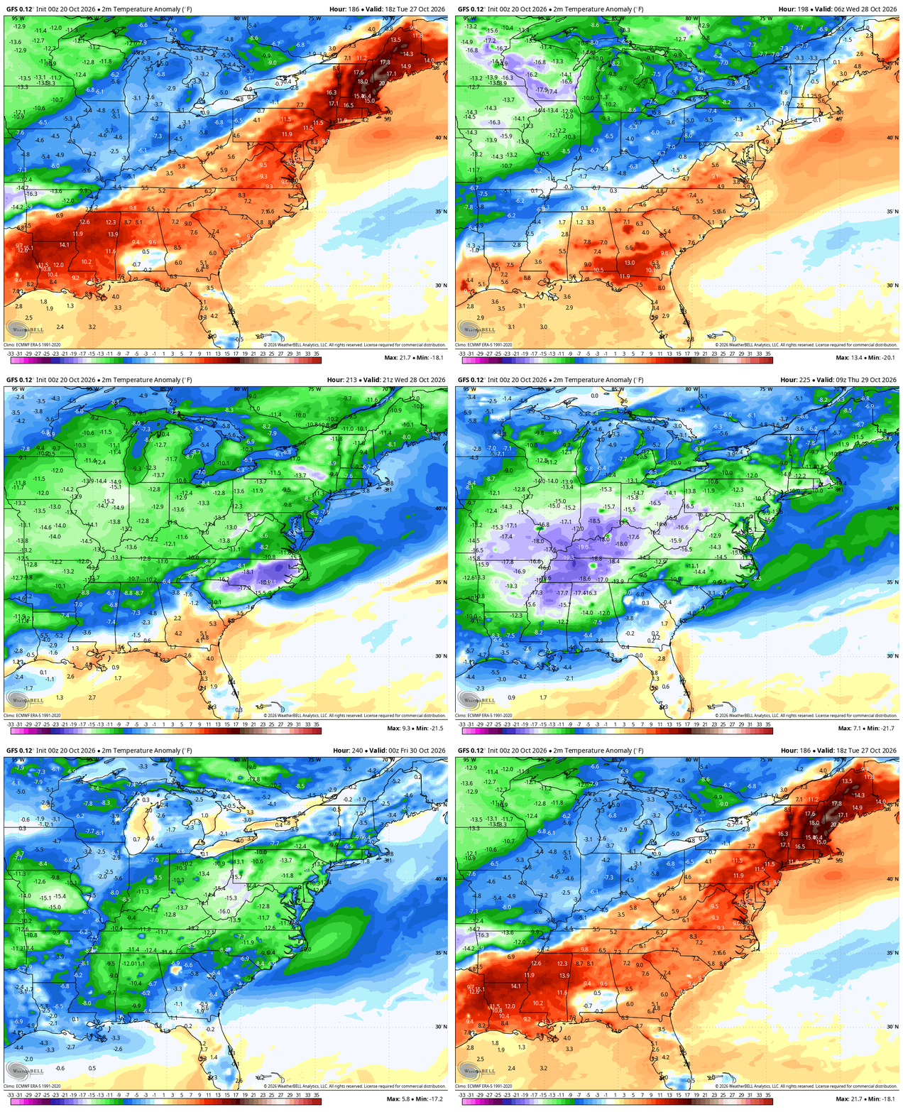
That system looks to be moving away a little faster than what it looked like a few days ago and the GFS was the first to pick up on that trend. The GFS is also no longer a fan of another system popping off the southeastern seaboard. This allows for a much more progressive and colder pattern next week…
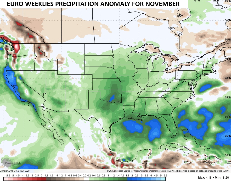
I continue to look down the road into November with a pattern looking much more active. The EURO Weeklies continue to show above normal precipitation for much of the country, including our region…
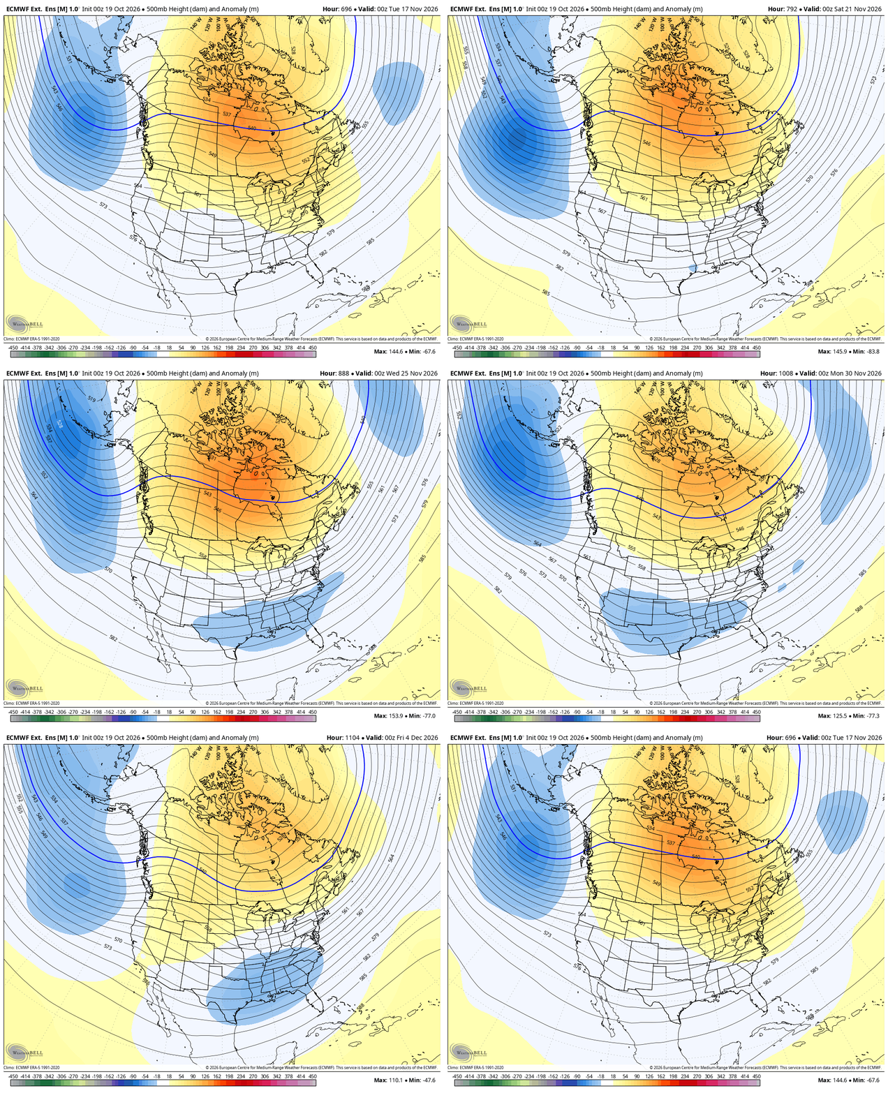
That could lead to a bit of a surge in the second severe weather season before the higher heights set up much farther north in Canada. That allows for troughing to show up under that across the Lower 48 from mid month on, including Thanksgiving Week.
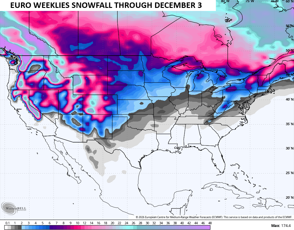
The EURO Weeklies have been advertising this for a while now and are really locking in on this change. This animation starts mid-November and runs through the first 3 days of December…
The snowfall map from this run of the EURO Weeklies suggests some early season flake chances…
Make it a terrific Tuesday and take care.

Still not buying the EURO weeklies hype.