Good Wednesday to one and all. It’s another winner of a weather day across Kentucky and the entire region as this great fall pattern rolls on. This trend looks to take us into the beginning of Halloween week before changes settle in.
We know the weather today through the weekend is just about perfect with similar temps to what we’ve had the past few days.
The weather is stuck in neutral partly because of this big low spinning up off the east coast…

This system is slowly spinning away from land and still can become something tropical as it does so…

From there, it’s all about the potential for another such system to develop off the southeast coast. If it develops, the pattern slows down again. If it’s kind of meh, then we get a few cold fronts to cross through here before Halloween.
As I continue to look ahead to November, nothing I’m seeing is changing my mind on a much more active setup. This active setup is likely to bring a severe weather threat and early season snow threat to our region at different times during the month.
The second half of November into early December continues to show up with blocking over Canada with a trough developing underneath. This animation runs from November 17 to December 4 and shows what I’m talking about…
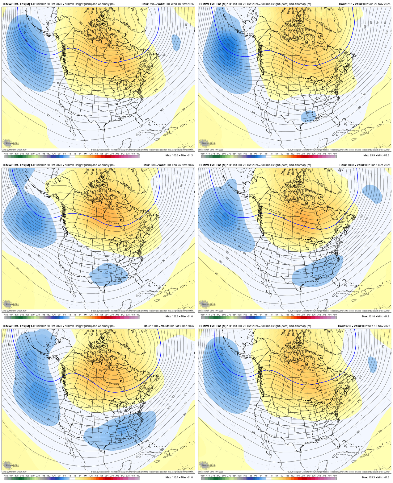
It’s interesting to note how the position of that trough to start December is precisely what the seasonal run from the EURO has been showing for December…
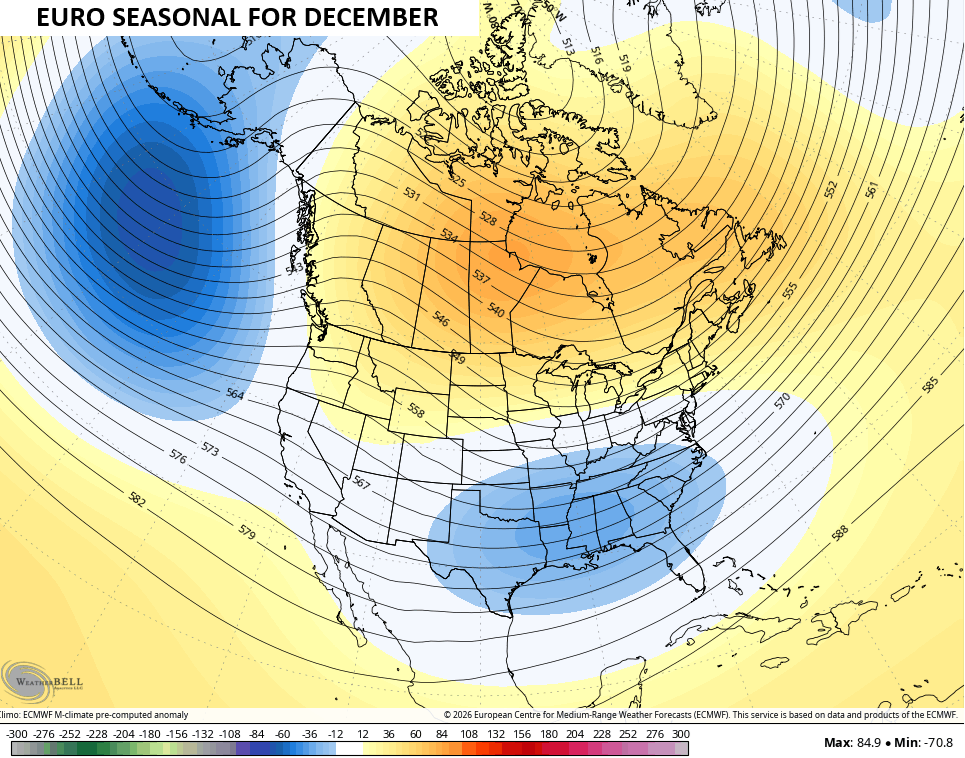
That’s some pretty good agreement from two different family members of the EURO.
Have a wonderful Wednesday and take care.
