Good Tuesday, everyone. On this Election Day, we have to say goodbye to an old friend as the NAM is being discontinued. While we mourn the loss of our dear friend, the weather show goes on as we track gusty winds and storms into the region.
NOAA is ending several models today with the NAM and Hi Res NAM being the big names of the cuts…
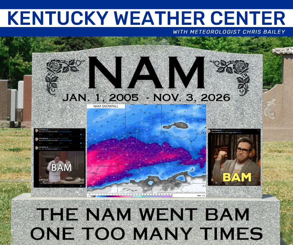
The NAM goes BAM became a signature line of mine over the years and might have been the most anticipated tweet in Kentucky weather history. RIP to the NAM Goes BAM…
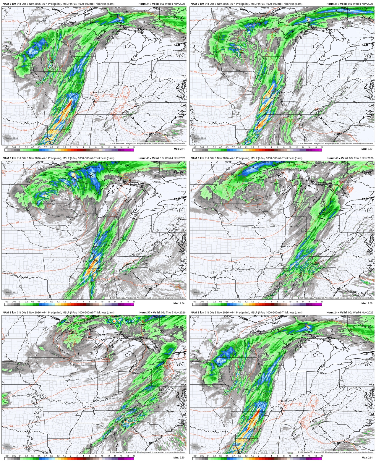
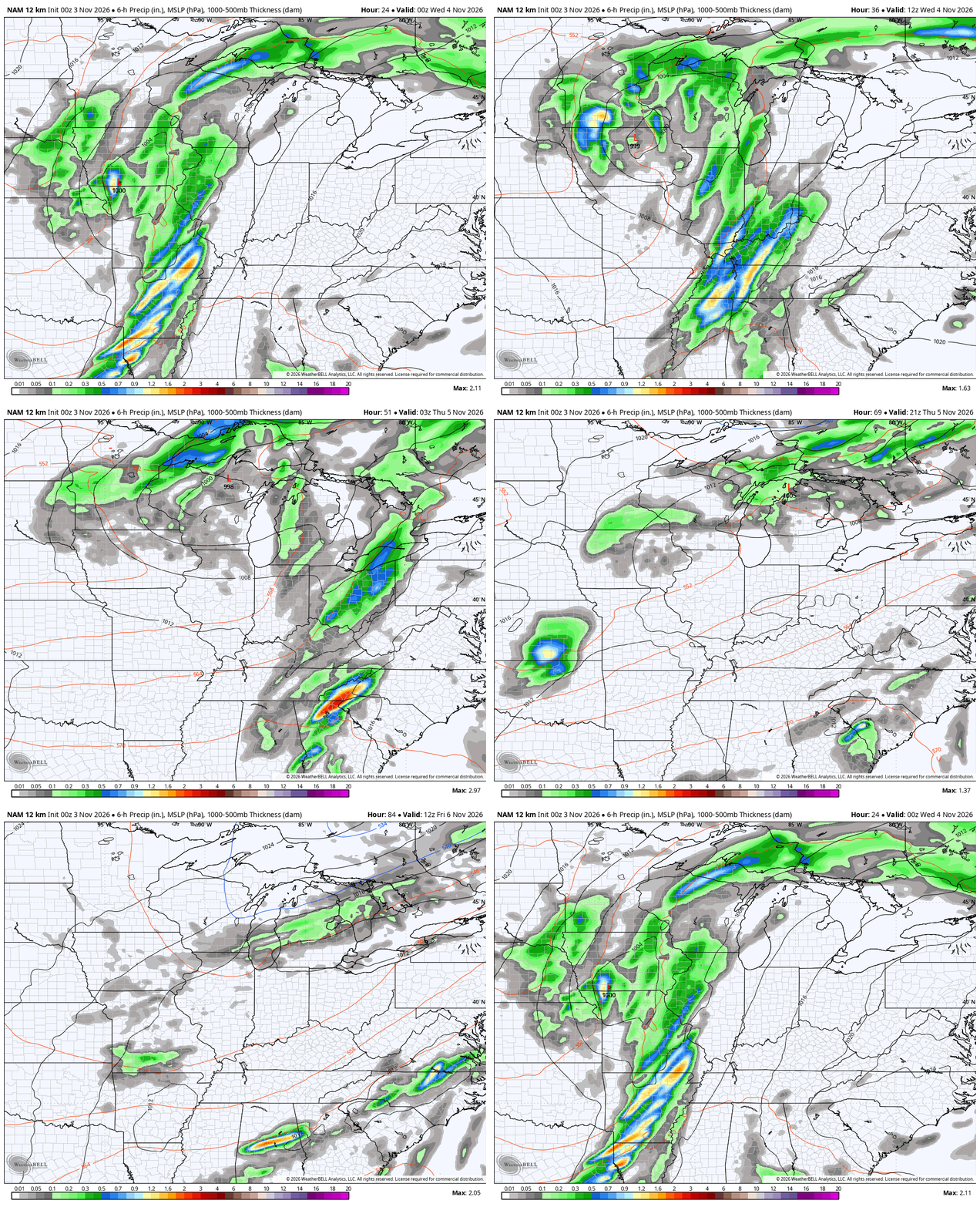
For the final time here on KWC, here’s what the Hi Res NAM and NAM are showing with the system moving in tonight and Wednesday…
Hi Res NAM
NAM
Sigh.
The showers and storms you see on the NAM Fam move into western Kentucky this evening then slowly roll from west to east across the state tonight and Wednesday. By Wednesday, the best chance for showers and storms will be the central and east. Some areas of central Kentucky can pick up an inch or two of rain.
There’s also the chance for a few strong storms. Here’s today’s Severe Weather Outlook from the Storm Prediction Center…

Here’s the outlook for Wednesday…

Another system looks to drop in from the north and northwest, bringing some cool showers in here Friday into part of the weekend. This isn’t a big system, but can produce pesky showers from time to time…
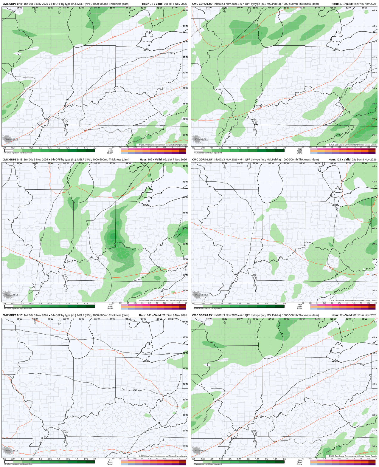
Highs this weekend are in the low and mid 50s and that trend carries us into early next week.
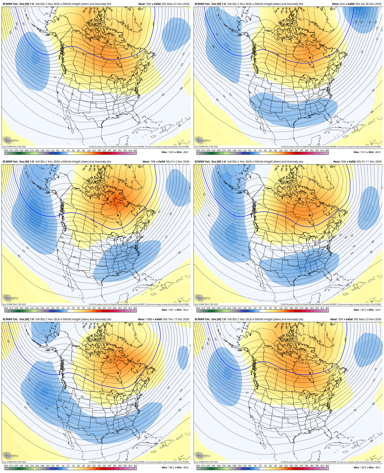
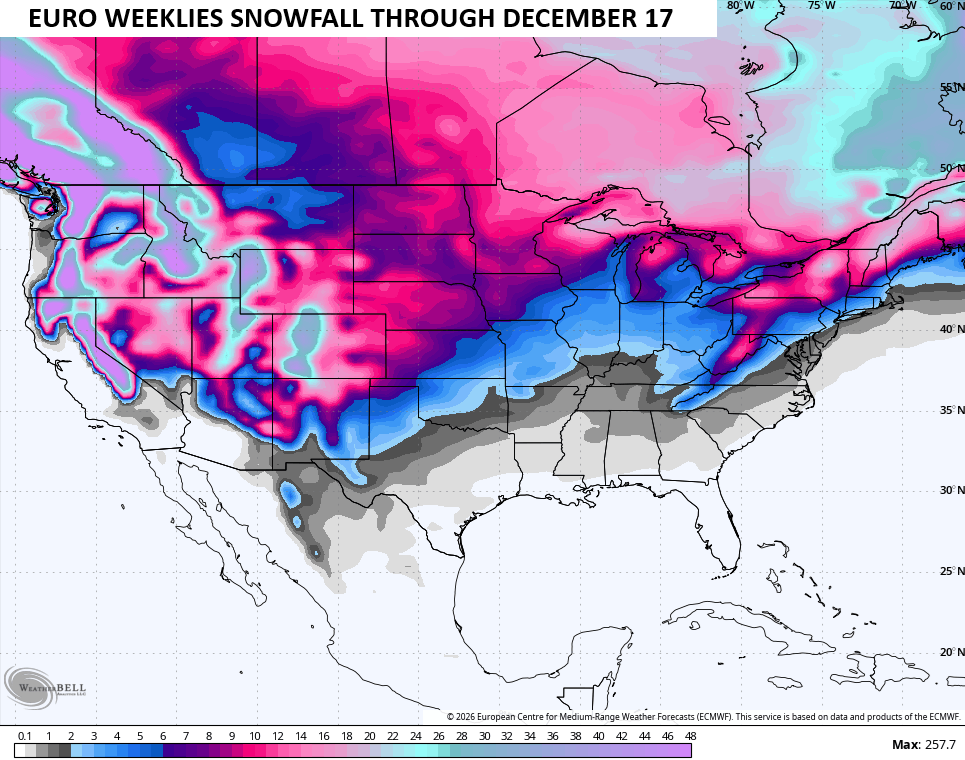
I have zero changes on the longer range with a change to a more winter looking setup later this month. That gets more established through the first half of December and the EURO Weeklies remain locked in on this…
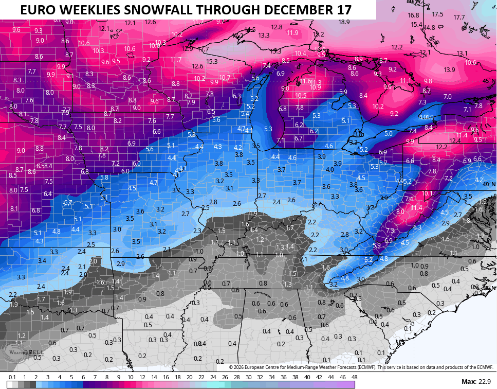
The snowfall potential still shows up…
I leave you with your Tuesday storm tracking toys…


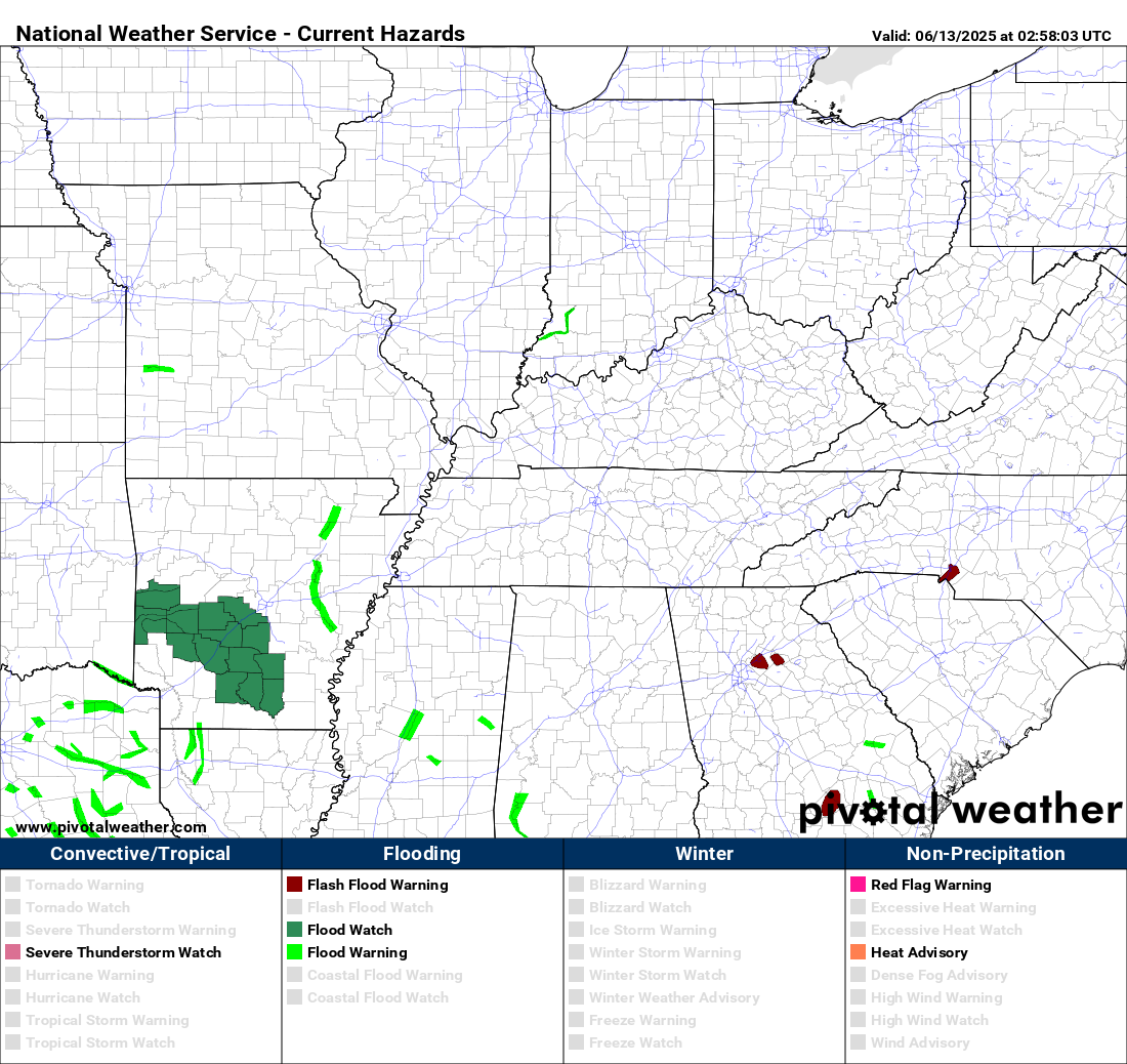

Current watches
Possible Watch Areas
Make it a terrific Election Day and take care.

How about getting rid of the EURO weeklies?
The snowfall estimate maps are consistently over optimistic, and in recent years they rarely, if ever, pan out for south central and western Kentucky. But the worst are the Temperature and Precipitation Outlooks and Seasonal Outlooks from the Climate Prediction Center, which rely heavily on historic trends. The atmospheric warming we’ve experienced in recent years, and especially the rise in ocean water temperatures has made those reports unreliable.
Look at the flooding in Florida and the Southwest into Colorado..Think maybe El Niño showing its hand early??..This historic El Niño is starting to couple and afraid it’s not gonna be pretty..