Good Thursday, everyone. We have a much more calm day out there today but another front is ready to blast in on Friday. This will unleash a seasonably chilly first weekend of November across Kentucky and surrounding areas.
The rains of Wednesday did not disappoint with many areas topping 2″ of rain, including Lexington. We picked up a record amount with more rain falling than the previous 53 days combined…
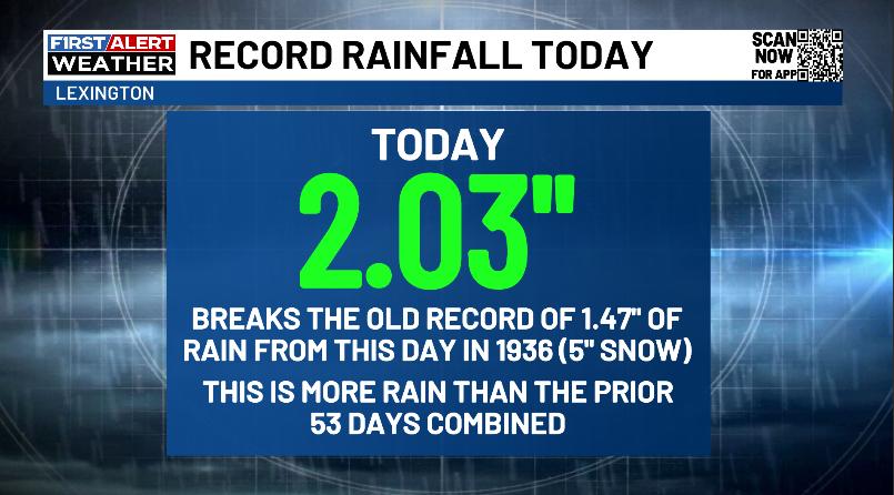
We do nothing small nowadays. It’s one extreme to the other, folks.
Temps out there today hit the 60s with skies becoming partly sunny.
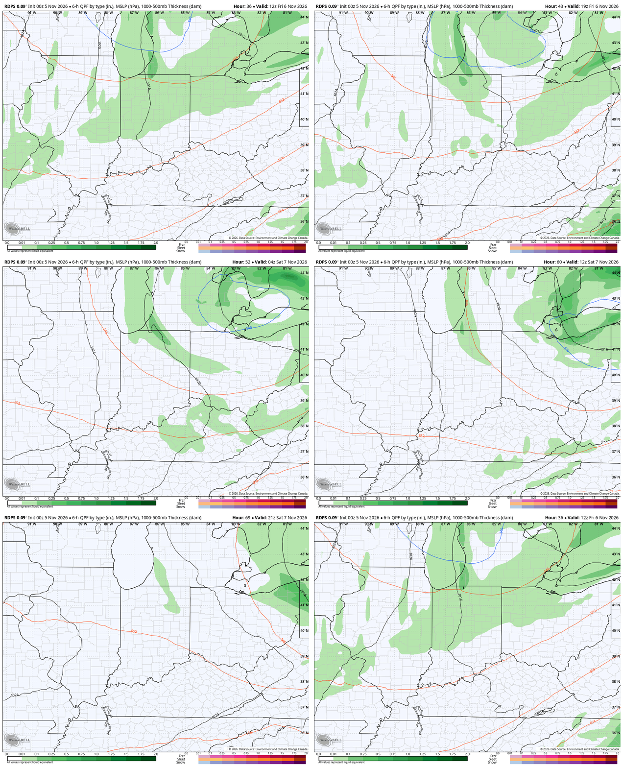
Another cold front drops in here on Friday, bringing clouds, winds, a few showers and falling temps. The showers are fairly scattered with the best chance Friday afternoon and evening…
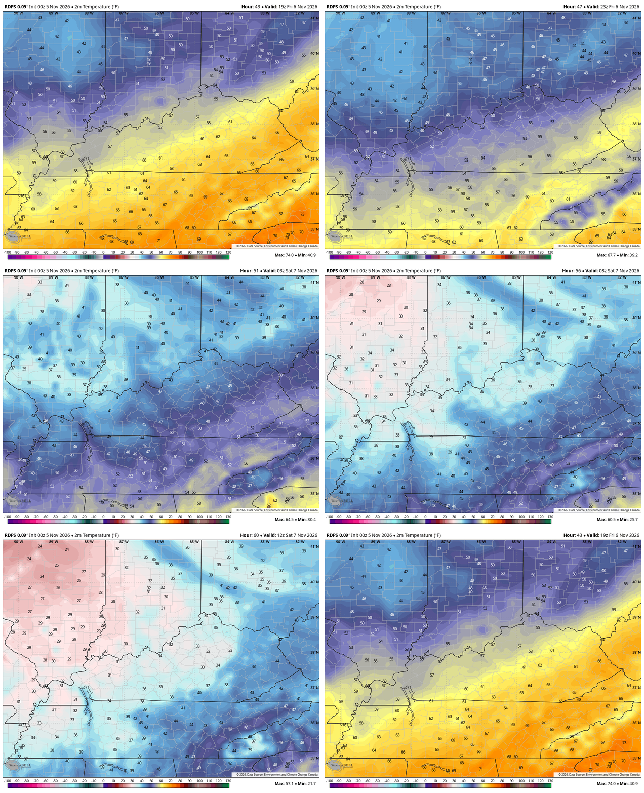
Temps drop through the 50s from northwest to southeast Friday afternoon with readings in the 30s by Saturday morning…
Clouds linger into the north and northeast on Saturday and that may keep temps from getting to 50 in some areas. Otherwise, temps hit 50-55 in many areas on a chilly northwest wind. This sets the stage for a cold Sunday morning with readings in the upper 20s for many.
This temp animation starts Saturday afternoon and ends Sunday morning…
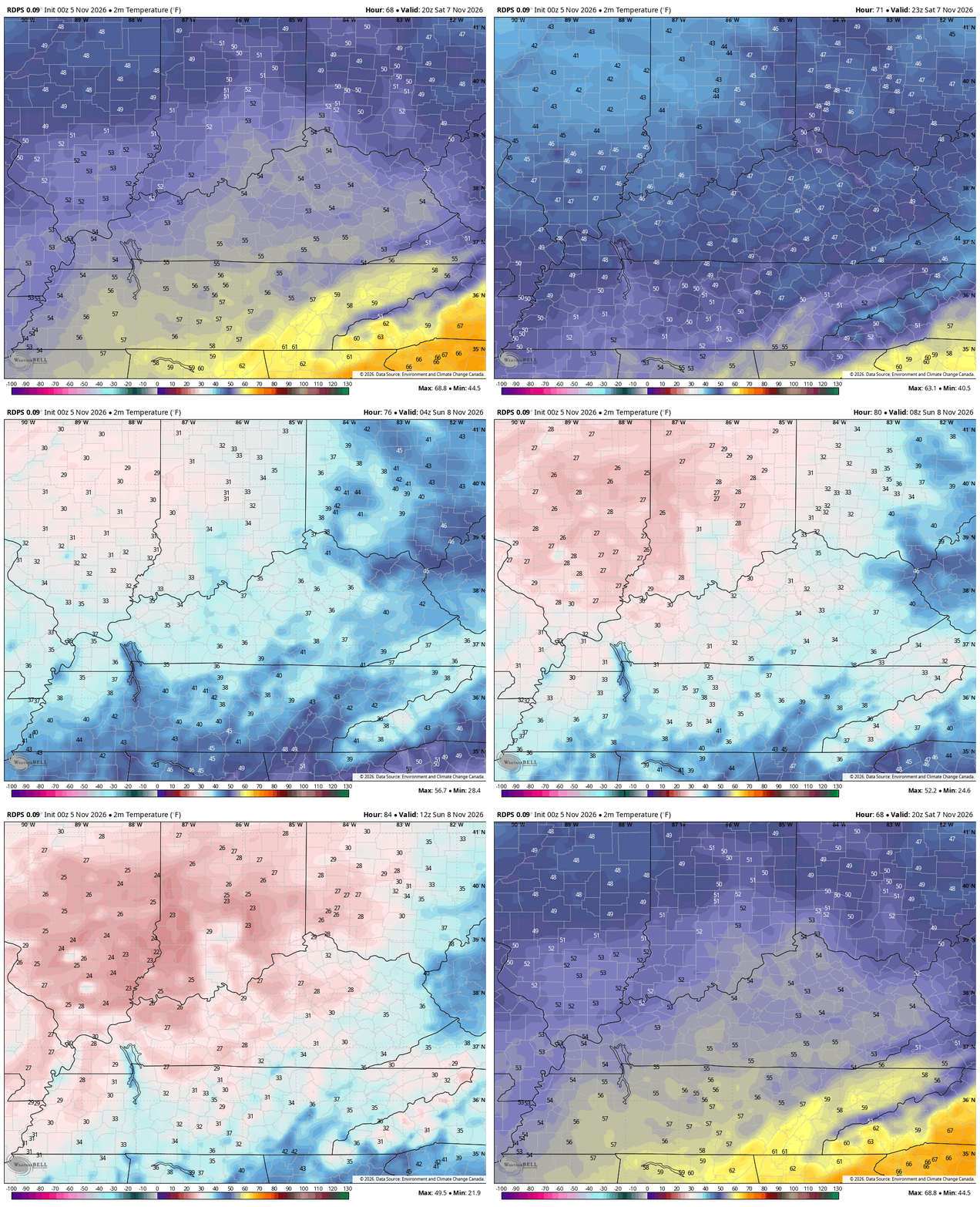
Highs are back in the 50s for Sunday with temps up just a few degrees for Monday. Temps come up a bit after that but another deep trough looks to div into the eastern half of the country. This one is more northeast of our region, but it could usher in even colder air than this weekend. The GFS even has a little bit else dropping in here…
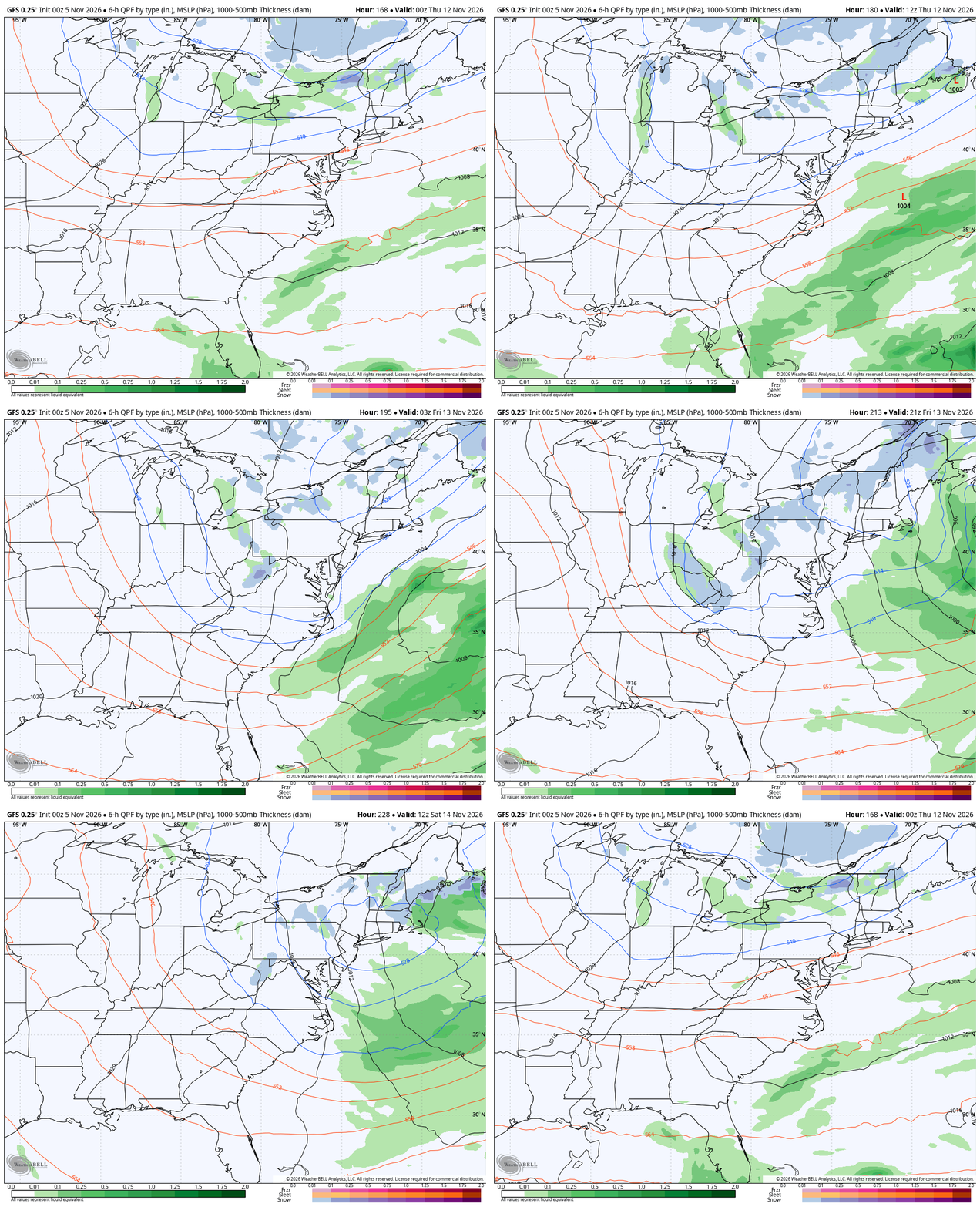
I know you’re shocked by this, but I have absolutely no changes to my thoughts for the second half of November into December. That pattern continues to be primed for a change to one that can deliver early season winter weather for our region.
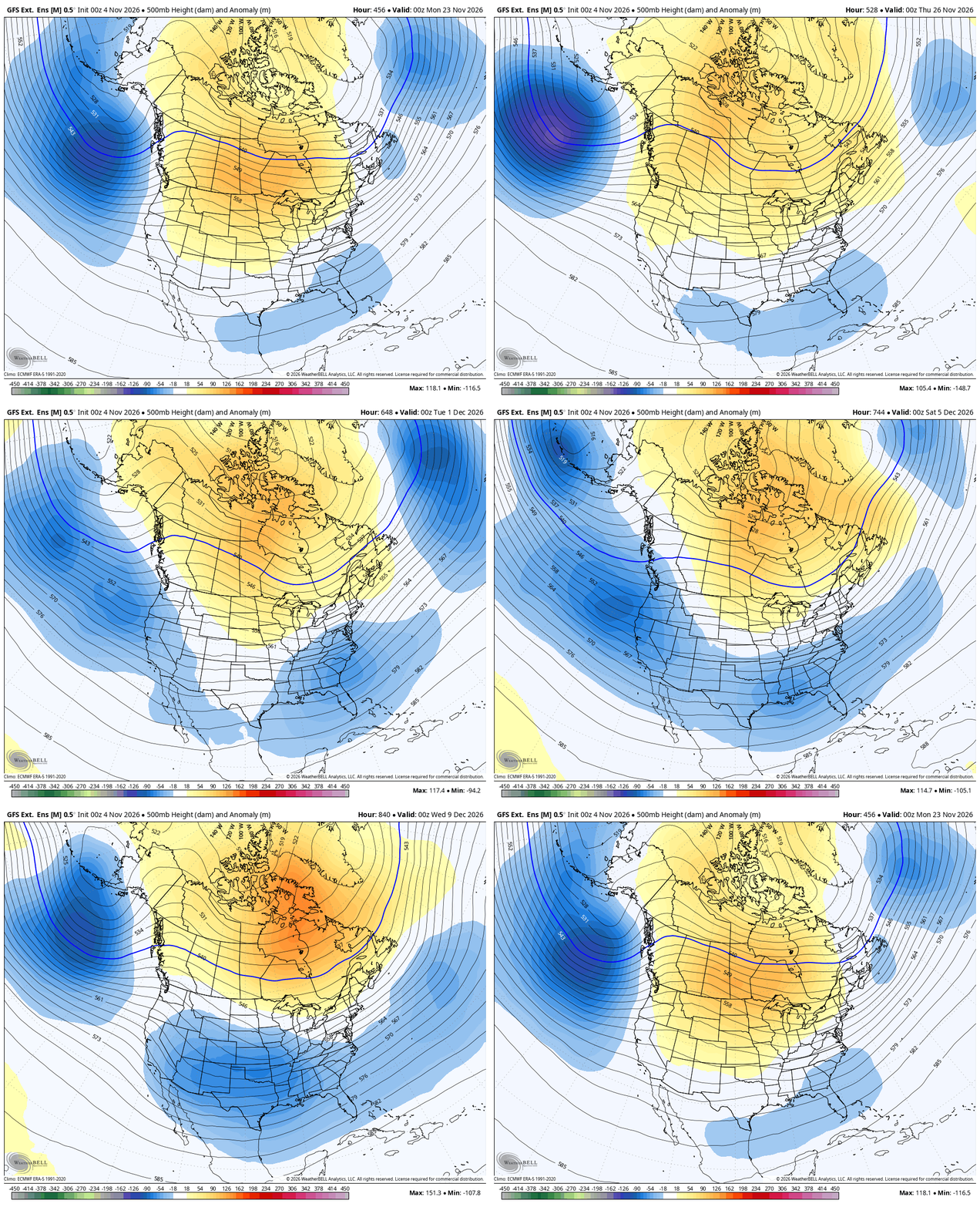
For those regular readers, I’ve talked a ton about this for the past several weeks and the extended models are pretty locked in on this. The latest GFS Extended shows the positive heights showing up from Canada to the Arctic with a deep trough settling in underneath it in our region. This animation runs from mid-November through December 8th…
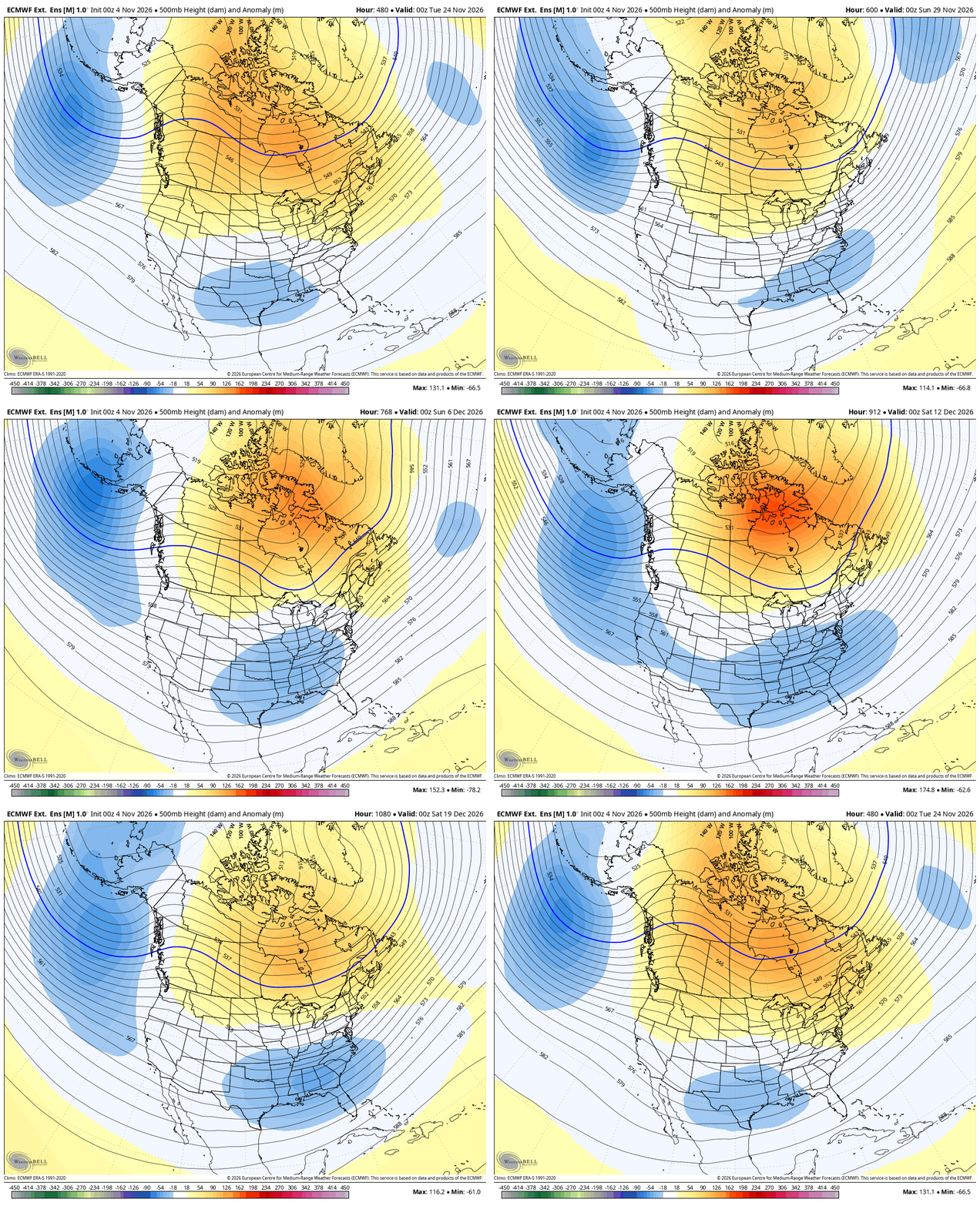
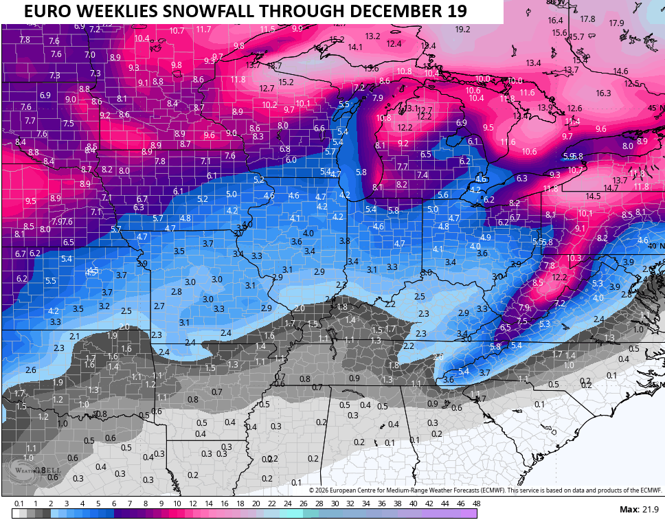
The EURO Weeklies go all the way through December 19th and look similar…
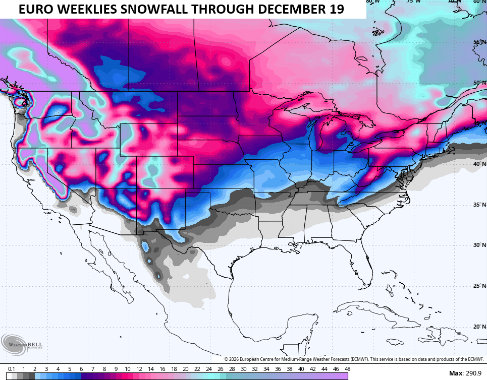
The winter weather potential continues to show up…
I leave you with your radars to track any lingering early day shower action…

Make it a great Thursday and take care.
