Good evening, folks. We’re putting the wraps on a very warm Tuesday as we eye some big changes on the way for the next several days. This pattern can bring a few strong storms before a bit of a winter look and feel settles in.
The first of two fronts’ races into the state late Wednesday afternoon and evening. This will bring a broken line of showers and storms rumbling in from west to east during the evening. The future radar from the RRFS picks up on this line well…
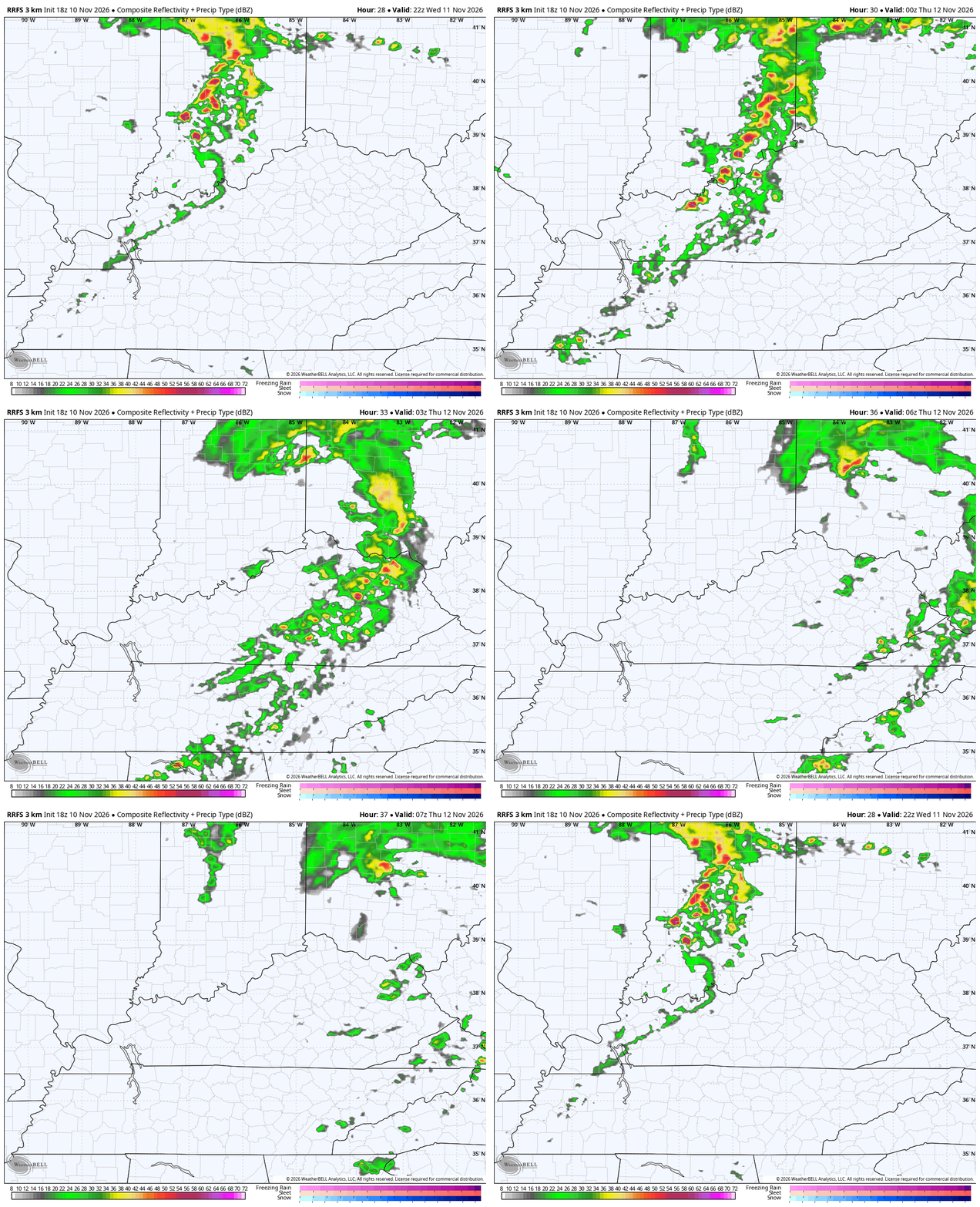
The Storm Prediction Center has a low-end risk for a few severe storms across western and central parts of the state…

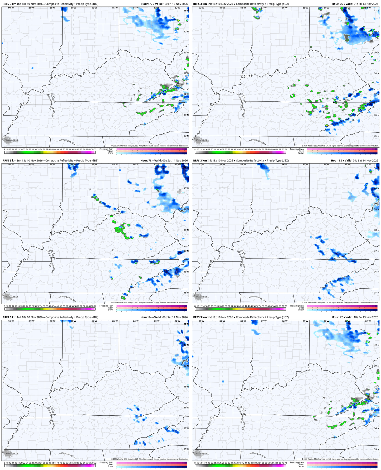
Gusty showers and seasonably chilly air come in behind this for Thursday with the a stronger shot of cold air arriving Thursday night into Friday. That’s when a few more showers show up on a strong northwest wind. Some rain and snow showers will be likely across the high mountains in southeastern Kentucky to begin Friday.
This strong northwest wind will spit out a few bands of rain and snow showers across central and eastern Kentucky late Friday into Friday evening. The RRFS Future Radar is picking up on these…
I’ll see you crazy kids back here tonight for the full update. Enjoy the rest of the evening and take care.
