Good evening, folks. A line of strong to locally severe storms is rolling across Kentucky right now and this is the beginning of our wild weather ride. It’s a ride that ends with the first snowflakes of the season for some on Friday.
The Storm Prediction Center continues with the threat for a few severe storms this evening across western and central Kentucky…

These storms will usher in chilly winds for Thursday with a few showers on the move. The next front then slams in here late Thursday, setting the stage for a few rain and snow showers for Friday and Friday night.
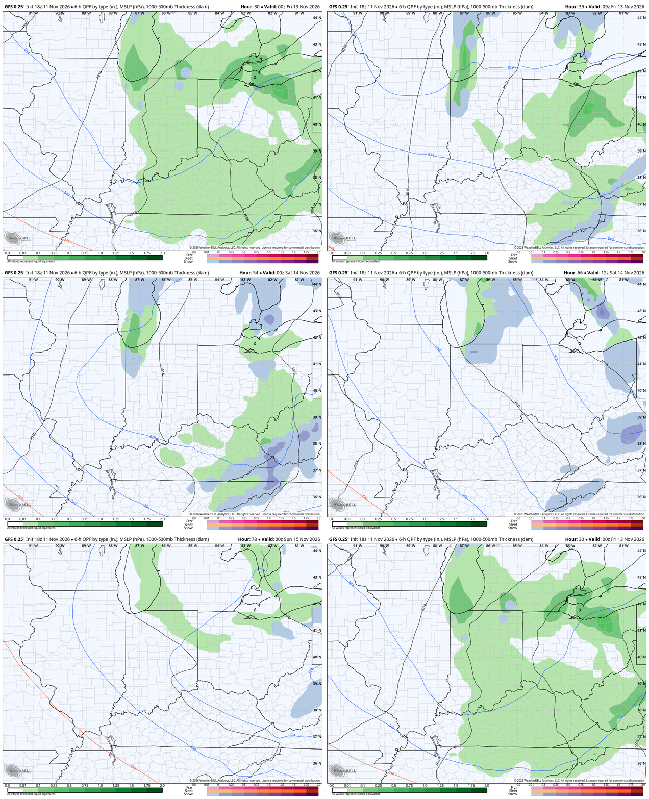
The models never have a good handle on a northwest flow like this, but they try. Here’s the GFS from Thursday evening through Saturday evening…
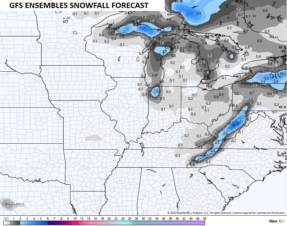
The best chance for flakes is across the eastern half of the state with the chance for some light accumulations in the high ground of the far southeastern Kentucky mountains…
As always, I leave you with your daily storm tracking toys…


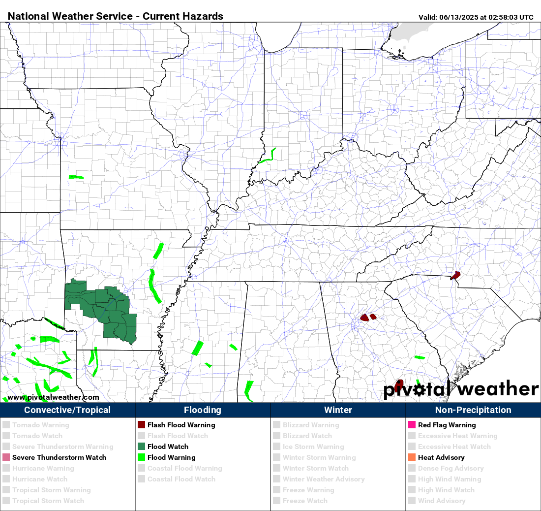

Current watches
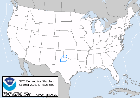
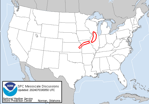
Possible Watch Areas
Make it a wonderful Wednesday and take care.
