Good Thursday, everyone. Strong and severe storms continue to slowly pull away from the bluegrass state. These storms have created quite the mess with wind damage reported in many areas. Much better weather will take over as we head into Memorial Day weekend. Lower temps and drier air will combine to make for ideal conditions in the coming days. Don’t expect things to stay that way for long… I’m seeing some muggy air rolling in to end the weekend.
Let’s start with today and roll forward. Scattered showers and thunderstorms will continue to be possible today as a cold front drops into the region. These storms will still pack a bit of a punch early on, but will slowly fade to our south as the day wears on. We may need to keep a close eye on far southern Kentucky for another round of afternoon storms trying to pop. Highs will top out around 80.

Current temperatures

Friday looks absolutely fantastic with low humidity levels, mainly sunny skies and temps in the low and middle 70s for highs. That nice weather should carry over into Saturday with temps in the upper 70s to near 80 and mostly sunny skies.
Sunday will find a little more humidity pushing into the state as temps reach the lower 80s. It’s int Memorial Day when the flow really becomes rather warm and muggy…
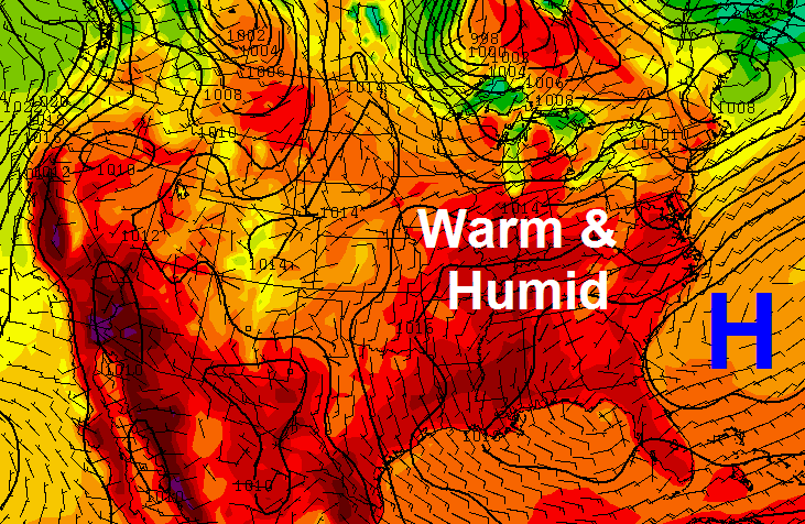 That could send temps into the mid and upper 80s for Monday afternoon…

The warm muggy weather looks to last into the middle of next week and I could see a few spots getting close to 90 degrees… especially in the west and south. The muggy air will lead to a daily threat for scattered showers and storms.
Have a great Thursday and take care.

hate what happened to clay building supply due to storms last night. lightning is believed to hit a propane tank, causing the buisness to burn to the ground. the building was once dobson’s feed store years ago. had a friend who had a tree fall on his truck in jackson county during last nights storms also. was reports of trees powerlines down all over clay/laurel and jackson countys.
i figured once we got black berry winter out of the way, it would get hot. from the outlook i was right.
thanks chris .
You think London will get a second round? On our side of the county
It wasn’t too bad. But I know as soon as I get to my car it’s going to storms..always does!
Areas of Knox are also without power
My power is finally back on after 10 hrs
Bring the heat!!!
I tend to agree, although mid-80’s are unusual for Memorial Day week and honestly a tad bit toasty for even my taste. Would prefer those hold off a bit longer. Still, it’ll be better the 50’s I suffered through last weekend!!
Had 2.2″ in the rain gauge this morning in northern Jessamine. Had a lot of pea sized hail during the storm and the wind was horrible. It brought down a neighbor’s tree and several big limbs.
About 1 inch of rain in east frankfort last night, no storm damage just lots of lightning and a little wind gust or two, waiting on that cooler air, it is still very muggy out their today!
Very interesting dewpoints right now…definitely a cool front somewhere in the northern part the state. Where I’m at the dewpoint is 50 but I”m seeing upper 60’s in Central Kentucky and low 70’s in parts of Western Kentucky.