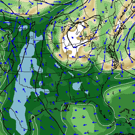
Good Wednesday, all. The warm and humid pattern shows no signs of letting up and may be trying to lock in as we head through early June. That will also mean there will be no shortage of showers and thunderstorms to go along with the steamy temps. This could end up being a very stormy pattern that leads to high water issues.
Scattered showers and storms will crank back up today with readings into the 80s. Any storm that goes up will have a ton of lightning and torrential rainfall. Isolated severe storms will be possible with hail and high winds the main threats.

The same forecast is likely to play out for Thursday and much of Friday. As mentioned, these storms will pack a big time punch of heavy rain that could cause local high water issues. As a matter of fact, I will be very surprised if the setup through next week doesn’t provide some areas with flash flooding. This has that kind a look to it.
We may try to squeeze out a small break by Saturday as slightly drier air punches in from the north…
 Don’t let that fool you because the humid air returns very quickly by Sunday into early next week…

Those are some serious dewpoints that will aid in additional rounds of booming showers and thunderstorms.
I’ve been talking about how the models are trying to develop something tropical in the Caribbean or Gulf of Mexico over the next week and change. They are still doing just that and the GFS tries to give us a taste of it…

That’s a long ways out, but it’s interesting to see this early in the season.
Have a great day and take care.

Hopefully my area of frankfort will get a shower or storm today, last Wednesday was the last rain I’ve seen here and that was 1 inch.
Not dry yet but this area is known for missing the rain in the summer months while areas close by are having flooding?
That’s the thing with this type of pattern. The activity is so scattered, one area can get five inches of rain, while the next county over gets not a single drop. It’s crazy..
Seems to be doing that today, just a few areas getting the storms, can’t see this being a 60% coverage type day that is currently forecast?
On Q, Frankort has got two drops of rain today but all around us heavy rains have been going on!
Yep I’m complaining already!
where is my Alaska Blocking
where is the cooler dryer air.
I see that one forecasting site has Louisville at 99 degrees next week.
oh boy I cannot wait.
it is going to be a long long long long hot summer.
back of my neck getting dirty and gritty.
I’m no fan of polar vortex cold but I deal with it.
it’s really not the heat that bothers me.
it is the sauna in the air that I cannot deal with.
okay I am the summer version barb on the hill during the winter.
I will persevere. I got my air conditioned to protect me.
Besides the humidity, I’m likin’ the weather. Not too hot…but enough moisture to stir up some thunderstorms just about every day. Can’t complain given we’re practically in meteorological summer now…
Rain around the county here. Saw one of those Twitter pics with a flooded road here. My area, 87 degrees and no rain that day. Still, no rain today. My wife said it rained while she was at work really heavy and it was much cooler there than it was here at home. Really need that rain to hit here but only thunder a few times the last couple of days. Ditch across the road actually has dried out completely. Crazy stuff.
Overall I have not had much complaints with temps. We have not even ran the AC at all this year. If things continue we may just not run it at all. Kids have not minded at all and it has been nice to always have the windows open.
Been a while since I posted but I always read your forecasts daily Chris. Absolute best way to get my weather forecast.