Good evening everyone and thanks for checking out the blog. As expected… the severe weather threat is increasing this evening into the overnight hours as a strong cold swings in from the west. A Severe Thunderstorm Watch is now out for much of central, northern and western Kentucky until 2am.
Here is a look at the counties included in the watch…
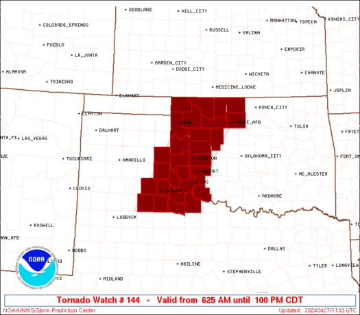
Current Warnings

Damaging winds and large hail are the big players with this squall line of storms. You can track this line into where you live with these radars…


I will have additional updates as needed and will also use twitter to get out the weather word. You can follow me @Kentuckyweather .
Take care.

Wow, that’s a long, straight line front moving in. Moving fast, too.
Skinny little line but it looks strong. I hope whatever severe weather it brings moves out quick.
THanks Chris!! Will we in eastern Ky get severe weather including tornadoes?
Looks like Lexington about 9:00 or 9:30?
I would think much later than that.
Agreed. More like midnight.
Looks like it is breaking up some.
I agree. Looks like it may be just showers soon.
I sure hope so. :))
Wendy you live in mercer county? I live in Burgin
Yeah, west Mercer near Cornishville.
Lookslike another line of Storms forming SW of LEX
very strong winds here in the cincy area
SEVERE THUNDERSTORM WARNING
KYC199-203-080330-
/O.NEW.KJKL.SV.W.0022.100508T0301Z-100508T0330Z/
BULLETIN – IMMEDIATE BROADCAST REQUESTED
SEVERE THUNDERSTORM WARNING
NATIONAL WEATHER SERVICE JACKSON KY
1101 PM EDT FRI MAY 7 2010
THE NATIONAL WEATHER SERVICE IN JACKSON KY HAS ISSUED A
* SEVERE THUNDERSTORM WARNING FOR…
NORTH CENTRAL PULASKI COUNTY IN SOUTH CENTRAL KENTUCKY…
ROCKCASTLE COUNTY IN SOUTH CENTRAL KENTUCKY…
* UNTIL 1130 PM EDT
* AT 1056 PM EDT…NATIONAL WEATHER SERVICE DOPPLER RADAR INDICATED A
SEVERE THUNDERSTORM CAPABLE OF PRODUCING QUARTER SIZE HAIL…AND
DAMAGING WINDS IN EXCESS OF 60 MPH. THIS STORM WAS LOCATED 6 MILES
NORTHWEST OF WOODSTOCK…OR 15 MILES WEST OF MOUNT VERNON…AND
MOVING EAST AT 60 MPH.
* THE SEVERE THUNDERSTORM WILL BE NEAR…
MOUNT VERNON…AROUND 1110 PM EDT.
OTHER LOCATIONS IMPACTED BY THIS SEVERE THUNDERSTORM INCLUDE SAND
SPRINGS…SAND HILL AND LIVINGSTON.
Small storm with a big punch heading towards Lex ETA about 40 minutes
Torrential rains and a lot of strong wind with this storm is southern Anderson!!!
Downpour, strong winds, and lots of lightning here in Winchester.
Lots of wind, but no rain or lightning/thunder in Richmond tonight.
Not complaining, but where’s the thunder and lightning? 😉 We can obviously do without the rain.