Good Friday everyone and welcome to the weekend. We have highlighted today for the threat for severe weather since last weekend and it appears the threat for severe thunderstorms is on the increase for late today into the evening hours.
A strong cold front will swing through here from west to east this evening into the overnight. The dynamics will be in place ahead of the front to produce a squall line of thunderstorms that will come racing in here from the west. The potential for a few renegade supercell thunderstorms ahead of this line that we will have to keep an eye on as well.
Here is the latest severe weather information from the Storm Prediction Center…
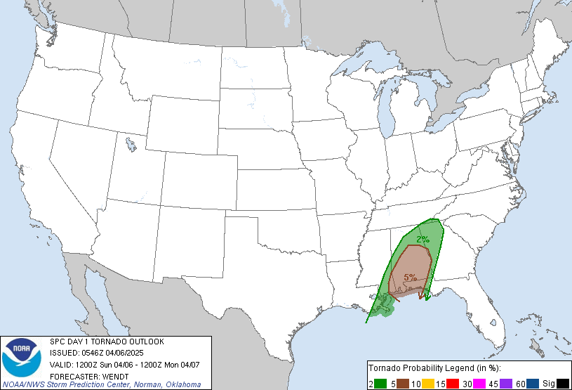
Tornado Risk

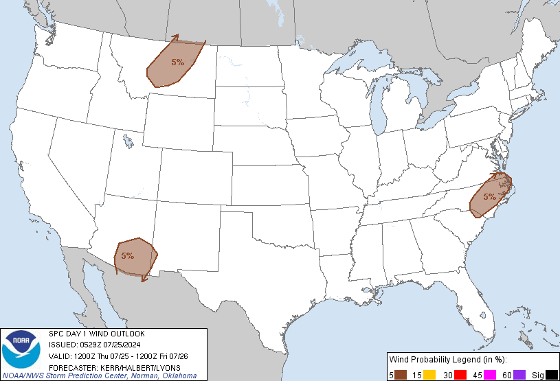
Damaging Wind Risk

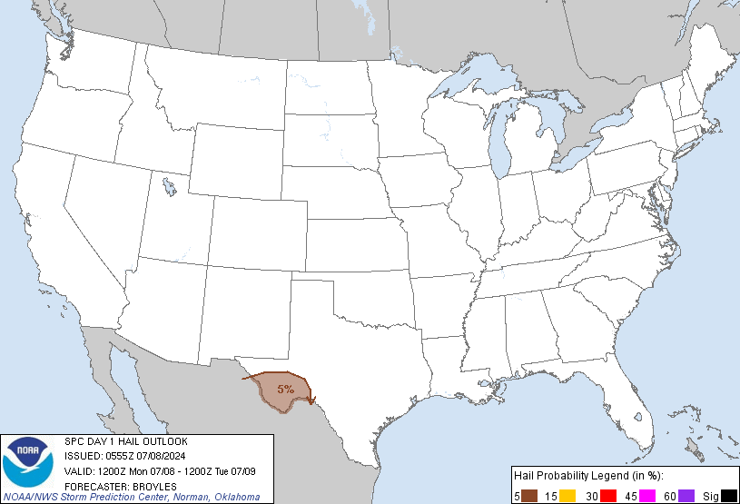
Hail Risk

This front has quite the temp contrast to feed upon. Highs today will soar well into the 80s across the entire region as southwesterly winds REALLY crank. Gusts today may hit 30+mph at times and that is outside of any thunderstorm action. Temps behind the front will drop big time as highs for Saturday afternoon will struggle to get into the lower 60s in many areas.
The prime time for severe weather would be late afternoon into western Kentucky then during the evening/early overnight hours for the rest of the state. Damaging winds and large hail will be the main players. If a few supercell thunderstorms get going ahead of this line… the potential for a tornado will be a bit higher.
I mentioned the cool weather ahead for the weekend as highs both days struggle in the low 60s with gusty northwesterly winds making it feel quite brisk. Sunday and Monday mornings could see a few upper 30s for lows if skies are clear.
I am keeping a close eye on the pattern for next week as the potential for heavy rain producing thunderstorms will be starting late Monday into early Tuesday. The GFS continues to show the heavy rain and strong storm threat on a rather consistent basis. Here is what it is showing for rainfall totals from Monday night through Thursday morning…

So.. the overall weather pattern is cranking back up again giving us plenty to track over the next week. I will update tonight’s severe weather threat as needed so make sure you check back for updates.
I will also use twitter to send out some quick updates and you can sign up to follow me @Kentuckyweather . Those updates also appear in the top right hand corner of this blog.
Have a great Friday and take care.

That QPF map is very disturbing considering we have several folks still cleaning up from this weekends floods around the state. 2-4″s of rain will not help the situation one bit :(.
Thanks Chris
Hard to believe after ALL that rain Lexington is STILL below “normal rainfall” for the year. I guess it’s relative. Say we had NO rain whatsoever for three four solid months, then we got six inches of rain in may, we wouldn’t need anymore rain for a while, even though we are way below normal for that year.
That said, let’s hope we don’t get anymore for a while and give people time to clean up and dry out.
Hey-if u guys were taking bets-do u think we will have more frost? im’ dying to start planting flowers but don’t want to take a chance on frost!!
Please no more rain for awhile! I hope this doesn’t turn out to be a rainy summer.
Wow, those rain totals are scary considering this will be a quick event and not last all day. Rain will have to come down pretty hard for a short time. As much rain as we got last weekend it seems strange that the ground at my place is already hard and cracked like it hasn’t rained in a month.
Hope everyone stays safe this evening.
Not looking forward to severe weather tonight, but DEFINITELY not looking forward to waht the GFS is showing for next Monday and Tuesday…we really do NOT need that kind of rain, especially now.
ATM, it is a beautiful morning, and we have a temp of 65 degrees now, with sunny skies. Going to enjoy it whie I got it! Have a gREAT Friday, all, and Chris, we know you are watching everything, so thanks in advance!
I talk about my take on this severe weather on my site. just click on my name.
I think the severe storm threat in KY tonight is overshadowed by the GFS continuing to indicate VERY rainy weather for the remainder of May. Flooding may come back next week.
First of all, no idea where you are. I can speak only for those of us here in central KY, we’ve had flowers blooming for several weeks now. Irises are in full bloom along with many other types. I think it would probably be safe to plant if you are anywhere in Kentucky, other than on a mountain top. It would take sometime before the plants broke soil anyway. just my opinion
I think we need a rainy summer. It would be nice if it didn’t all come at once though. I still have a huge hole in my ceiling, resulting from Sunday’s rain.
Severe Thunderstorm Watch #144 is now in effect until 2:00AM EDT. I expect Chris will have an update out shortly. 🙂
Here’s a link to Univ. of Ky College of Agriculture “Last freeze dates” for all areas. Hope this helps! If you are in London, latest freeze is 5/27. Lexington is 5/10. http://www.uky.edu/Ag/GrainCrops/Briefs/freezedates.htm