Good Wednesday everyone. We will have a heck of a warm and breezy day out there across the region ahead of a cold front that makes a run at us later tonight. This front is likely to bring a line of showers and thunderstorms racing southeastward with it and some of these will likely be strong. The question is… can they hold together and get into our northern counties?
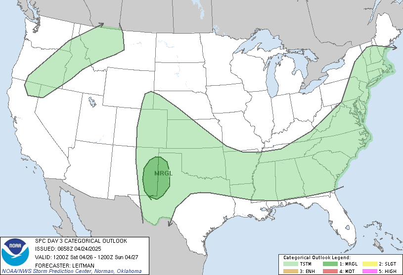
That is what we will be watching for tonight. You can see that the Storm Prediction Center does have the severe threat JUST to our north…
You can track this line in our direction by using the regional radar…
Again.. I think it will be a close call for our northern counties tonight! In terms of temps… readings today will soar well into the 80s as winds kick up ahead of the front.
That same front will put the brakes on across the region by Thursday… but should not have much action with it as the day looks dry. Highs will come down a few degrees with upper 70s looking good.
That same front swings to our north as a warm front early Friday allowing for temps to make a run and mid and upper 80s. Winds will again be gusty as low pressure winds up across the plains and heads quickly toward the Great Lakes. This will drag a front in here Friday night and this front should be pretty active with a squall line of thunderstorms along it. You can see this showing up nicely on the NAM radar forecast for Friday evening and night…

Again… the best dynamics will be across the northern counties and the Storm Prediction Center has a large chunk of our region in the risk area…

Behind the front.. A BIG push of chilly air moves in for the weekend. Highs will struggle to get much past 60 for both Saturday and Sunda. If we have clear skies Sunday morning… some upper 30s will show up.
The warm air does not want to go away quietly though and will try to fight back in here early next week. Unfortunatly… this may set the stage for some heavy rain producing rounds of showers and thunderstorms. Here is the GFS…
Monday Morning

Monday Afternoon

We really don’t want to see that scenario play out… so we will keep a close eye on that situation in the coming days.
Have a great Wednesday and take care.


Many thanks for all the updates you give us!