Good Monday Evening gang. The thunderstorms that we expected to blow up today are getting a little bit on the frisky side leading to the threat for severe weather. A Tornado Watch is now out for northern Kentucky until Midnight. Here is a look at the counties included….
Warnings…

These storms are lifting toward the east and northeast. Damaging winds, large hail and a few tornadoes are likely and you can track these storms with the radars…

The storms are breaking out on the leading edge of a surge of heat that will challenge records around here for the next few days. I will try to update the severe weather as much as possible this evening so check back. You can also follow me for updates on twitter… @Kentuckyweather .
Take care.

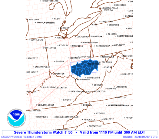
Storm came through about 5:45. Thunder, heavy down pour (didn’t last long) and small hail.
Well…that caught me by surprise. I saw where the SPC put our part of the state under a Slight Risk for severe weather but the Tornado Watch came out of left field (to use a baseball term on Opening Day).
I probably should go out and get my Weather Radio replaced… 😉
BULLETIN – EAS ACTIVATION REQUESTED
TORNADO WARNING
NATIONAL WEATHER SERVICE LOUISVILLE KY
624 PM EDT MON APR 5 2010
THE NATIONAL WEATHER SERVICE IN LOUISVILLE HAS ISSUED A
* TORNADO WARNING FOR…
NORTHERN HENRY COUNTY IN NORTH CENTRAL KENTUCKY…
* UNTIL 700 PM EDT…
* AT 618 PM EDT…NATIONAL WEATHER SERVICE DOPPLER RADAR INDICATED A
SEVERE THUNDERSTORM CAPABLE OF PRODUCING A TORNADO. THIS DANGEROUS
STORM WAS LOCATED NEAR NEW CASTLE…MOVING EAST AT 35 MPH. THIS
STORM WILL ALSO VERY LARGE HAIL THE SIZE OF GOLF BALLS.
* THIS TORNADIC STORM WILL ALSO IMPACT…
LOCKPORT…
BULLETIN – EAS ACTIVATION REQUESTED
TORNADO WARNING
NATIONAL WEATHER SERVICE WILMINGTON OH
642 PM EDT MON APR 5 2010
THE NATIONAL WEATHER SERVICE IN WILMINGTON HAS ISSUED A
* TORNADO WARNING FOR…
CENTRAL OWEN COUNTY IN NORTHERN KENTUCKY…
* UNTIL 715 PM EDT.
* AT 641 PM EDT…RADAR INDICATED A SEVERE THUNDERSTORM THAT WAS
LIKELY PRODUCING A TORNADO. THIS DANGEROUS STORM WAS LOCATED NEAR
GRATZ…MOVING EAST AT 35 MPH. IN ADDITION TO THE TORNADO…THIS
STORM IS CAPABLE OF PRODUCING GOLFBALL SIZED HAIL.
* LOCATIONS IMPACTED INCLUDE…
OWENTON…
IN ADDITION…GRATZ AND NEW COLUMBUS ARE NEAR THE PATH OF THIS
DANGEROUS THUNDERSTORM.
This storm has had a nasty looking hook to it…
Do. Not. Like. Storms.
Well, had three drops of rain in North Mercer…all the storms went N of here.
Ok I have to say it but Some of the Lexington Meterologists that work on TV blew todays forcast big time. Most were calling for just showers mainly around the Ohio River and Northward but now all this.. How was this missed?
ANOTHER Tornado Warning for Fleming County…that makes 3 of them this evening. I’ll likely be visiting that area tomorrow I’ll have to get the scoop on damage, if any.
Looks like that cell still has a hook to it.. Any word on whether there has actually been a touch down?
GR3 now showing new strong rotation NW of Sandy Hook moving Se
Good article. Rapidshare Search Engine ( http://rapidqueen.com ) site, it’s a site where you can download almost all the files that you were looking for.
Awesome that such a young person was able to make such a large impact! Inspiring for all the young folks out there!
I really love your blog, Its nice to realize not everyone is just posting a bunch of rubbish now a days!
Wonderful ! ! Thanks for doing all the research for this.
Good thing it’s very easy. Thank you for this helpful blog. I really appreciate it.