Good Friday, everyone. I really am going to keep this update short and sweet, but will make it up you with the updates later today. Let’s get after it with the headlines.
– Sunshine will be with us today with 40-45 degree high temps for many.
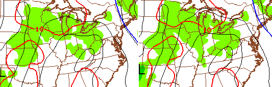
– Clouds will roll back in for the weekend and the models are pointing toward some light showers or sprinkles Saturday night and Sunday. Here’s the NAM…
– Temps this weekend continue to show up lower and lower as we’ve talked about. The NAM insists on being the coldest of the bunch for Saturday…
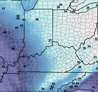 – The Hi-Res NAM agrees…
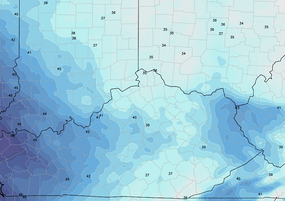
– With the potential for some precipitation around Saturday night, we have to watch the temps. The same Hi-Res NAM is close to frozen by Sunday morning…
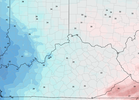
– Moral of the story is temps this weekend could come in pretty darn chilly at any one location.
– Another system rolls our way Monday into Tuesday with rain and then crashing temperatures.
– The models are doing exactly as they should with that system and the one coming in behind it for next weekend and that’s flopping. More on that later today.
– The one thing the models are consistent on is the progression toward a winter pattern Christmas week…
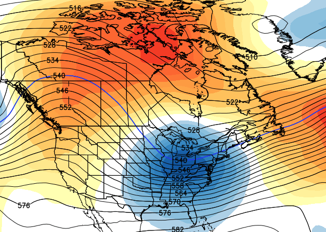
– That’s the start of what should become a very good winter pattern for snow lovers as we close out the year and enter into January.
I will update things later. Take care.

Spirit animal of the snow dome.
Sitting in a pittance of white and looking forever outward toward the snow in time (next week) and space (falling far away). 🙂
http://i.imgur.com/jSk6pb0.jpg
Thanks Chris. Looks like true winter arrives about the time the first day shows up on the calendar. How about that! Anyway going to enjoy the Sunshine today even if it is going to be chilly. Have a great Friday everyone.
I WENT CRAZY FOR AWHILE by Ken Mellons is todays song.
As long as the term, “wintry” is not in CB’s wording we have a chance 🙂
Just a FYI…the sub surface and surface temp monitors on our Clays Ferry bridge have be reconnected after the summer construction…
Bridge construction. Road bottlenecks = Boooooo!
I have refreshed my computer 30 times waiting on the afternoon update…lol
No need, it’s going to be kinda boring next Several days
AccuWeather is forecasting 57 degrees for the high on Christmas day. 🙁 Where are they obtaining their data? It’s weird.
They also have 0 precip chances within the next 30 days as well, I never use AW, never accurate on things even on temps.
That’s good to hear! I hope you’re right. LOL