Good Tuesday, everyone. June is off and running with a shot of very cool weather. Monday gave parts of the state the coldest June high temperature since 1967. Throw in soaking rains and you had some nasty out there. The days ahead don’t look nearly as bad, but you are still going to have problems trying to find true summer heat.
Today’s weather will be much better with a mix of sun and clouds. Isolated showers and storms will be possible, especially across the east and southeast. Highs will generally run in the upper 60s and low 70s with slightly warmer air in the west and south.
Showers and storm chances will increase across the central and east as we head into Wednesday…

Warmer and more humid air will then roll in for Thursday and Friday. Highs will be back in the 80s with the threat for a scattered shower or storm. Storm chances may ramp up a bit late Friday into the weekend as some clusters of boomers try to dive in from the northwest…
The threat for scattered showers and storms will continue into next week as another cold front approaches the region. That may be a sign of things to come. The latest CFS temperature forecast for June…

Here’s the same model forecast for the first half of July…
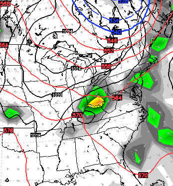
 I leave you with your daily dose of tracking toys…


Enjoy the day and take care.

Thanks Chris. Just hoping for some sunshine. Have a great Tuesday.
Not a fan of 90s and higher temps, so good stuff 🙂 Catch is the longer it is this way, the longer to acclimate when it does get toasty.
Thanks Chris, I am certainly enjoying this cooler weather.
I love these temperatures. You’re the best CB!!!!!!!
I am not a fan of 90’s. But I am not a fan of 56, cloudy, and windy in June either. But you have to take the weather as it comes. On a positive note this weather will help some late plants I put out. Should make them do nicely if it stays cooler than the summer heat for a bit.
I’d love these temps all the way up to and into fall
🙂
Good stuff!