Good Thursday, folks. I would argue this has been the ugliest start to Summer on record around here. The first three days of June have been nothing short of chilly for much of the region. That stuff is now in our rearview mirror with much warmer temps showing up through the windshield.
Highs today should hit the upper 70s and low 80s for most areas with an increase in humidity and more in the way of sunshine. Isolated showers and storms will develop as the day wears on.
Friday into the weekend will be interesting in terms of temps. Areas that have more in the way of sunshine on any given day can reach the middle and upper 80s. The problem with that is we have the threat for clusters of showers and storms to roll our way from the northwest, and those would significantly impact thermometers.
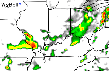
The Simulated Radar from the NAM shows some of these rounds moving in on Friday evening…
 We would then have to watch for additional action moving in Saturday and Sunday. If these clusters do materialize, the setup could spark some pretty big boomers riding around the plains heat ridge.
A cold front then approaches from the northwest Monday into Tuesday with more widespread showers and storms…
Temps between now and the time that front arrives should average above normal…
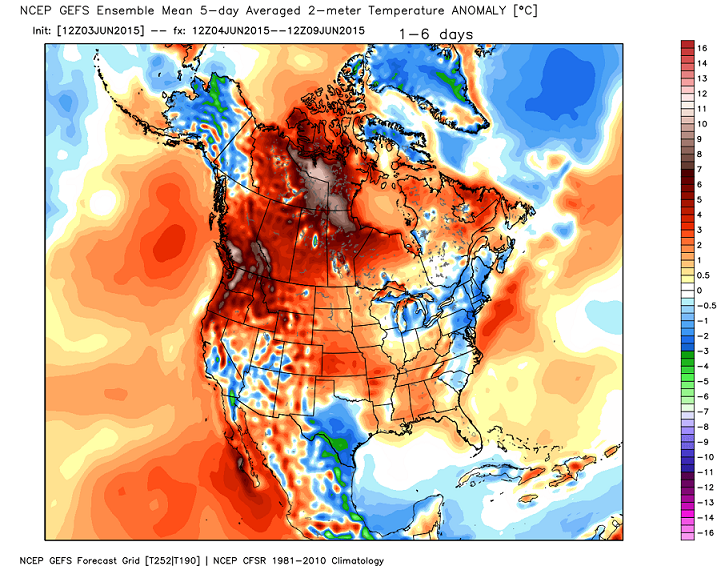
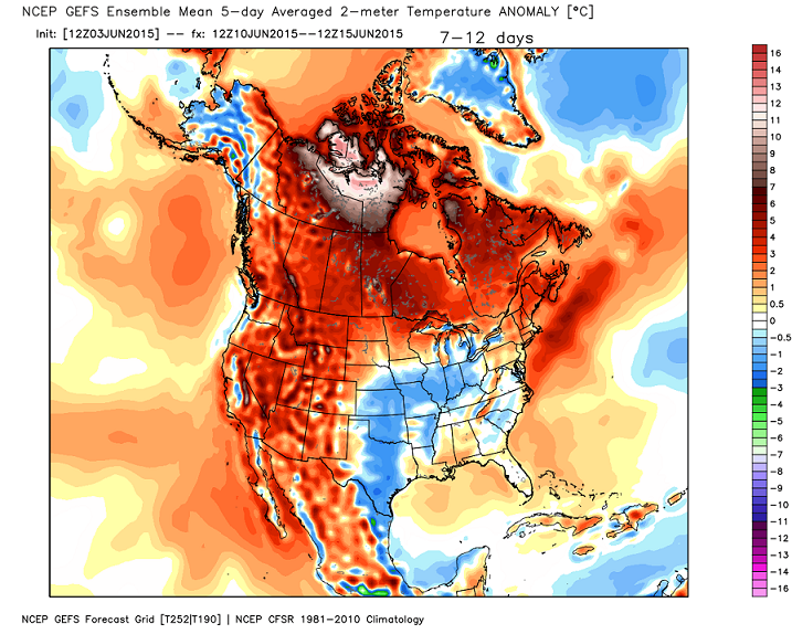
The GFS Ensembles are now seeing the potential cooler air coming beyond that period…
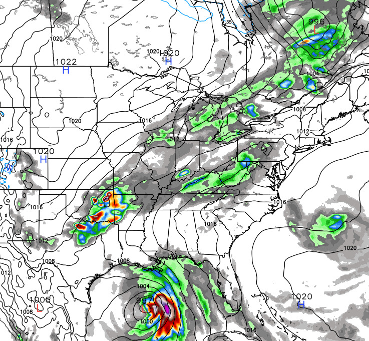
The European Model shows a very strong cold front moving in during the same period and throws in a tropical system in the Gulf…
As I’ve said, this is a fascinating pattern with the developing moderate to strong El Nino and how it influences the weather around here. Because of the lack of real analog years for the strength and placement of El Nino, I’m starting my fall and winter research earlier than normal this year. Yes, I will share what I’m finding. Some of it, anyway. 😉
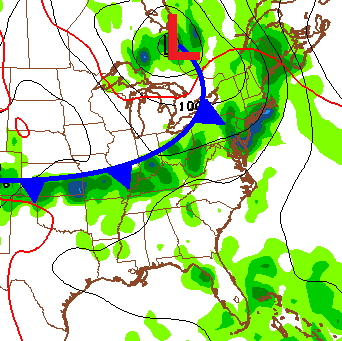
I leave you with some tracking tools…


Have a great Thursday and take care

I know I’ve asked this a while back but it’s been a long time. What does “AWOL” stand for that CB posted yesterday?
Israel, it means Absent WithOut Leave.
Absent WithOut Leave
Harlan Co. finally received some much needed rain yesterday! Some areas received over an inch of rain while I received nearly .5 of an inch. Overall, I have finally tallied over one inch within a week which is a big improvement from the six straight dry weeks we endured:)
Yay! The fog is gone and the sun is shining! I’m lovin’ it! And as it is Friday Eve, and the eve of my Anniversary, I’ll take it! Hope everyone has a great day! And we actually hit through yesterday without getting rain, and after having a little over 2.5 inches the previous 36 hours, a beautiful day is just what I needed! Thanks for the update Chris! Can we get another day like this tomorrow?
HAPPY ANNIVERSARY!!!
Happy Anniversary CoffeeLady
It’s sure sounding a lot like another cold fall and brutal winter. Again…I’m going to enjoy as much of the next 3 months or so that I can. Thanks CB
Amazing how much more energy I have today with sun shining down. I like to laze around on an occasional cloudy day but June should be filled with sunshine and outdoor action!