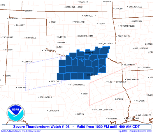
Good evening gang. A TORNADO WATCH is now in effect for parts of central and southern Kentucky until midnight. Here is the latest watch map…
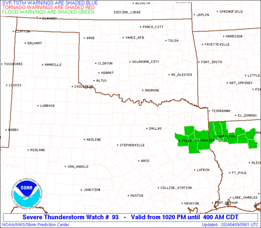
Current Warnings Map
Numerous reports of funnel clouds and possible tornadoes have been received from western Kentucky. This line of storms will continue to move to the northeast through the evening and you can track the storms into your area on radar…
I will be leaving updates in the comments section so be sure to check in there. You can also help us out by giving us reports from where you are.
Take care.
PREVIOUS DISCUSSION
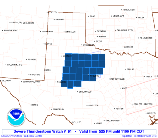
Good afternoon once again. As expected… A TORNADO WATCH has been issued for much of western Kentucky. This watch is in effect until 10pm. Here is a look at the counties included in the watch…
URGENT – IMMEDIATE BROADCAST REQUESTED
TORNADO WATCH NUMBER 91
NWS STORM PREDICTION CENTER NORMAN OK
220 PM CDT SAT MAR 28 2009
THE NWS STORM PREDICTION CENTER HAS ISSUED A
TORNADO WATCH FOR PORTIONS OF
NORTHERN ALABAMA
EXTREME SOUTHEAST ILLINOIS
PARTS OF WESTERN AND CENTRAL KENTUCKY
MIDDLE TENNESSEE
EFFECTIVE THIS SATURDAY AFTERNOON AND EVENING FROM 220 PM UNTIL
900 PM CDT.
TORNADOES…HAIL TO 2 INCHES IN DIAMETER…THUNDERSTORM WIND
GUSTS TO 70 MPH…AND DANGEROUS LIGHTNING ARE POSSIBLE IN THESE
AREAS.
You can check out the latest warnings with this map…
Thunderstorms will continue to rapidly develop across western Kentucky into the evening hours. These storms will then roll into central and southern parts of the state during the mid to late evening hours. You can follow the storms on radar…
I will continue to watch these storms and have the latest information through the evening so be sure to stay with the blog. I will take it live if needed later this evening.
Take care.
Select Page
Someone should teach the “other” weather guy how to blog! RUDE!
SPC says that given the time (10pm to 2am) it should not be as bad here. ?????? I wonder if the watch will be extended to include southeast ky? Days like this reminds me why I love winter:)
what happened chelle?
I’m the opposite. Its days like this why I love spring. Plain old rain is boring.
Looks like a line is trying to fire up just East of Paducah.
I totally agree chelle.
I really dont know what it was suppose to be about it was just rude I thought 🙂
boogity boogity boogity lets go storm tracking boys!!!!!
Tornadic storm heading into Evansville now, several others in west KY are becoming tornadic.
This is why I like Snow…it saves on my Xanex…lol..
Wow! Those storms are really starting to pop in western KY! And we have sunny skies and 71 here in Somerset right now.
chris, if you feel the need to go live, I will be checking in frequently! right now, I am watching Uconn and Missouri. So far my brackets are still in pretty good shape. If I get through this weekend, I don’t think anyone in the office pool can catch me!
thanks for the update, Chris! Will be checking back soon.
nashville and owensboro under tornado warnings. still a few hrs away.
Until you know what the “other” guy was referring to, I do not believe it is fair to make this judgement.
Extensive damage reported in Corydon, KY (near Owensboro), 2 people reported ‘missing’….
New Tornado Watch for parts of central Ky… update to THIS blog post coming soon.
Belski is blogging live on the home page for WAVE in Lousyville. Sounds like all hell is breaking loose in western KY. GO Cats (Villanova, that is).
Whats the deal??? Now the SPC homepage for monticello says “showers” instead of “thunderstorms” for tonight. Why would they do that?
This line seems to be moving very slowly. It will die by the time it gets to where I live….
Guys is this stuff heading into eastern ky???????????
Please pray for my son in Taylor County. He loves to chase storms and photographs them. He and a friend have gone out to watch. I told him not to leave Taylor County, but I am sure he won’t listen to me.:-) Does anyone know how he could get a job with the Weather channel running a camera or taking photos with the storm trackers?
Is it expected for these storms to weaken out some as it gets dark or will they rev up? Is it likely that the tornado watch area will move eastward (even more) or will that threat diminish? Thanks for the info. I really don’t like severe weather hitting after dark!
I storm-chased when I was a meteorology major at Ohio State. Excellent program at the University. During the spring tornado season, we would take groups out to the pains states and even western KY and chase supercells. We even went to hunt a few Hurricanes! Your son could become a trained weather spotter, and usually in the class, they will discuss different amateur groups that meet regularly, or at least mine did.
I storm-chased when I was a meteorology major at Ohio State. Excellent program at the University. During the spring tornado season, we would take groups out to the pains states and even western KY and chase supercells. We even went to hunt a few Hurricanes! Your son could become a trained weather spotter, and usually in the class, they will discuss different amateur groups that meet regularly, or at least mine did.
Here is a link to Ohio State’s storm spotter and meteorology program:
http://twister.sbs.ohio-state.edu/
Dr. Forbes on TWC says darkness will do little to weaken the storms, and things will go on into the night even over WV and PA. But then again, its TWC. We’ll see.
BULLETIN – EAS ACTIVATION REQUESTED
TORNADO WARNING
NATIONAL WEATHER SERVICE LOUISVILLE KY
829 PM EDT SAT MAR 28 2009
THE NATIONAL WEATHER SERVICE IN LOUISVILLE HAS ISSUED A
* TORNADO WARNING FOR…
CENTRAL HARDIN COUNTY IN NORTH CENTRAL KENTUCKY…
NORTHEASTERN GRAYSON COUNTY IN SOUTH CENTRAL KENTUCKY…
* UNTIL 900 PM EDT/800 PM CDT/…
* AT 726 PM CDT…NATIONAL WEATHER SERVICE DOPPLER RADAR INDICATED A
SEVERE THUNDERSTORM CAPABLE OF PRODUCING A TORNADO NEAR BIG
CLIFTY…MOVING NORTHEAST AT 45 MPH. THIS IS A DANGEROUS STORM.
TAKE COVER NOW!
* THE TORNADO WILL BE NEAR…
SUMMIT AROUND 835 PM EDT…
HOWE VALLEY…VERTREES AND EASTVIEW AROUND 840 PM EDT…
STEPHENSBURG AROUND 845 PM EDT…
ADDINGTON FIELD AIRPORT AND CECILIA AROUND 850 PM EDT…
Skies turned dark & creepy in a hurry here in Bardstown, and just heard the first thunderclap(s)…
what does the storms look like for campbellsville anyone??????????
Don’t know about that…I prefer “plain old rain” to seeing the roof go flying by any day!
Semi reportedly picked up and tossed on I-24 in Todd Co.
Is it me or do things look to be weakening? Earlier there was either a severe thunderstorm warning or a tornado warning in every county from northern KY to middle Tn. Now, there are not any warnings in that area.
any thoughts if these nasty storms might weaken any. by thoughts and prayers go out to those effected by these storms.
I think it’s weakening 2. I’m an hour from Ashland westward and it doesn’t seem that we will get tornados here.
You guys should be okey-dokey on the storm threat for the rest of the evening. The line has quickly diminished in intensity, and just look for some brief heavy downpours when the line moves through!:) We got lucky that the line was slow enough to weaken with the onset of nightfall, but feel terrible for those in Western KY that were in the line of fire there for a time.
So does this mean they think Lexington isn’t going to get hit? Sure looks like it to me. And the wind has really picked up here in the few minutes.
storms starting to loose there punch. snow shwr chance tommorow only in ky!
…LINE OF STRONG STORMS CROSSING CENTRAL KENTUCKY…
AT 1004 PM EDT /904 PM CDT/…NATIONAL WEATHER SERVICE DOPPLER RADAR
WAS TRACKING STRONG THUNDERSTORMS ALONG A LINE EXTENDING FROM
BEDFORD TO ALBANY…MOVING NORTHEAST AT 40 MPH.
FREQUENT DEADLY LIGHTNING…HEAVY RAIN…SMALL HAIL…AND GUSTY
WINDS TO 40 MPH…ARE EXPECTED WITH THESE STORMS.
THESE STORMS WILL BE…
NEAR JAMESTOWN BY 915 PM CDT.
NEAR LIBERTY BY 1035 PM EDT.
NEAR HARRODSBURG BY 1040 PM EDT.
NEAR DANVILLE BY 1050 PM EDT.
NEAR VERSAILLES BY 1055 PM EDT.
NEAR STANFORD BY 1100 PM EDT.
IF YOU ARE IN THE PATH OF THESE STORMS…SEEK SHELTER INDOORS AND
STAY AWAY FROM WINDOWS. STAY TUNED TO NOAA ALL HAZARDS RADIO…
WEATHER.GOV/LOUISVILLE ON THE INTERNET…OR LOCAL MEDIA FOR LATER
UPDATES AND POSSIBLE WARNINGS.
Winds are really blowing/gusting here in Somerset as of 10:37 PM. It appears the severe threat is diminishing, but you can never say never until the storms/squall line passes you by.
On another note, and I hope this is ok to ask, who do you want to see as UK’s next basketball coach?? I would prefer a certain A list group of candidates, but I would take almost anyone over T. Ford. I think it would be a disaster if he was hired. If that indeed should happen, then there needs to be a march on the President Todd’s doorstep to tell him how mistaken he and Mitch are for making that hire followed by their immediate resignations. As you can tell, I feel really strongly about who should NOT be the next coach.
small hail in Versailles
High winds,heavy rain and small hail in NIcholasville
one inch hail reported here and alot of water in parts of downtown london
join the chat on spotterchat.com use the update version. only if your interested in weather and SKYWARN
signs of rotation showing on radar in Laurel CO
It’s just starting 2 rain n Bath Co. Is there anything severe? It’s also lightning.