Good Wednesday to one and all. Our much anticipated blast of September air is now doing its thing across the bluegrass state. This means some great weather for the next few days and that means your friendly weatherdude isn’t going to spend a lot of time on this update. 🙂
Highs today and Thursday will range from the upper 70s to around 80 for many with lows dropping into the 50s. A mix of sun and clouds will be noted with much lower humidity levels. Overall, this is some of the good stuff.
The pattern this weekend will see temps returning to the low and middle 80s with a slight chance for a shower or thunderstorm. This happens as part of the current trough breaks off and heads into the deep south, allowing for the warmest air to bypass us to the north…
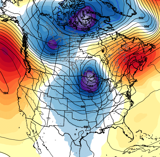
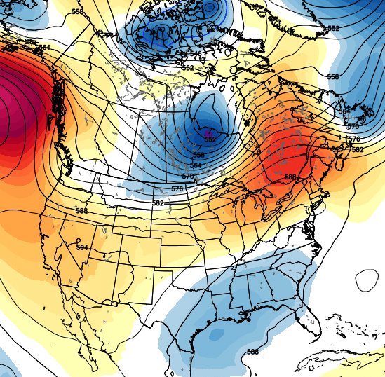 Temps may spike a little but by the middle of next week as another trough shows up across the middle of the country. That should then come east with cooler weather later in the week…
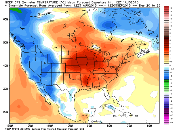
If we look a little farther down the road toward September. The CFS is trying to warm things up for as the month begins…
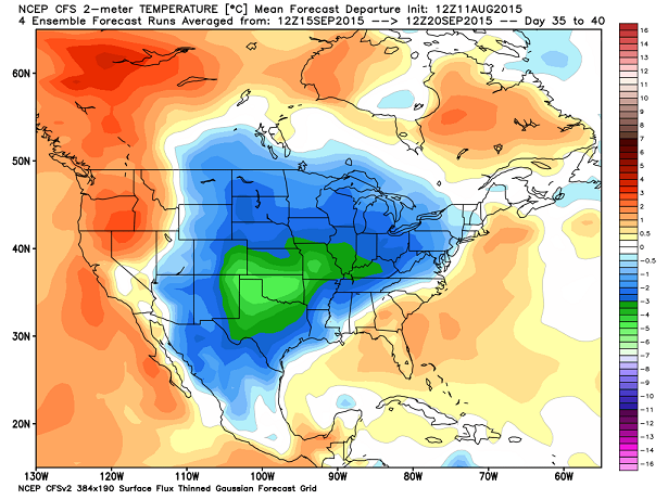
 The middle of the month has a different look…
I’ve got my hands on some new fall and winter forecasts from some seasonal models, and will post those later this week.
Until then… enjoy this gorgeous weather and take care.

What a beautiful day!