Good Tuesday, weather fam. We continue with one heck of an awesome weather pattern across the commonwealth of Kentucky. Fall weather fans have been loving the past several days, but it looks like things will warm up a bit for the rest of the week. As this is happening, the calm pattern looks to pick up the pace this weekend into next week.
The weather for the rest of the week will continue to feature cool mornings with mild/warm afternoons with clear skies.
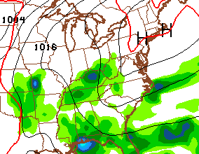
A cold front approaches late Friday into Saturday and should have, at least, scattered showers and thunderstorms ahead of it. The latest model runs are faster with this front on Saturday and give it a little farther push to our south…
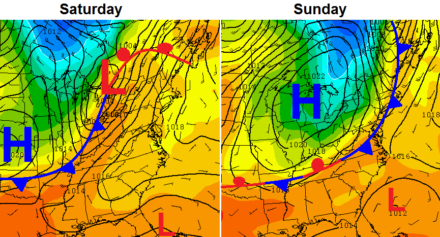
That leads to a cooler forecast for the weekend as our temps head a little below normal from Saturday into Sunday…
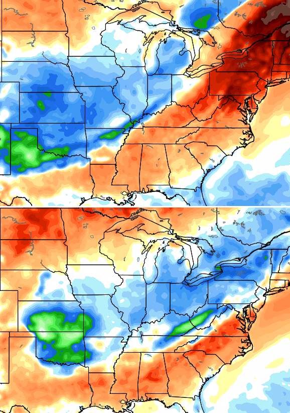
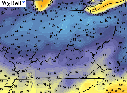
Lows by Sunday morning could be back into the upper 40s and low 50s…
If the models are correct with the farther south front, expect those numbers to come down in the next several days.
That front may slam the brakes on across the Tennessee Valley instead of the Ohio Valley, and then lift slowly back to the north. That could create some more showers and storms by next Monday and Tuesday…
Beyond that, the we will have to wait and see what happens with the trough swinging across the plains states. The latest runs of the GFS want to develop another healthy closed low across our region…
I’m wondering if the tropics will have something to say about the overall pattern across North America over the next few weeks? Don’t be surprised if we get a storm or two to impact the states before all is said and done.
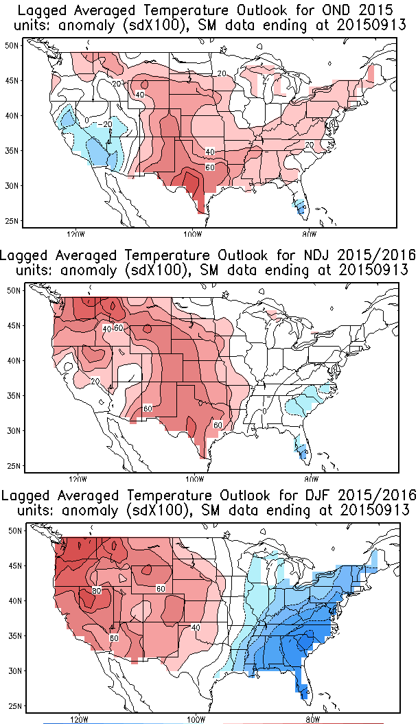
Looking WAY down the road for the rest of fall and into winter, the new CAS model forecast is out. This is similar with a lot of the other season models I’ve been showing with the coldest temps relative to normal coming as we go deeper into the winter. Check out the 3 month increments…
As always, we shall see.
Have a great Tuesday and take care.

Thanks Chris. I especially liked your reference to is as a family. I feel
like that’s what we are. I am loving the weather right now. Only thing I am not living is the shorter days. Not ready to give up the longer days yet. Have a great Tuesday everyone.
I guess data entry can be tedious at times…looking at yesterday’s high and low temperatures, I performed an Excel command for the lowest temperature of those 1,400+ locations and was given a reading of -53 degrees. I thought wow, what cold front slammed Alaska that I did not know about. Another command led me to Port Isabel…name sounded familiar but not for Alaska. Try Texas, in the vicinity of the Brownsville NWS. Port Isabel high was 88 and low was -53, a 141 degree spread! Okay, it was wrong, but that kinda skewed my data a little bit.