Good Wednesday, folks. We have a picture perfect stretch of September weather rolling on through the rest of the week. That perfect look will change a bit into the weekend as a cold front marches in from the north and northwest. From there, things look much more unsettled as we head into next week.
The forecast for today through Friday remains unchanged. Cool mornings with mild/warm afternoons. Deal with it! 🙂
The front moves in on Saturday with a broken band of showers and storms ahead of it…
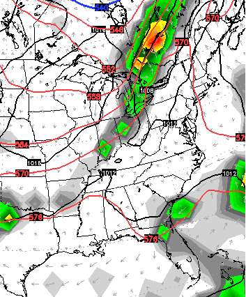
As of now, I’m not seeing anything close to a washout on Saturday. If anything, some areas may not see much rain at all.
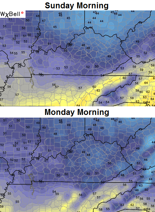
This front inches just to our south on Sunday as cooler air filters in…
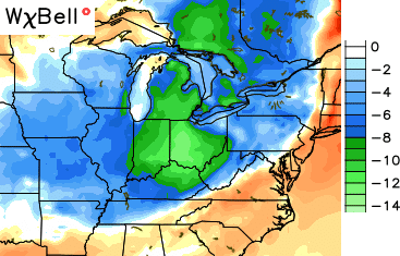 The GFS pushes that front farthest south of any of the models and gives you some chilly mornings in return…
 The European Model is back to showing what the GFS had been showing up until a few days ago, and that’s a stalled front with waves of showers and storms developing along it. The model goes about it a little differently with a “baggy” trough developing across our region and into the southeast…
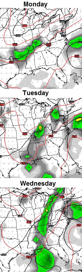 We will have tow wait and see with how it all plays out, but the overriding theme is for seasonally cool air late this weekend into early next week.
Have a great day and take care.

Mid sept through mid nov is some of the best weather we have in this state.
Guess changes have to come but I have sure enjoyed this weeks weather! Saturday doesn’t look too bad either. By the way, I hear a certain weather dude has a birthday today. Happy Birthday Chris! Best weatherman around!